

Gilgit Ancient Silk Road and Buddhist Kingdom History
Explore the deep history of Gilgit — the Silk Road town that served as a crucial junction between India, China, and Central Asia for over a millennium, where the Buddhist kingdom of Gilgit accumulated Sanskrit manuscripts now in museums worldwide, and where the rock inscriptions of the Karakoram record the passage of pilgrims, merchants, and diplomats across the roof of the world.

Gilgit Shimshal Valley Remote High Altitude Trekking
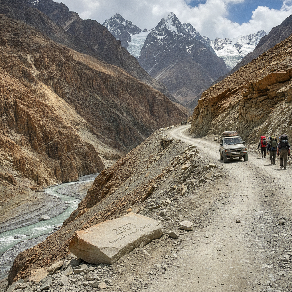
Trek into the Shimshal Valley — the most remote permanently inhabited valley in Pakistan, accessed by a single road blasted through the gorge in 2003, where the nomadic yak herders of the Wakhi people spend summers at 4,800 meters on the Shimshal Pamir plateau, and where the mountains above include several unclimbed peaks above 7,000 meters.

Gilgit to Skardu Indus Canyon Road Journey
Drive the Gilgit to Skardu road — one of the most spectacular mountain roads in Asia, following the Indus river canyon through the heart of the Karakoram range, where the river has cut a gorge thousands of meters deep through the highest mountain mass on earth and the road clings to the canyon walls in a journey that ranks among the great mountain driving experiences.

Gilgit Ismaili Culture and Aga Khan Development
Understand the unique Ismaili Muslim culture of Gilgit-Baltistan — the community that follows the Aga Khan as imam and has embraced education, development, and pluralism as religious values, creating the most literate and gender-equal society in rural Pakistan with the support of the Aga Khan Development Network that has transformed the mountain region.

Gilgit Phander Valley Lakes and Ghizer River
Travel west from Gilgit into the Ghizer valley — the road less traveled that leads through the Shandur Pass (the world's highest polo ground) to Chitral, passing the turquoise Phander Lake, the crystal Handrap Lake, and the remote mountain villages of the Ghizer district where the Khowar language and the cultural traditions of the Hindu Kush prevail.

Gilgit to Hunza Valley and Baltit Fort
Drive up the Karakoram Highway from Gilgit to the Hunza Valley — the most beautiful mountain valley in Pakistan where apricot orchards, ancient forts, and the Rakaposhi and Ultar Sar peaks create a landscape of extraordinary visual richness, with the medieval Baltit Fort above Karimabad village as the cultural centerpiece.
Gilgit to Fairy Meadows and Nanga Parbat Base
Trek to Fairy Meadows — the alpine meadow at 3,300 meters with the most dramatic view of Nanga Parbat (8,125m), the world's ninth highest mountain and the westernmost of the 8,000-meter peaks, its Rupal face rising 4,600 meters in a single wall — the greatest mountain face on earth — visible from the flower-covered meadow below.

Gilgit Karakoram Highway Gateway to the Mountains
Discover Gilgit — the mountain capital of Gilgit-Baltistan where the Karakoram Highway arrives from China through the Khunjerab Pass, where three of the world's greatest mountain ranges (Karakoram, Hindu Kush, and Himalaya) converge within a hundred kilometers, and where the rivers and valleys spreading out from the town offer access to some of the highest and most remote landscapes on earth.