Adelaide City Laneways & Park Walk
Walk Adelaide's distinctive grid of city parklands, heritage laneways, and the emerging bar and cafe scene in the East End and surrounds — a city where 19th century planning preserved green space that other Australian cities long ago built over.
- 1
Adelaide Parklands North Terrace
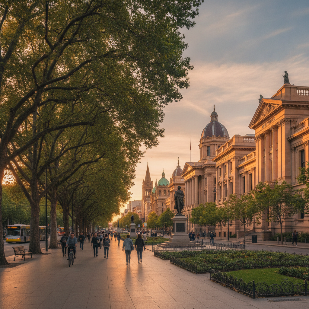
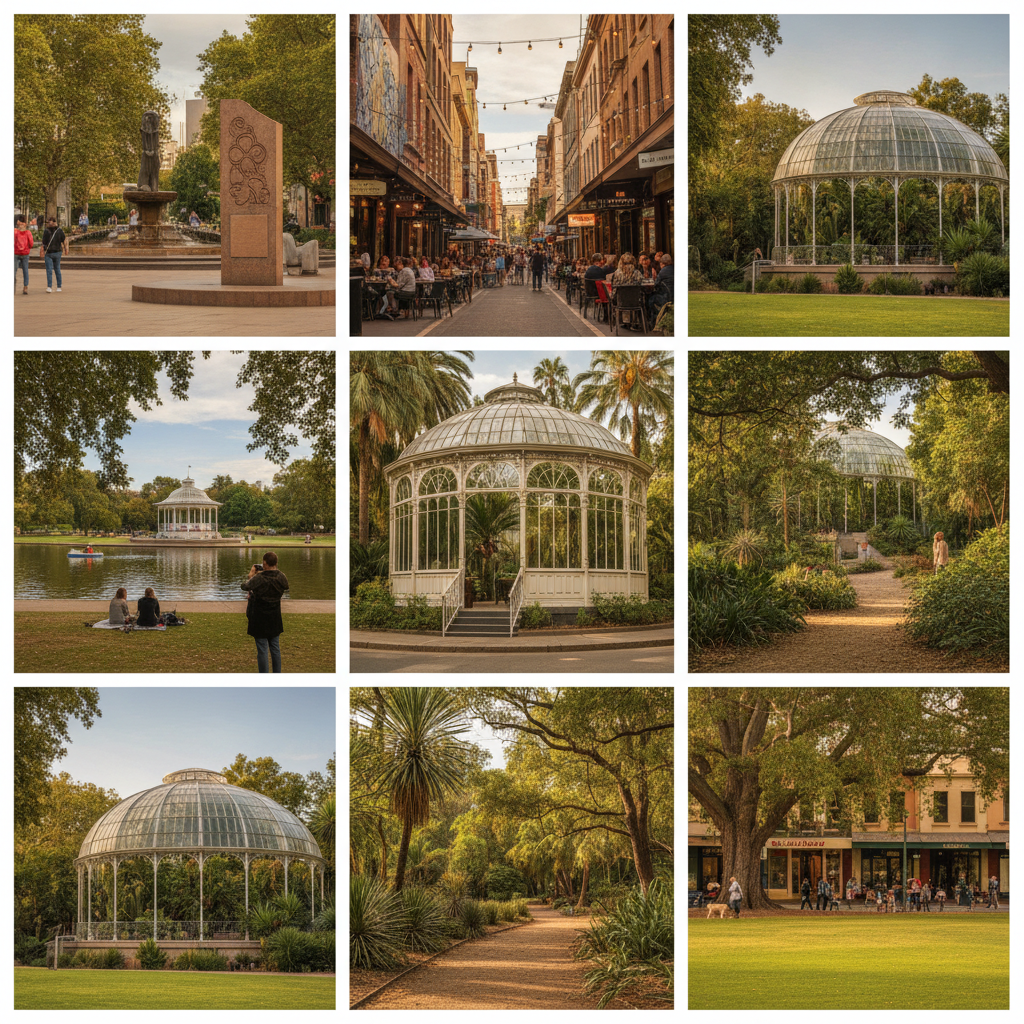
The Adelaide Parklands encircle the entire city grid — the 930-hectare greenbelt that Colonel Light planned in 1836 is extraordinary by any measure, giving Adelaide more parkland per capita than any other major city in Australia.
- 2
Rymill Park / Murlawirrapurka
Rymill Park in the East Parklands has a boating lake, velodrome, and rose garden — the park's Kaurna name Murlawirrapurka reconnects the space to its pre-colonial significance as part of the landscape of the Kaurna people.
- 3
Peel Street Bar Laneway
Peel Street is Adelaide's most celebrated bar laneway — the narrow lane between Hindley and Gouger Streets has become the centre of Adelaide's cocktail bar scene, with venues that have earned national recognition for their quality.
- 4
The East End Rundle Street
The Rundle Street East End is Adelaide's bohemian main street — outdoor dining under street trees, independent fashion, art galleries, and the weekend market create a street culture that makes this the social centrepiece of inner Adelaide.
- 5
Adelaide Oval
Adelaide Oval is Australia's most beautiful cricket ground — the restored 1871 stadium with its scoreboard, Members Pavilion, and cathedral-like scale overlooks the River Torrens and is considered the finest cricket venue in the country.
- 6
River Torrens Linear Park
The River Torrens Linear Park follows the river from the hills to the sea — the 35-km walking and cycling path through the city centre connects the Zoo, Elder Park, the Festival Centre, and Adelaide Oval in a continuous green corridor.
Walk this route with audio
Stories play automatically as you reach each stop — no tapping needed.