Saint Mary's Island: Banjul's Geography & River-Ocean Meeting
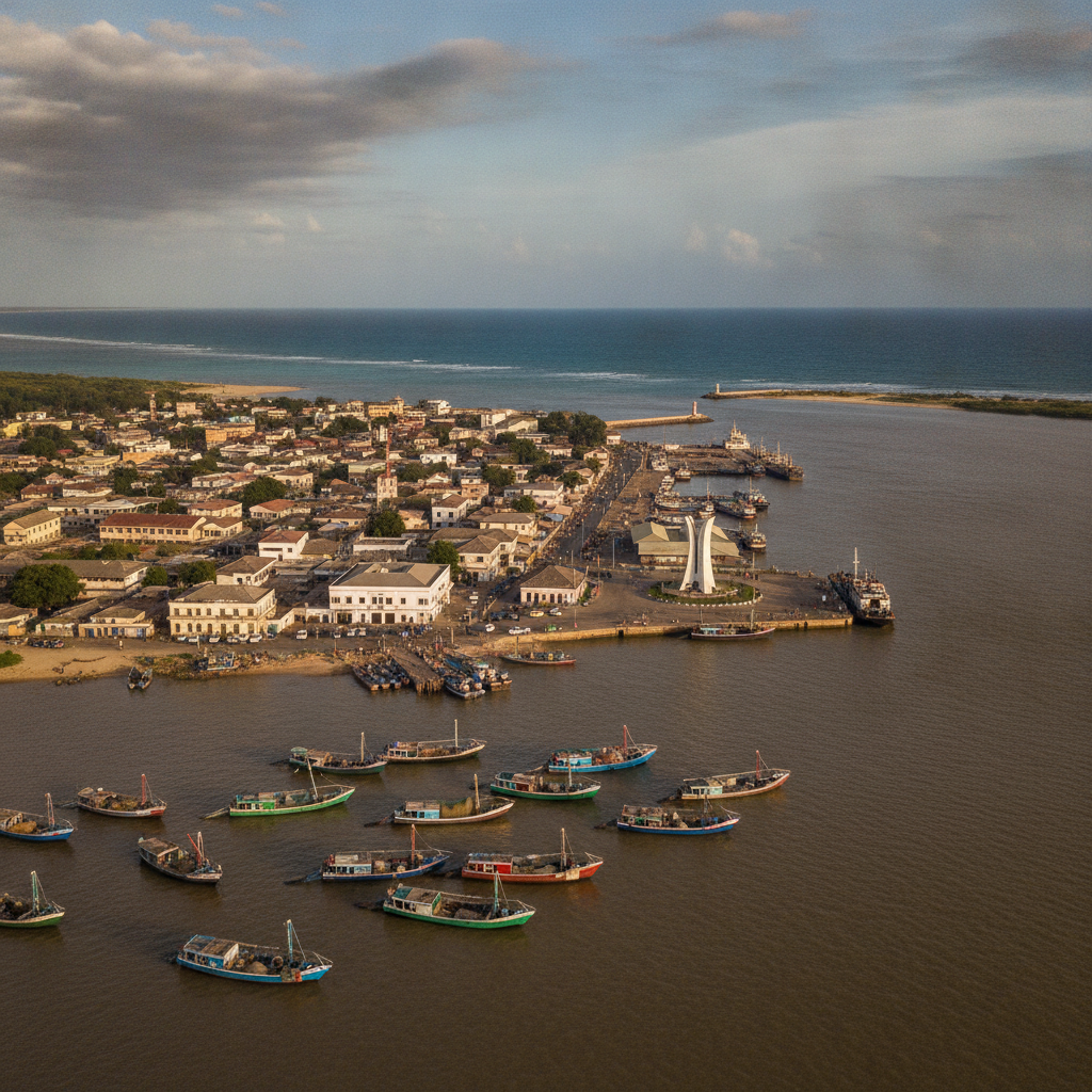
Banjul is built on Saint Mary's Island at the Gambia River's mouth — the smallest capital in mainland Africa, where the river meets the Atlantic in a geography that shaped the nation's history
- 1
Gambia River Mouth Panorama
The view from Banjul's promenade of the Gambia River meeting the Atlantic — a geographical event visible from the arch of the city's bridge, where brown river water mixes with blue sea
- 2
Port of Banjul Historic Quay
The old colonial wharf where sacks of groundnuts were loaded for export to Liverpool — the port's history tells Gambia's economic history as Europe's groundnut warehouse for a century
- 3
Banjul Ferry Crossing to Barra
The car ferry across to Barra on the North Bank carries everything from buses to goats — the 20-minute crossing offers the best view of Banjul's skyline from the river
- 4
Georgetown Fort (Fort Bullen) Barra
The British fort at Barra Point, built to suppress the slave trade after 1807, faces Kunta Kinteh Island – the two forts form a gateway to the history of the Atlantic slave trade
- 5
Sunset from MacCarthy Island
Taking the ferry to MacCarthy Island in the middle of The Gambia — lush, quiet and relatively untouched — for a sunset over the wide river is The Gambia's most peaceful experience
- 6
Banjul Night on the Gambia River
A night on the river watching Banjul's lights reflect in the water as hippos call from the darkness upstream - The Gambia at its most atmospheric and least touristy
Walk this route with audio
Stories play automatically as you reach each stop — no tapping needed.
More in Banjul
Gambia River National Park: Chimps, Hippos & River Life
Gambian Atlantic Beaches: Kololi, Senegambia & The Smiling Coast
Serekunda: The Real Gambia's Largest Town & Market
Gambian Cuisine: Domoda, Benachin & the Groundnut Nation's Food
Juffureh & Kunta Kinteh Island: Roots, Slavery & Diaspora Heritage