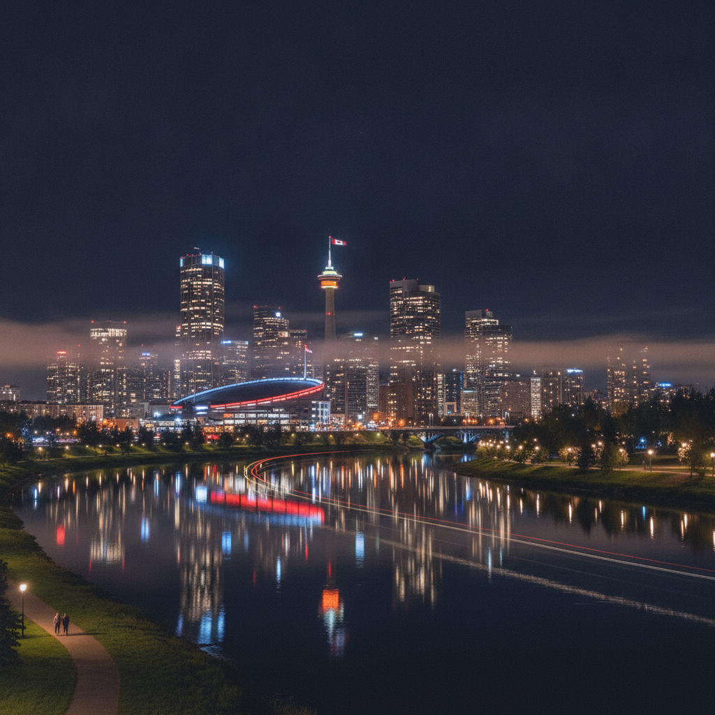
Calgary: Named for a Bay in Scotland by a Commanding Officer Who Renamed the Fort Because He Thought the Founder Was Incompetent, the Second Largest City Park in Canada Nobody Visits and 165 Billion Barrels Under the Boreal Forest
Read the Fort Calgary origin story where Inspector Brisebois named the fort after himself and was immediately overruled by his superior who renamed it after a Scottish bay and then removed Brisebois for ineffective command, walk Nose Hill Park where 1127 hectares of intact northern fescue grassland sits above the city as the second largest urban park in Canada with coyotes and 200 bird species and medicine wheel archaeological sites that had humans on them for thousands of years before the city appeared, understand that Treaty 7 signed in 1877 meant completely different things to the Blackfoot who thought they were sharing land and the government that thought they were acquiring title, look at the Fort McMurray oil sands operation 500 kilometres north where 165 billion barrels of bitumen make Alberta a global petroleum power and the steam extraction process makes it the most carbon-intensive petroleum production in the world, find Forest Lawn where the most diverse and immigrant-welcoming neighborhood in Calgary is also the most economically precarious, and walk Mission on 4th Street SW where the oldest inner-city residential neighborhoods in Calgary were built along the Elbow River by the first families wealthy enough to live away from the downtown.
- 1
Calgary NWMP History and Fort Calgary
Fort Calgary, established at the confluence of the Bow and Elbow Rivers on August 18, 1875, when a division of the North-West Mounted Police under Inspector Ephrem Brisebois arrived after a grueling 800-mile march from Manitoba to establish law and order on the Canadian prairies before American whiskey traders and criminal elements entrenched themselves north of the border, was named Fort Brisebois by the Inspector who founded it, then renamed Fort Calgary by the commanding officer Colonel James Macleod who considered Brisebois an ineffective commander. The name Calgary derives from Calgary Bay on the Isle of Mull, Scotland, where Macleod had family connections. The fort was a collection of wooden buildings at the river confluence that were gradually replaced and expanded as the settlement grew and the CPR arrived in 1883. The Fort Calgary National Historic Site on the original location in the East Village contains a replica of the original 1875 fort, an interpretive center telling the story of the NWMP founding, and archaeological remains of the original structures. The NWMP march of 1874, the Long March, covered nearly 1,400 kilometres from Manitoba to southern Alberta to suppress the whiskey trade at places like Fort Whoop-Up near Lethbridge, and is considered one of the more remarkable logistical achievements of the Canadian West.
- 2
Calgary Nose Hill Park Urban Wilderness
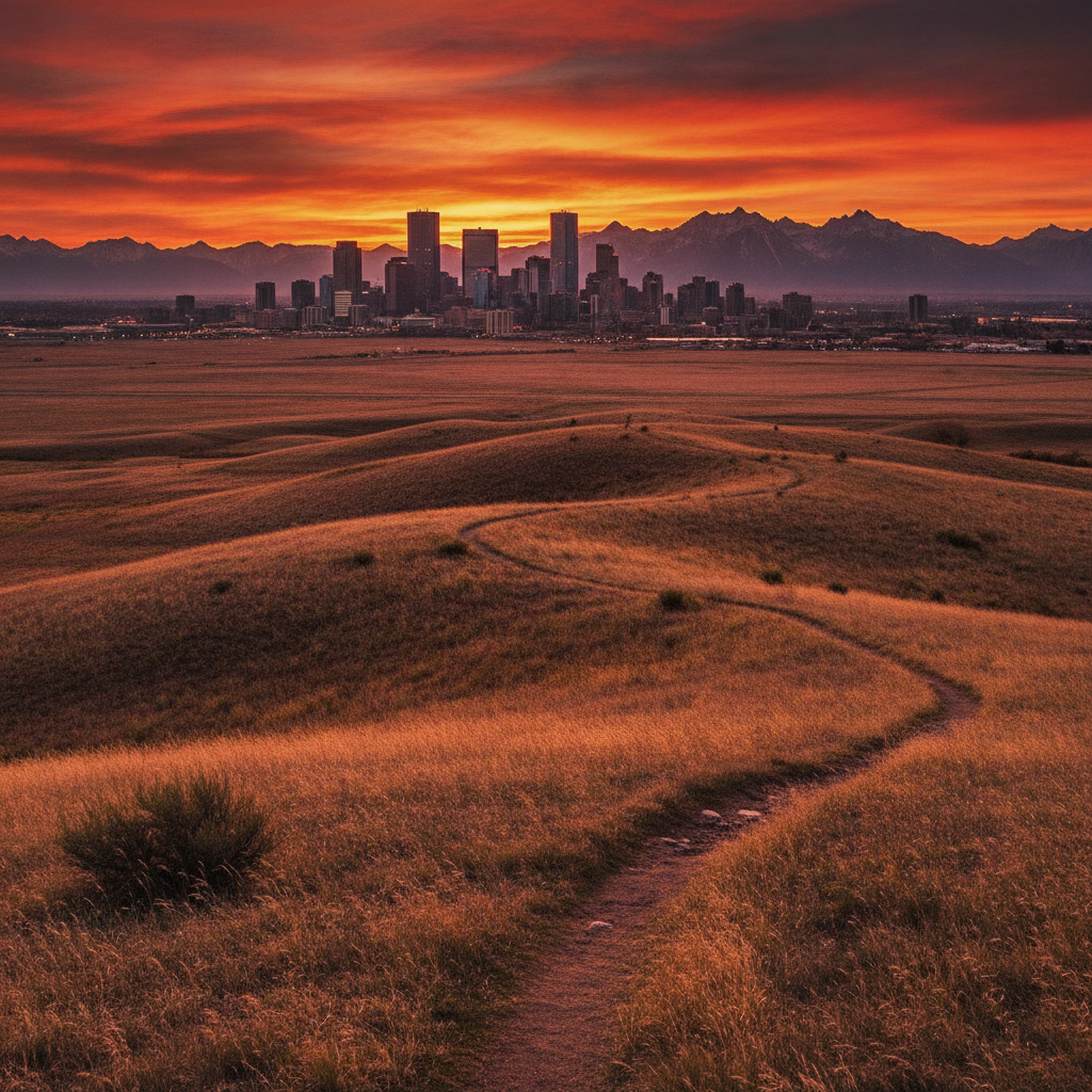
Nose Hill Park, a 1,127-hectare natural area on the northern plateau of Calgary overlooking the city and the mountains to the west, is the second largest municipal park in Canada and one of the last intact pieces of northern fescue grassland within an urban area in North America, preserving the native prairie ecosystem that once covered the entire southern Alberta plains. The park sits on a broad flat-topped hill rising about 50 metres above the surrounding residential areas, with panoramic views of downtown Calgary, the Rocky Mountain front range, and the rolling prairie. Coyotes, deer, red foxes, ground squirrels, prairie dogs, and over 200 bird species including short-eared owls, northern harriers, and Swainsons hawks are visible in the park. The park is actively managed for grassland health including controlled burns to maintain native grass communities and reduce encroachment of invasive species. Indigenous peoples used Nose Hill as a vision quest site and observation point for centuries before European settlement. The hilltop archaeological sites include medicine wheels and tipi rings. The park is accessible by trail from multiple surrounding residential neighborhoods and is heavily used by dog walkers, trail runners, and birdwatchers. The view from Nose Hill at sunset, with Calgary spread below and the Rocky Mountains illuminated by evening light, is one of the finest urban viewpoints in Canada.
- 3
Calgary Reconciliation and Indigenous Relations
Calgary sits within the traditional territory of the Treaty 7 Nations: the Blackfoot Confederacy comprising the Siksika, Kainai, and Piikani Nations, and the Stoney Nakoda and Tsuu Tina Nations. The formal land acknowledgement at public events in Calgary recognizes this territorial reality. The treaty relationship between the Canadian government and the Treaty 7 Nations, signed at Blackfoot Crossing in 1877, was understood differently by the two parties: the First Nations understood they were sharing the land while retaining hunting rights, the Canadian government understood the treaty as a transfer of land title. The disparity in understanding and the subsequent violation of treaty promises in areas including reserve land allocation, hunting and fishing rights, and the residential school system have created a legacy of trauma and legal dispute that the Truth and Reconciliation Commission process since 2015 has begun to address. The Tsuu Tina Nation reserve immediately west of the Calgary city limits is one of the most economically developed First Nations reserves in Canada, with the Stoney Nakoda resort and casino in Morley, west of Calgary, generating significant community revenue. Indigenous arts, crafts, and cultural events are increasingly visible in the Calgary arts calendar through organizations including the Calgary Indigenous Arts Festival.
- 4
Calgary Oil Sands and Petroleum Heritage
The Alberta oil sands, the world largest proven petroleum reserves outside Saudi Arabia with over 165 billion barrels of recoverable bitumen, are located 500 kilometres north of Calgary near Fort McMurray and have been the primary economic driver of the Alberta economy since large-scale extraction began in the 1970s with Syncrude and Suncor as the founding operators. The extraction of bitumen from oil sands requires either open-pit mining that creates vast landscape disturbance or in-situ extraction using steam injection that requires enormous quantities of natural gas and water. The energy intensity, water use, and land disturbance of oil sands extraction make it among the most carbon-intensive and environmentally impactful petroleum production in the world. Calgary is the head office city of the oil sands industry, housing the executive and financial management of Syncrude, Suncor, CNRL, Cenovus, Husky, and dozens of other oil sands operators and service companies. The Petroleum History Society and the Petroleum History Society archives in Calgary document the history of the Alberta oil industry from the original Turner Valley gas and oil discoveries in 1914 to the present. The Canadian Petroleum Producers association and other industry organizations headquartered in Calgary make the city the lobbying and policy center of the Canadian petroleum industry.
- 5
Calgary Southeast Neighborhoods and Diversity
The southeast quadrant of Calgary, including the communities of Forest Lawn, Albert Park, Applewood, and Penbrooke Meadows, is the most economically and ethnically diverse area of the city, with a high proportion of recent immigrants, a lower median household income than other quadrants, and a distinctive commercial landscape of Vietnamese, Ethiopian, Pakistani, Filipino, and Latin American businesses on the major commercial streets of 17th Avenue SE and 36th Street SE. Forest Lawn in particular, a former independent municipality annexed by Calgary in 1961, has maintained a distinct community identity as an affordable and immigrant-welcoming neighborhood. The Max Bell Arena and various sports facilities in the southeast serve community recreation needs. The Calgary Stampede grounds and the BMO Centre expansion are at the northwest corner of the southeast quadrant, creating a significant event infrastructure that brings visitors into an otherwise overlooked part of the city. The Inglewood neighborhood, on the northern edge of the southeast quadrant along the Bow River, is the oldest commercial district in Calgary and has been revitalized as an arts and independent business destination. The Village at Inglewood craft market and gallery walk events bring visitors from across the city to a neighborhood that is otherwise invisible to most Calgary tourists.
- 6
Calgary Elbow River Valley and Communities
The Elbow River, flowing from the foothills southwest of Calgary through the city to its confluence with the Bow River at the original Fort Calgary location, defines the residential geography of the southwest quadrant of the city, with the communities of Mission, Erlton, Roxboro, Elbow Park, and Britannia developed along the river valley in the early 20th century as Calgary first middle and upper-middle class residential neighborhoods. The Mission district on 4th Street SW immediately south of the downtown is the most dense and active inner-city neighborhood after the Beltline, with restaurants, coffee shops, and independent retail in converted Edwardian houses and 1950s commercial buildings. The Elbow River pathway follows the river from downtown through these historic neighborhoods to the reservoir in Glenmore Park. Mount Royal, the hilltop neighborhood above Mission that was the residential address of Calgary elite from the 1910s onward, contains the finest large residential architecture in the city in a setting of mature trees and large lots. The Glenmore Reservoir, created in 1933 by damming the Elbow River, provides both the drinking water supply for the Calgary urban area and the setting for Heritage Park. The reservoir is not open to recreation due to its drinking water function, but its shores provide walking trails and wildlife habitat including nesting ospreys and populations of waterfowl.
Walk this route with audio
Stories play automatically as you reach each stop — no tapping needed.
More in Calgary
Calgary: The Wind That Raises Temperature 25 Degrees in One Hour, the Buffalo Jump Used for 5700 Years and the No-Tax Province That Explains Everything About Alberta Politics

Calgary: The Stampede That Calls Itself the Greatest Outdoor Show on Earth, the Boom-Bust City Built on Beef and Oil and the Rockies 90 Minutes Away
Calgary: The Museum With the Most Dinosaur Skeletons on Earth 130 Kilometres Away, the National Energy Program That Alberta Still Calls Theft and the Elk You Meet Inside the Town of Banff
Calgary: The Saddle-Shaped Arena That Is a Structural Engineering Record, the Glacier Marked With Its Own Retreat in Decade Intervals and the Most Successful Franchise in Canadian Football History
Calgary: The 2013 Flood That Filled the Hockey Arena to Row 4 and Was Followed by the Stampede Two Weeks Later, the Fastest Growing City in Canada and the Office Capital With More Space Per Person Than Anyone Else