Calgary: The 2013 Flood That Filled the Hockey Arena to Row 4 and Was Followed by the Stampede Two Weeks Later, the Fastest Growing City in Canada and the Office Capital With More Space Per Person Than Anyone Else
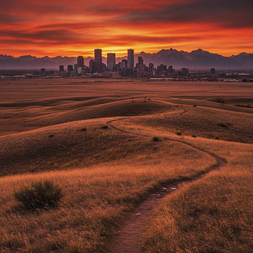
Understand that the 2013 flood inundated the Saddledome to the fourth row of seats and flooded 75,000 peoples homes and then the city held the Stampede two weeks later as a deliberate statement about who Calgary is, trace the 1.3 million population of a city that barely existed in 1875 through the oil booms that built downtown towers faster than any other Canadian city and the busts that emptied them equally fast, walk the International Avenue corridor where Pakistani and Ethiopian and Vietnamese and Somali restaurants occupy the same strip in a northeast quadrant that immigrant communities built from scratch, eat the finest Alberta beef in the Beltline on 17th Avenue where the densest urban neighborhood in the city is being rebuilt tower by tower, book Stampede accommodation 12 months in advance and a car for anything beyond the CTrain corridors, and drive the 90 minutes to Banff remembering that the railway came through here specifically because of the mountain pass and the city exists because of that routing decision.
- 1
Calgary Rapid Growth and Immigration
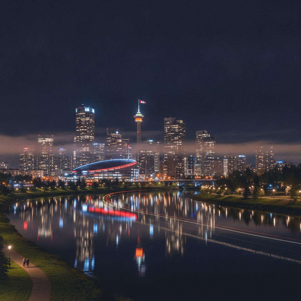
Calgary has been the fastest-growing major city in Canada since 2000, growing from approximately 900,000 people in 2000 to over 1.3 million by 2020, driven by migration from other provinces attracted by the booming oil economy and no provincial income tax, and by international immigration particularly from the Philippines, India, China, and sub-Saharan Africa. The Philippine-Canadian community in Calgary, one of the largest in Canada, has been a major component of the healthcare workforce. The Indian-Canadian community, concentrated in the northeast quadrant of the city, has produced significant commercial and professional populations. The rapid growth created chronic infrastructure pressure on roads, schools, and transit, with the LRT system consistently overstretched and road capacity failing to keep pace with suburban expansion. The suburban development pattern of Calgary, which expanded rapidly on greenfield sites in all directions, created one of the most car-dependent urban forms in Canada. The inner-city densification strategy adopted by the city in 2009 through the Municipal Development Plan has had partial success in directing growth toward existing communities rather than new suburbs, but suburban sprawl continues to be the dominant growth pattern. Calgary has more square footage of office space per capita than any other Canadian city because of the oil company headquarters clustered downtown.
- 2
Calgary University of Calgary and Research
The University of Calgary, established in 1966 as an affiliate of the University of Alberta before becoming independent, has grown to approximately 33,000 students and is a significant research institution with particular strengths in petroleum engineering, geophysics, environmental science, and medicine aligned to the Alberta economy. The Schulich School of Engineering has produced generations of petroleum engineers who built the oil sands industry and now lead energy transition research. The UCalgary Foothills Campus houses the medical school and clinical research programs in partnership with Alberta Health Services. The Hotchkiss Brain Institute at the university is one of the leading brain research centers in Canada. The Southern Alberta Institute of Technology and Mount Royal University provide applied technical education aligned to the trades and technology sectors of the Alberta economy. The University of Calgary Taylor Institute for Teaching and Learning, opened in 2016, is a nationally recognized hub for university teaching innovation. Calgary has been investing in post-secondary education as a diversification strategy to reduce dependence on the petroleum sector, with aspirations to develop a technology and innovation cluster comparable to the Waterloo tech corridor in Ontario.
- 3
Calgary Multicultural Neighborhoods and Food
The northeast quadrant of Calgary, particularly the communities of Forest Lawn, Rundle, Martindale, and the International Avenue corridor on 17th Avenue SE, has the highest concentration of immigrant and ethnic minority communities in the city, with dozens of cultural communities represented in community associations, religious institutions, and commercial strips. The International Avenue, designated as a cultural corridor by the city in 1997, contains restaurants and shops representing Pakistani, Indian, Vietnamese, Ethiopian, Somali, and numerous other culinary traditions along several kilometres of a former industrial commercial strip. The Global Food Hub project at the Calgary Farmers Market has attempted to create infrastructure for immigrant food entrepreneurs. The Chinatown in Calgary, on Centre Street North near downtown, is smaller than Vancouver or Toronto Chinatowns but retains Vietnamese, Chinese, and Southeast Asian restaurants and grocery stores. The Kingsland area on Macleod Trail South has a concentration of Indian and South Asian restaurants that rivals or exceeds the downtown restaurant density. Calgary has 25 percent of its population born outside Canada, one of the higher proportions in any Canadian city, and the ethnic composition is changing rapidly as migration sources shift from UK and European to South Asian, Filipino, and African origins.
- 4
Calgary Flood History and Resilience
The 2013 southern Alberta flood, the most expensive natural disaster in Canadian history at that point at approximately 6 billion dollars in damage, occurred when rapid snowmelt in the Rocky Mountains combined with heavy rainfall to fill the Bow and Elbow rivers beyond their capacity, inundating the Saddledome to the fourth row of seats, flooding the Stampede grounds days before the annual Stampede, forcing evacuation of 75,000 Calgary residents, and devastating the downstream communities of High River, Canmore, and numerous small towns. The flood occurred in June, just weeks before the 2013 Stampede. The city responded by holding the Stampede as scheduled, within 2 weeks of the flood, as a statement of civic resilience that drew international attention. High River was the most severely damaged community, with over 90 percent of the town flooded and years of reconstruction required. The provincial and city governments invested heavily in flood mitigation following 2013, with measures including the Springbank Dry Dam upstream on the Elbow River. The Bow River flooding within Calgary was contained partly by the river pathway berms and the contours of the East Village development. The 2013 flood is remembered as a defining moment in Calgary civic identity, with the Stampede response demonstrating a resilience ethic that the city has since incorporated into its municipal narrative.
- 5
Calgary Arts District and Beltline
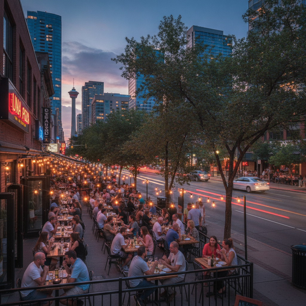
The Beltline, the dense residential and commercial neighborhood immediately south of downtown Calgary between 14th Street West and Macleod Trail, between the downtown and the communities of Mount Royal and Mission, is the most urban neighborhood in Calgary with the highest residential density, the most active street life, the highest concentration of restaurants and bars, and the most diverse demographic profile in the city. The Beltline has been undergoing rapid densification since 2010 through the demolition of older apartment and commercial buildings and their replacement with high-rise residential towers, creating a neighborhood in constant physical transformation while maintaining its character as the most cosmopolitan part of Calgary. The 17th Avenue SW commercial strip from 4th Street to 14th Street is the primary restaurant and shopping destination for Calgary urban residents, with a concentration of independent restaurants, wine bars, boutique clothing shops, and coffee roasters. Studio Bell at the National Music Centre on 4th Street SE anchors the cultural southern edge of the downtown. The Calgary Pride Parade, one of the largest in western Canada, runs through the Beltline each September. The Kensington neighborhood north of the Bow River is a similar inner-city commercial district with bookshops, cafes, and independent retail in two and three story brick buildings.
- 6
Calgary Practical Travel Guide
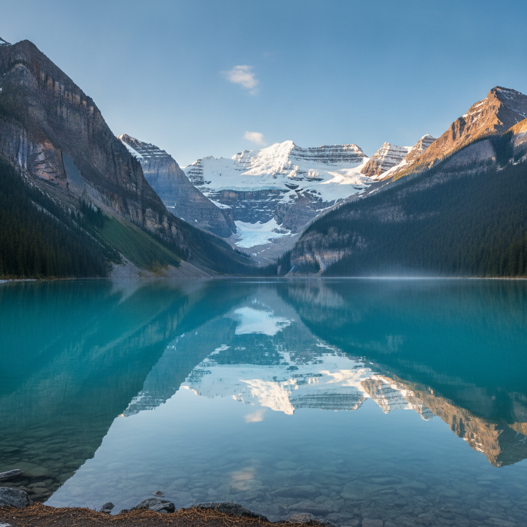
Calgary International Airport, the fourth busiest in Canada, is 17 kilometres northeast of downtown with taxi, shuttle, and LRT connections. The CTrain light rail network covers the north-south and east-west axes through downtown and is free within the downtown fare zone. The best travel times for Calgary are July for the Stampede, which requires accommodation bookings 6 to 12 months in advance, and September to October for comfortable outdoor touring before winter. Summer in Calgary averages 25 Celsius with low humidity. Winter visits, particularly February, offer dramatic chinook weather cycles. The Stampede period hotels charge significantly elevated rates. The Banff and Lake Louise mountain area is the primary day or weekend excursion from Calgary and should be treated as essential context for understanding why Calgary exists and why the Rocky Mountain landscape is within such easy reach. Car rental is strongly advised for any exploration beyond the downtown, as the suburban form of Calgary is poorly served by transit outside the CTrain corridors. The downtown Plus 15 network allows exploration of the inner city in winter comfort. Hotel options range from downtown towers to airport-adjacent properties; the inner-city neighborhoods of Inglewood and Kensington offer boutique accommodation within walking distance of independent restaurants.
Walk this route with audio
Stories play automatically as you reach each stop — no tapping needed.
More in Calgary
Calgary: The Wind That Raises Temperature 25 Degrees in One Hour, the Buffalo Jump Used for 5700 Years and the No-Tax Province That Explains Everything About Alberta Politics

Calgary: The Stampede That Calls Itself the Greatest Outdoor Show on Earth, the Boom-Bust City Built on Beef and Oil and the Rockies 90 Minutes Away
Calgary: The Museum With the Most Dinosaur Skeletons on Earth 130 Kilometres Away, the National Energy Program That Alberta Still Calls Theft and the Elk You Meet Inside the Town of Banff
Calgary: The Saddle-Shaped Arena That Is a Structural Engineering Record, the Glacier Marked With Its Own Retreat in Decade Intervals and the Most Successful Franchise in Canadian Football History
Calgary: The 110-Year-Old Indigenous Village at the Stampede That Is Simultaneously Cultural Celebration and Contested Display, the Wind-Powered Light Rail and the City Trying to Figure Out What Comes After Oil