Iguazu Geology, Hydrology, and the Science of the Falls
The Iguazu Falls are the result of a geological and hydrological process that began approximately 132 million years ago with the formation of the vast basalt lava flows of the Parana Plateau, which were subsequently carved by the Iguazu River over millions of years into the horseshoe-shaped canyon system that now creates the falls. Understanding the geology and hydrology of the system illuminates why the falls have their particular form, why they change so dramatically with seasons and floods, and how the entire ecosystem of the national parks depends on the specific conditions created by the water.
- 1
Parana Plateau Basalts: The Geological Foundation of the Falls
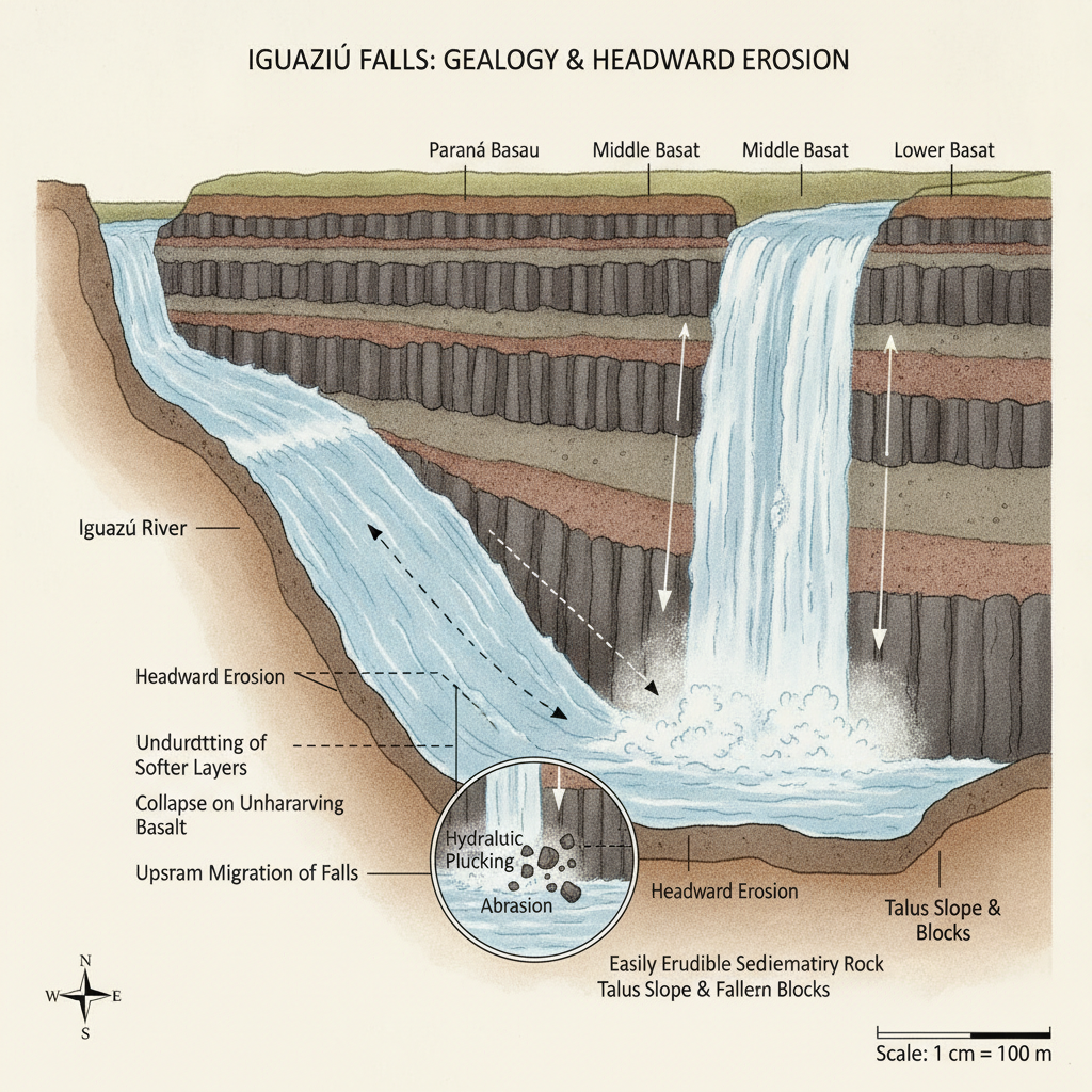
The Iguazu Falls rest on the Parana Plateau, a vast region of basaltic rock extending across southern Brazil, eastern Paraguay, and northeastern Argentina that was formed by one of the largest volcanic events in Earth history: the eruption of the Parana-Etendeka large igneous province approximately 132 million years ago, which produced basalt flows reaching depths of up to 1,700 meters in some areas. The basalt of the Parana Plateau is structurally jointed, meaning it tends to fracture along regular planes of weakness that the Iguazu River exploits in its downstream erosion; this jointing pattern determines where new cataracts form and how the overall horseshoe shape of the falls system evolves over geological time. The Iguazu River originates near Curitiba in the Serra do Mar mountains of southern Brazil and flows generally westward for approximately 1,320 kilometers before joining the Parana River; the falls occur approximately 23 kilometers upstream from the Iguazu-Parana confluence at a point where the river crosses from softer sedimentary rocks onto the resistant basalt of the plateau edge. The current position of the falls is not their original position: the falls have migrated approximately 23 kilometers upstream from the Parana River confluence over the past 10,000 years through a process of headward erosion in which the rock at the lip of the falls is continuously undermined by the hydraulic action of the water and collapses, moving the falls location progressively upstream. This erosion continues today, though at a rate too slow to be perceptible in a human lifetime.
- 2
Hydrology: Flow, Seasons, and the Rhythm of the River
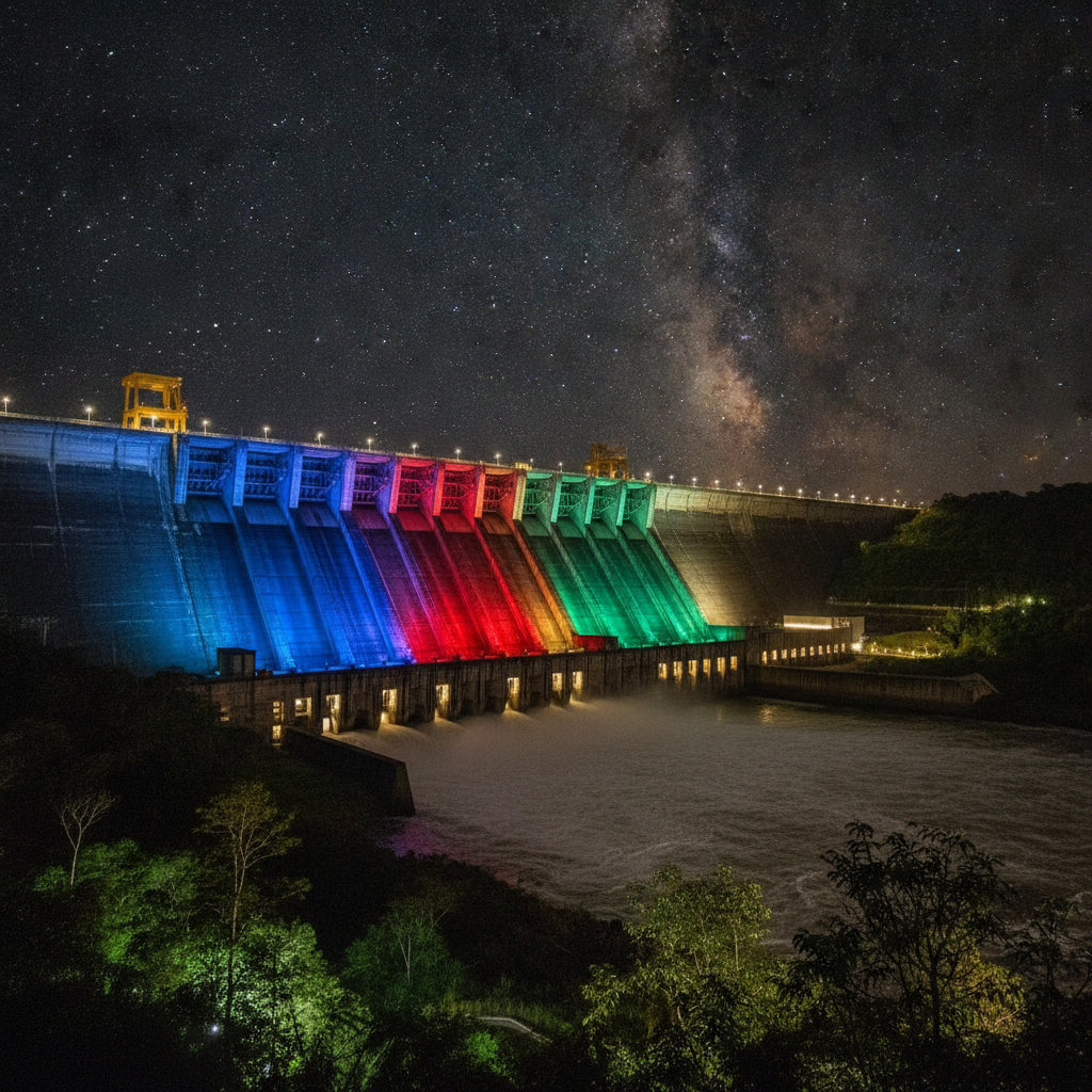
The hydrology of the Iguazu system is characterized by extreme variability between low and high water conditions that transforms the visual character of the falls and the visitor experience across different seasons and years. The average flow of 1,746 cubic meters per second supports a falls of considerable volume and power, but this figure encompasses an enormous range from minimum dry-season flows of approximately 300 cubic meters per second to maximum flood flows exceeding 50,000 cubic meters per second recorded during exceptional rainfall events in the upper catchment. During low water periods, particularly in August and September at the end of the dry season, many of the smaller cataracts of the Iguazu system dry up entirely and the river bottom between the remaining active falls becomes visible; the exposed basalt of the dry streambeds gives an insight into the geological structure of the falls that is impossible to perceive when the system is in full flood. During high water periods, particularly in spring after heavy rainfall in the Brazilian catchment, the falls merge into a single continuous wall of water and the distinction between individual cataracts disappears; the spray rises to heights that obscure the cliff faces and the platforms closest to the falls become inaccessible due to the volume of mist. The Itaipu Dam upstream in Brazil regulates some of the flow variation of the Iguazu system, but the unregulated tributary streams that join the Iguazu below the dam continue to create significant seasonal variation at the falls.
- 3
Atlantic Forest Ecology: The Living System Around the Falls
The national parks on both sides of Iguazu Falls protect fragments of the Upper Parana Atlantic Forest, a distinct forest type within the Atlantic Forest biome that historically extended along the Atlantic coast of South America and into the interior river valleys of southern Brazil, eastern Paraguay, and northeastern Argentina. The Atlantic Forest is the second most biodiverse tropical forest system on Earth after the Amazon, but it has been reduced to less than 12 percent of its original extent by agricultural clearing, primarily for soybean and sugarcane cultivation in Brazil; the Iguazu national parks represent one of the largest remaining connected forest fragments and are consequently of extraordinary conservation significance. The falls themselves create a unique ecological gradient within the forest: the spray zone maintains permanently saturated conditions that support ferns, mosses, and specialized vascular plants adapted to continuous moisture, while the surrounding forest operates on a more typical seasonal moisture regime. The river corridor through the park provides habitat for wildlife that moves between the Argentine and Brazilian sides of the falls, creating an effectively binational conservation area even though the two parks are administered separately by different national governments with different management philosophies. The interconnection between the aquatic and terrestrial ecosystems at Iguazu, mediated by the falls and the spray, makes the site a particularly instructive example of how rivers shape the ecosystems they flow through.
- 4
Formation Theories: How the Falls Acquired Their Shape
The specific horseshoe shape of the Iguazu Falls, with the largest concentration of cataracts in the Devil's Throat section and the individual falls arranged in a curved formation facing the Argentine bank, is the result of the intersection of the geological joint patterns in the basalt with the drainage direction of the Iguazu River as it makes a slight turn before reaching the falls. The river approaches the falls from a generally westward direction and encounters a zone where the basalt joints run roughly perpendicular to the river, creating a series of parallel fractures along which the rock preferentially erodes to form the individual cataracts rather than a single uniform waterfall. The San Martin Island, which sits at approximately the center of the falls, represents a more resistant block of basalt that has not yet been eroded to the level of the surrounding cataracts; over geological time, the continued headward erosion of the falls on either side of the island will eventually erode around and through it. The future trajectory of the falls is toward continued upstream migration and possible eventual splitting of the system into two separate falls as different sections erode at different rates; this geological future is not a human-timescale concern but illustrates the dynamic rather than static nature of the falls as a geological feature. The comparison with other major falls systems including Niagara, Victoria, and Kaieteur illuminates how different combinations of geology, water volume, and river gradient produce dramatically different fall morphologies despite similar underlying processes of fluvial erosion.
- 5
Swifts Behind the Falls: A Unique Animal Adaptation
The great dusky swift, a colonial bird species that nests exclusively behind active waterfalls in South America, has developed one of the most specialized habitat relationships in the avian world: breeding colonies of these swifts attach their nests made of moss and saliva to the basalt cliff faces within the spray zone of the falls, passing through the falling water curtain at high speed to access their nests in cavities on the wet rock. The Iguazu falls system supports one of the largest known breeding colonies of great dusky swifts, with estimates of several thousand breeding pairs distributed across multiple sites within the active cataracts; the birds are visible throughout the day in large flocks wheeling through the spray zones and performing the rapid entry and exit flights through the water that require precise aerodynamic control. The swifts feed on aerial insects caught during long foraging flights away from the falls, returning to the nest sites to feed their chicks at intervals throughout the day; the feeding flights take the birds well beyond the park boundaries into the surrounding agricultural landscape, making the conservation status of the broader region significant for the swift population. The adaptation to nesting behind active waterfalls provides the birds with predator protection, as few mammalian or avian predators can navigate the water curtains, but makes the nesting sites vulnerable to extreme flood events that can destroy established colonies. The swifts at Iguazu are best observed from the lower circuit walkways on the Argentine side, where the birds pass within meters of the observation platforms in their entry and exit flights through the cataracts.
- 6
Climate, Best Seasons, and the Weather Patterns of the Iguazu Region
The climate of the Iguazu region is subtropical humid, with no true dry season but with a pronounced seasonal variation in rainfall that strongly influences both the volume and character of the falls and the comfort of the visitor experience. Rainfall is distributed throughout the year with peaks in spring and autumn related to the advance and retreat of the South Atlantic Convergence Zone, a band of convective activity that brings heavy rainfall to southeastern South America during its seasonal migration. The summer months of December to February are the hottest and most humid, with temperatures regularly exceeding 35 degrees Celsius and afternoon thunderstorms that can make outdoor activity uncomfortable; the falls are typically at or near peak volume during this period due to the accumulated rainfall in the catchment, and the experience of the falls is overwhelming but physically demanding. The winter months of June and August are cooler with temperatures between 15 and 25 degrees Celsius during the day, lower humidity, and the clearest skies for photography; the water volume may be lower than in summer but the experience is more physically comfortable and the light quality for photography is generally better. The ideal balance of comfortable temperatures, manageable humidity, good water volume, and reasonable visitor numbers occurs in the shoulder seasons of April to May and September to October; these months are increasingly popular with experienced travelers who prioritize the quality of the experience over the coincidence of peak water levels.
Walk this route with audio
Stories play automatically as you reach each stop — no tapping needed.
More in Iguazu
Iguazu Falls: Devil's Throat, Upper and Lower Circuits, and the Three-Country Border
Iguazu Practical Guide: Getting There, Accommodation, Costs, and Planning Your Visit
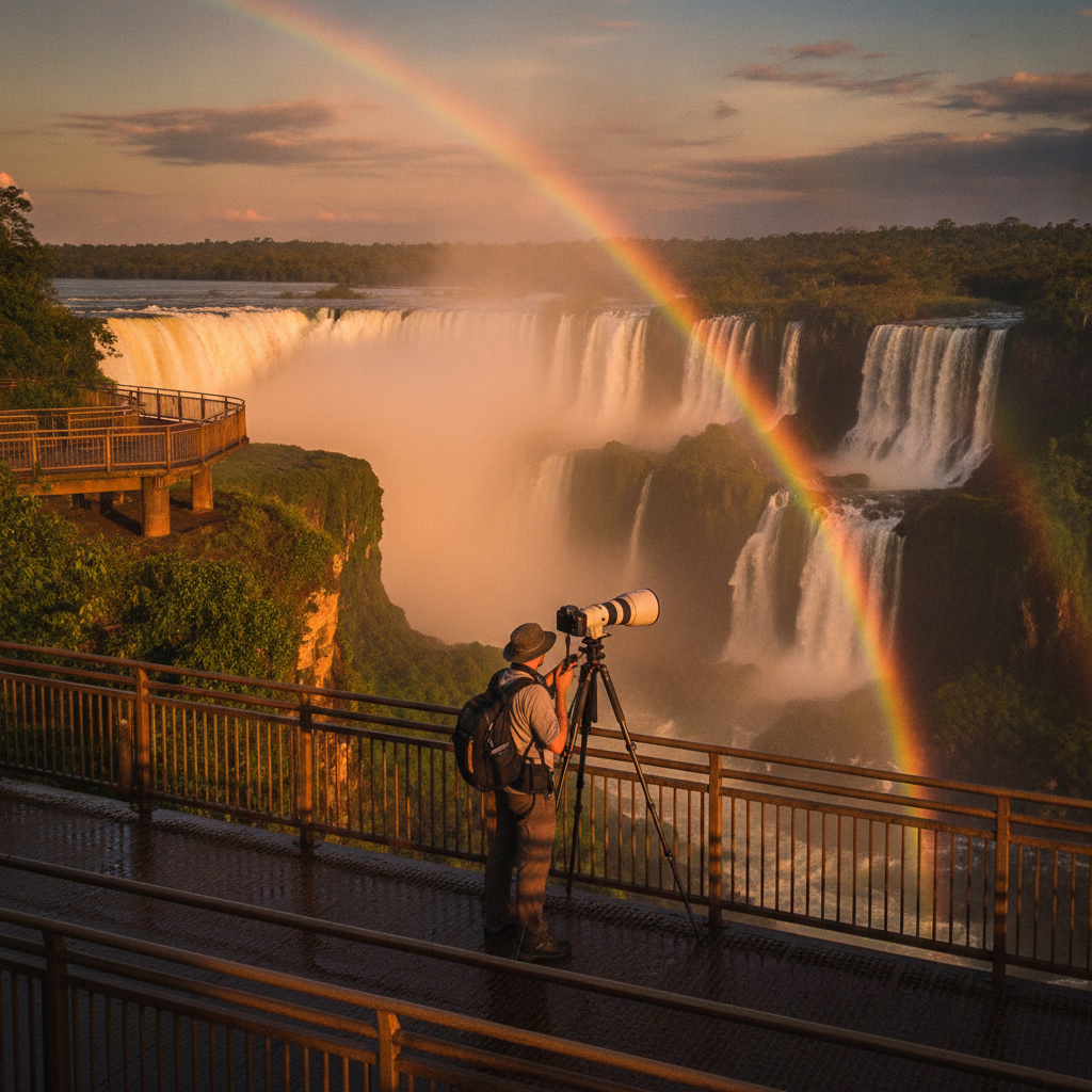
Iguazu Photography Guide: Best Viewpoints, Light, and Technical Tips
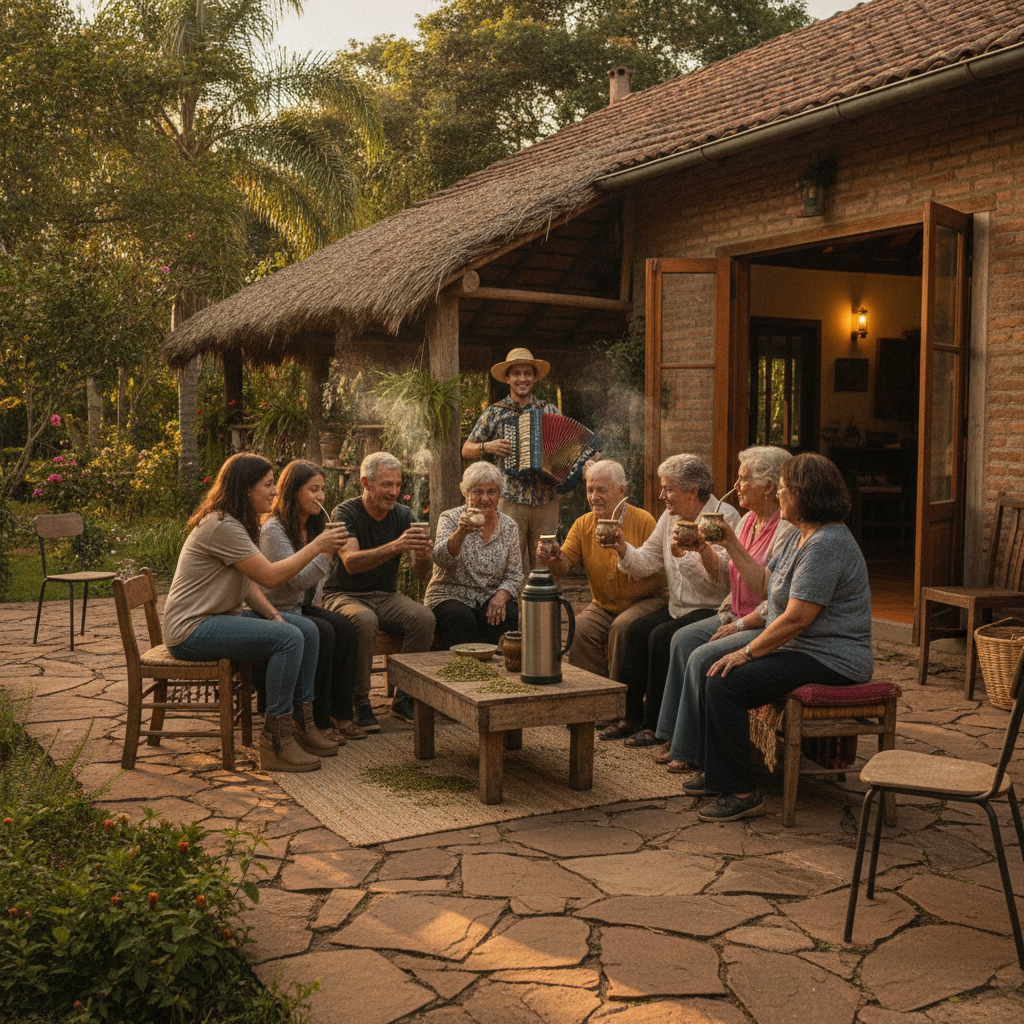
Iguazu Food, Culture, and the Guarani Heritage of Misiones Province
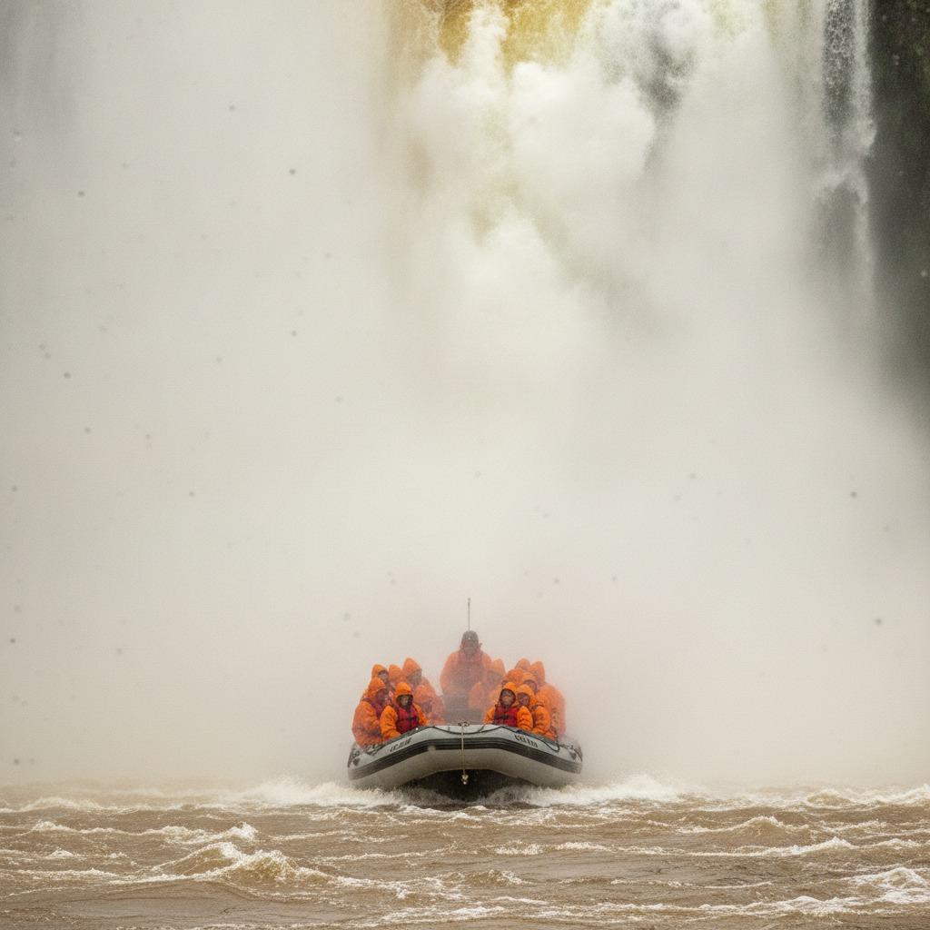
Iguazu Adventure Activities: Boat Rides, Jungle Trails, Rappelling, and Helicopter Flights