Iguazu History: Guarani Stewardship, European Discovery, and the Creation of the National Parks
The history of the Iguazu Falls region spans from the pre-Columbian Guarani people who knew the falls as Yguazu, meaning great water, through the Spanish colonial encounter in the 16th century, the period of Jesuit mission civilization in the 17th and 18th centuries, the post-independence territorial disputes between Argentina and Brazil, and the 20th century creation of national parks on both sides that now protect the falls and the surrounding Atlantic Forest.
- 1
Guarani Origins: Yguazu and the Pre-Columbian Landscape
The Guarani people inhabited the river valleys and forests of what is now southern Brazil, eastern Paraguay, and northeastern Argentina for thousands of years before European contact, and the falls of the Iguazu River were a significant landmark within their territorial world known by the name Yguazu, composed of the Guarani words for water and great. The Guarani did not settle immediately adjacent to the falls due to the impracticality of the spray-saturated environment for agriculture, but the river above and below the falls was an important fishing ground and transportation corridor, and the falls themselves were embedded in the Guarani cosmological and spiritual landscape as a place of power. The Guarani oral tradition includes the story of the origin of the falls involving the god Mboi, a serpent deity who in anger at a Guarani warrior and his love plunged into the earth creating the canyon and the falls; this origin story reflects the spiritual significance of the site within Guarani religious thought. The Guarani language name Yguazu, preserved in both the Spanish Iguazu and the Portuguese Iguacu, is one of many instances in South America where the indigenous toponym survived colonial renaming because the Spanish and Portuguese administrators simply adopted the local name for a landmark they could not easily ignore. The contemporary Guarani communities of the region, including the Mbya Guarani whose traditional territories overlap with parts of the national park areas on both sides of the border, maintain a cultural connection to the falls that is increasingly recognized in the management of the protected areas.
- 2
Spanish Discovery: Alvar Nunez Cabeza de Vaca and the 1541 Encounter
The first recorded European encounter with the Iguazu Falls occurred in 1541 when the Spanish explorer Alvar Nunez Cabeza de Vaca, traveling overland from the Brazilian coast toward Asuncion at the head of an expedition of 250 Spaniards and several hundred indigenous allies, was guided to the falls by his Guarani escorts and became the first European to describe the site in writing. Cabeza de Vaca's account of the falls, included in his memoir Naufragios y Comentarios published in 1542, described the falls as a terrible leap of water and noted that the noise was audible from several leagues distance; his description is recognizable as the same falls that tourists visit today despite the intervening five centuries. The Spanish colonial presence in the region was primarily mediated through the Jesuit missions rather than direct settlement, and the falls themselves remained outside the zone of intensive colonial development because they offered no practical advantage for the agricultural and pastoral economy of the missions. The Portuguese approach to the falls from the Brazilian side was similarly indirect: the interior of southern Brazil was not systematically explored or settled until the 18th and 19th centuries, and the falls were known primarily through indigenous guides rather than through systematic European documentation. The rediscovery of the falls by Argentine explorer Edilberto Higinio Zara in 1897, after a period during which the precise location of the falls had been partially forgotten by non-indigenous cartographers, is often cited as the beginning of the modern tourist era of the falls.
- 3
Jesuit Missions and the Colonial Guarani World Near Iguazu
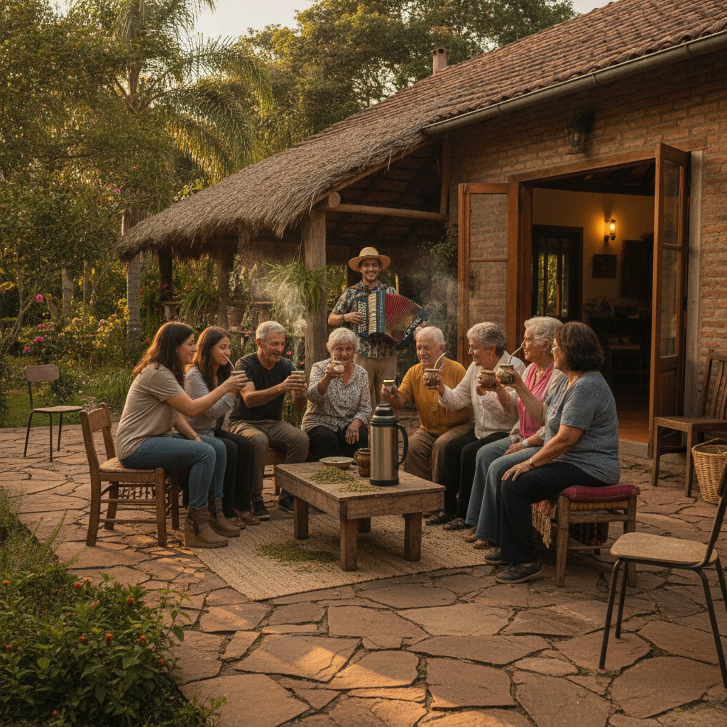
The Jesuit reductions of the upper Parana region, which constituted the most elaborate and sustained experiment in Christian indigenous governance in South America from the early 17th century until the expulsion of the Jesuits in 1767, occupied the river valleys and forests surrounding the Iguazu Falls and created a complex civilization of mission towns that combined European Baroque architecture and music with Guarani agricultural techniques and social organization. The missions of the upper Parana, of which the most intact surviving examples are Trinidad and Jesus in Paraguay and San Ignacio Mini in Argentina, were organized around central plazas with large stone churches, workshops, schools, and residences, and at their peak housed populations of several thousand Guarani converts each. The mission economy was based on the cultivation of yerba mate, the caffeinated beverage made from the dried leaves of a tree native to the region, cotton, and food crops; the missions exported yerba mate to markets throughout South America and used the revenue to finance their construction programs and to pay the colonial tribute. The falls themselves were within the territory of the missions but were not a focus of Jesuit attention; the river above the falls served as a transportation corridor between mission towns, and the Jesuits used the river for the canoe transport of goods that was more practical than overland movement through the forest. The expulsion of the Jesuits in 1767 led to the rapid collapse of the mission civilization, with Guarani populations dispersing into the forest or being absorbed into the colonial economy as laborers; the stone ruins of the missions were subsequently reclaimed by the forest and rediscovered by archaeologists in the 19th and 20th centuries.
- 4
National Park Creation: Argentina 1934 and Brazil 1939
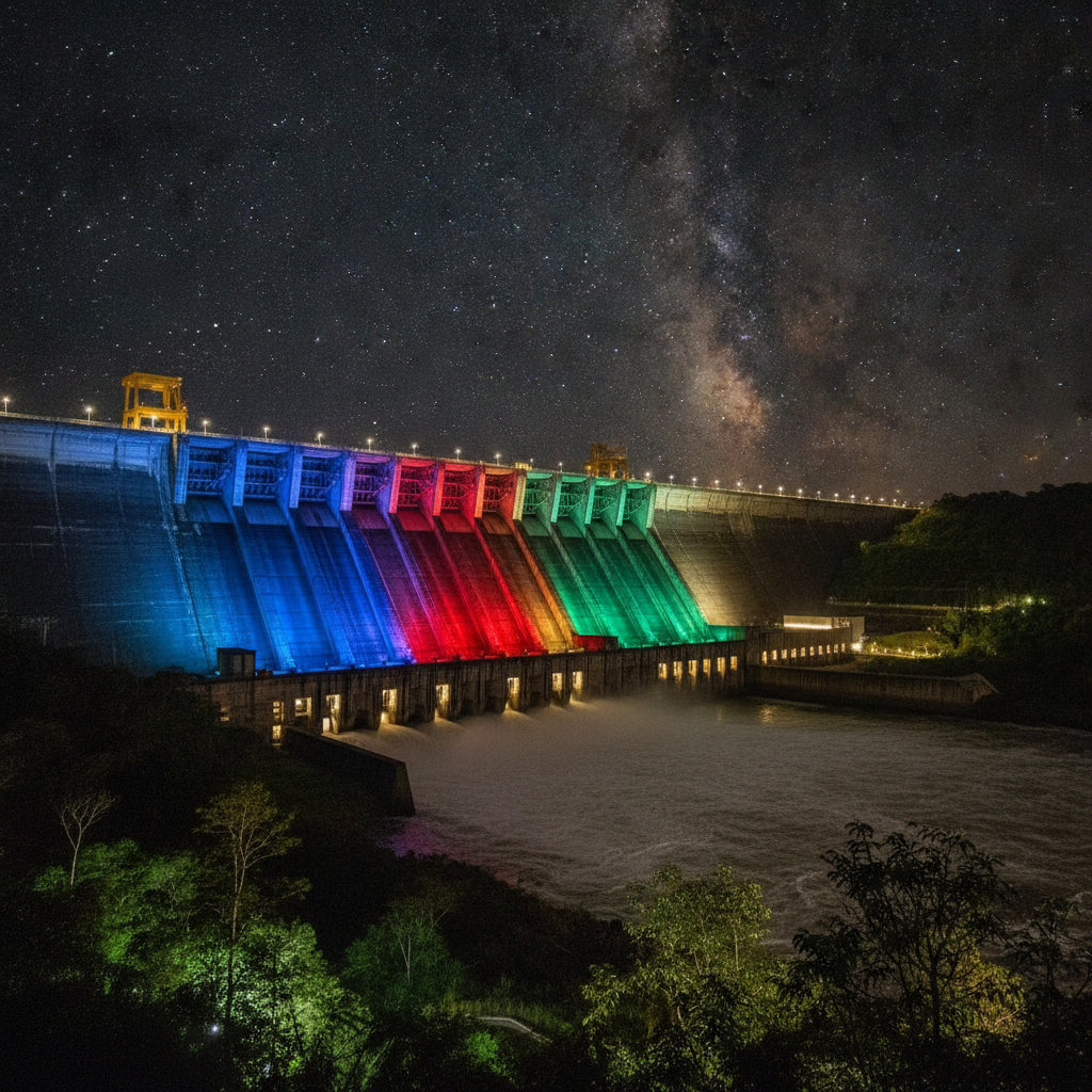
The creation of Iguazu National Park on the Argentine side in 1934 and Iguaco National Park on the Brazilian side in 1939 reflected the convergent recognition by both national governments of the international significance of the falls and the need to protect them from uncontrolled development and the encroachment of agriculture into the surrounding forest. The Argentine park was established under President Agustin Pedro Justo as part of a broader national parks movement influenced by the North American model of Yellowstone and Yosemite; the first park director, Alejandro Bustillo, also designed the Llao Llao Hotel in Bariloche and approached the Iguazu facilities with the same philosophy of blending rustic architecture with spectacular natural settings. The early development of tourist infrastructure in the Argentine park was modest by contemporary standards but established the basic framework of walkways and viewing platforms that has been expanded and rebuilt multiple times in the subsequent decades. The Brazilian park was created under President Getulio Vargas as part of the Estado Novo government's program of national resource management; tourism development on the Brazilian side lagged behind the Argentine side for several decades due to the greater difficulty of access from Brazilian population centers. The dual national park status of the falls was recognized by UNESCO in 1984 and 1986 when the Argentine and Brazilian parks were respectively inscribed as World Heritage Sites; the sequential inscriptions reflected the administrative separateness of the two countries despite the physical unity of the falls system. The creation of the Itaipu binational hydroelectric dam from 1975 to 1984, which flooded the Guaira Falls upstream on the Parana River that had been the largest waterfalls by volume in the world, intensified the conservation significance of the Iguazu falls as the surviving great waterfall system of the region.
- 5
Tourism History: From Remote Wonder to Global Destination
The transformation of Iguazu Falls from a remote and difficult-to-access natural wonder into one of the most visited tourist destinations in South America occurred gradually through the 20th century as transportation infrastructure improved on both sides of the border. The Cataratas Hotel, built in 1934 within the Argentine national park immediately adjacent to the falls, was the primary accommodation for the first generation of tourist visitors who accessed the falls by river steamer from Corrientes or by train to the nearest rail station followed by overland travel; the journey from Buenos Aires took several days in each direction and was accessible only to wealthy travelers. The construction of paved roads connecting Puerto Iguazu and Foz do Iguazu to the main highway networks of Argentina and Brazil in the 1950s and 1960s democratized access to the falls and began the transition from elite to mass tourism. The opening of airport facilities in Puerto Iguazu and Foz do Iguazu made the falls accessible for short-stay international visitors who could combine Iguazu with Buenos Aires or Rio de Janeiro in a week-long itinerary, and this pattern became the dominant mode of international tourism to the falls from the 1970s onward. The falls were named one of the Seven Natural Wonders of the World in a New Open World Corporation competition in 2011, which significantly increased international awareness of the site and contributed to a sustained increase in visitor numbers that now exceed 1.5 million annually on the Argentine side alone.
- 6
Contemporary Issues: Conservation, Overtourism, and the Itaipu Dam
The contemporary management of Iguazu Falls as a protected natural area faces the characteristic tension between the conservation mission of the national parks and the economic dependence of the surrounding communities on the tourism revenue generated by the falls. The volume of visitors, exceeding 1.5 million per year on the Argentine side and similar numbers on the Brazilian side, creates physical pressure on the walkways and viewing platforms, noise and disturbance in the wildlife habitats, and the logistical challenge of managing large crowds in a limited physical space. The Argentine national park has responded by implementing timed entry systems for the Devil's Throat walkway during peak periods and by maintaining limits on the total daily visitor numbers; the Brazilian park has invested in a bus transit system that reduces vehicle traffic within the park. The Itaipu hydroelectric dam, whose reservoir covers the area upstream from the falls and whose operational water releases affect the Iguazu River flow, represents an ongoing point of negotiation between the conservation interests of the national parks and the economic and energy interests of Brazil and Paraguay as Itaipu owners. The encroachment of soybean agriculture on the Atlantic Forest surrounding the national park buffers represents the most serious long-term conservation threat, as the isolation of the park in an agricultural matrix reduces the genetic connectivity of wildlife populations and increases edge effects that degrade forest quality. The ongoing negotiation between these competing interests reflects the difficulty of managing a world heritage site that is simultaneously a conservation priority, a major economic asset, and a living community of human inhabitants.
Walk this route with audio
Stories play automatically as you reach each stop — no tapping needed.
More in Iguazu
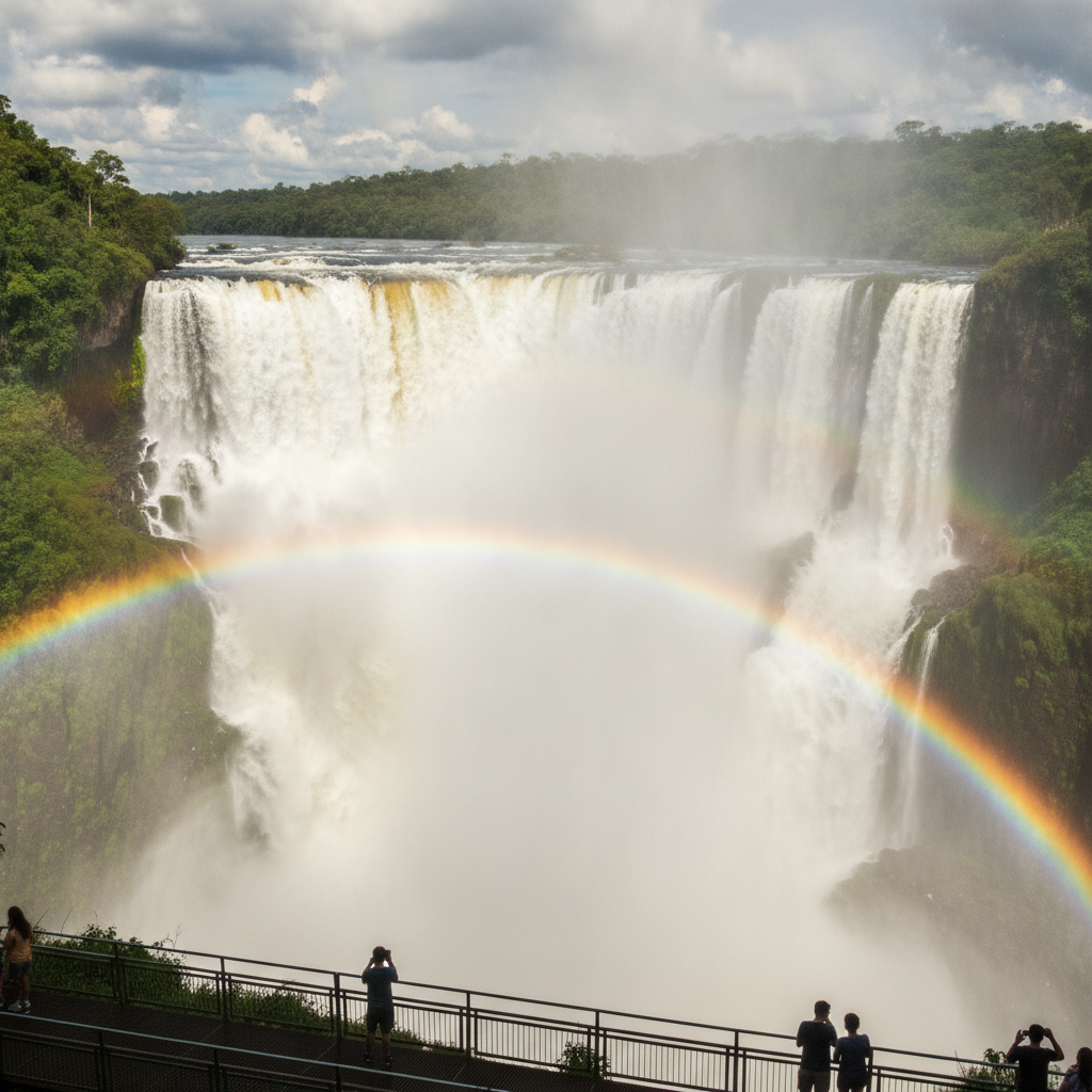
Iguazu Falls: Devil's Throat, Upper and Lower Circuits, and the Three-Country Border
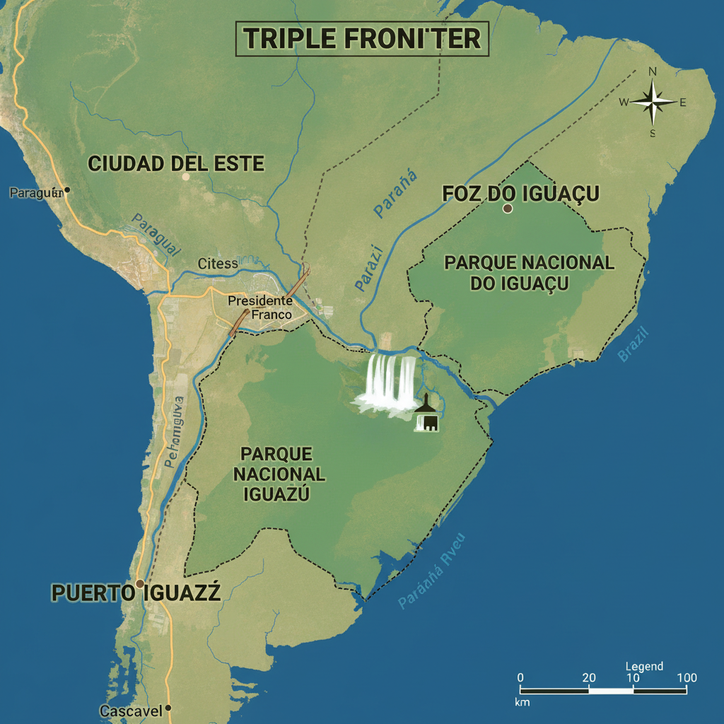
Iguazu Practical Guide: Getting There, Accommodation, Costs, and Planning Your Visit
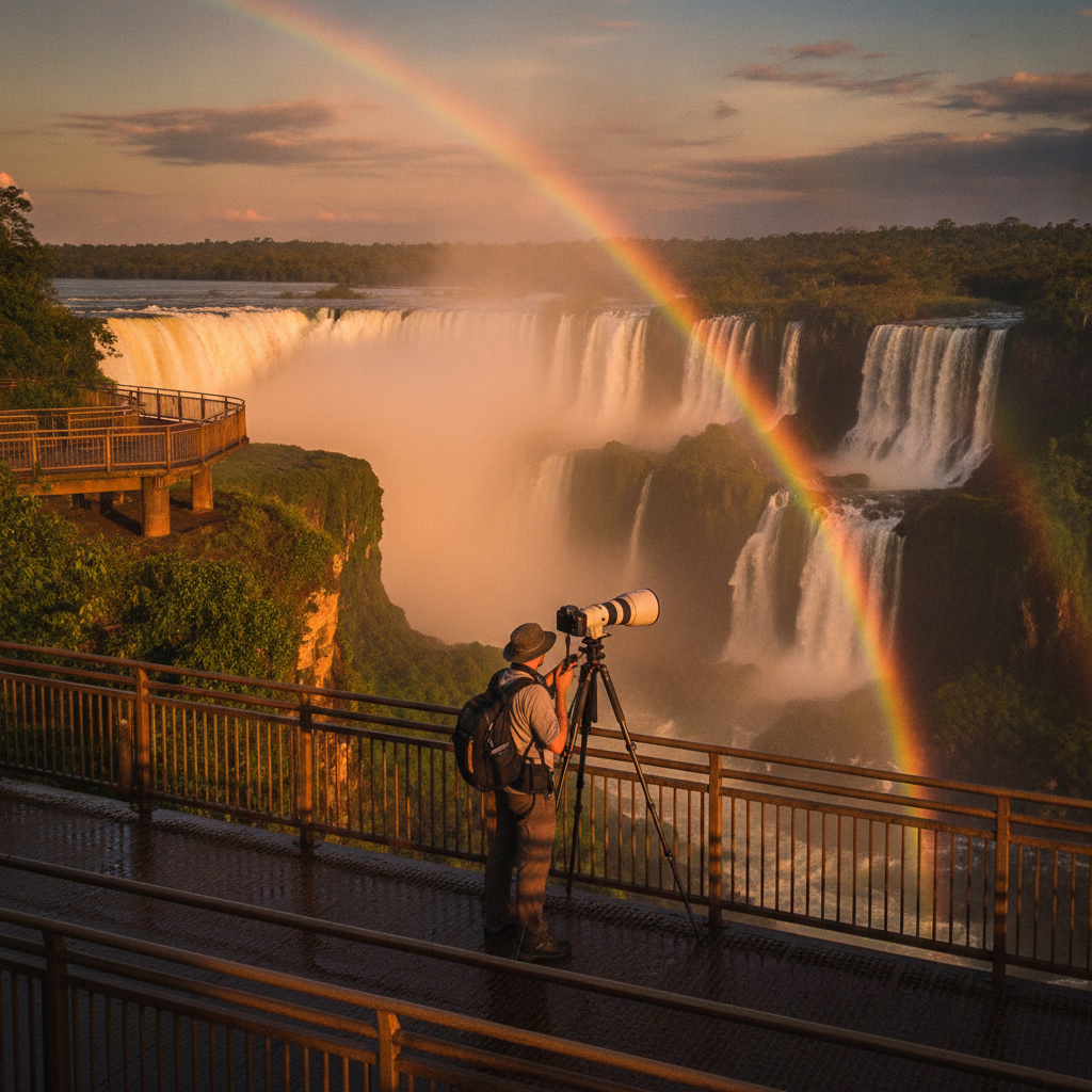
Iguazu Photography Guide: Best Viewpoints, Light, and Technical Tips
Iguazu Food, Culture, and the Guarani Heritage of Misiones Province
Iguazu Adventure Activities: Boat Rides, Jungle Trails, Rappelling, and Helicopter Flights