Cape Borda to Cape Forbin Lighthouse Walk
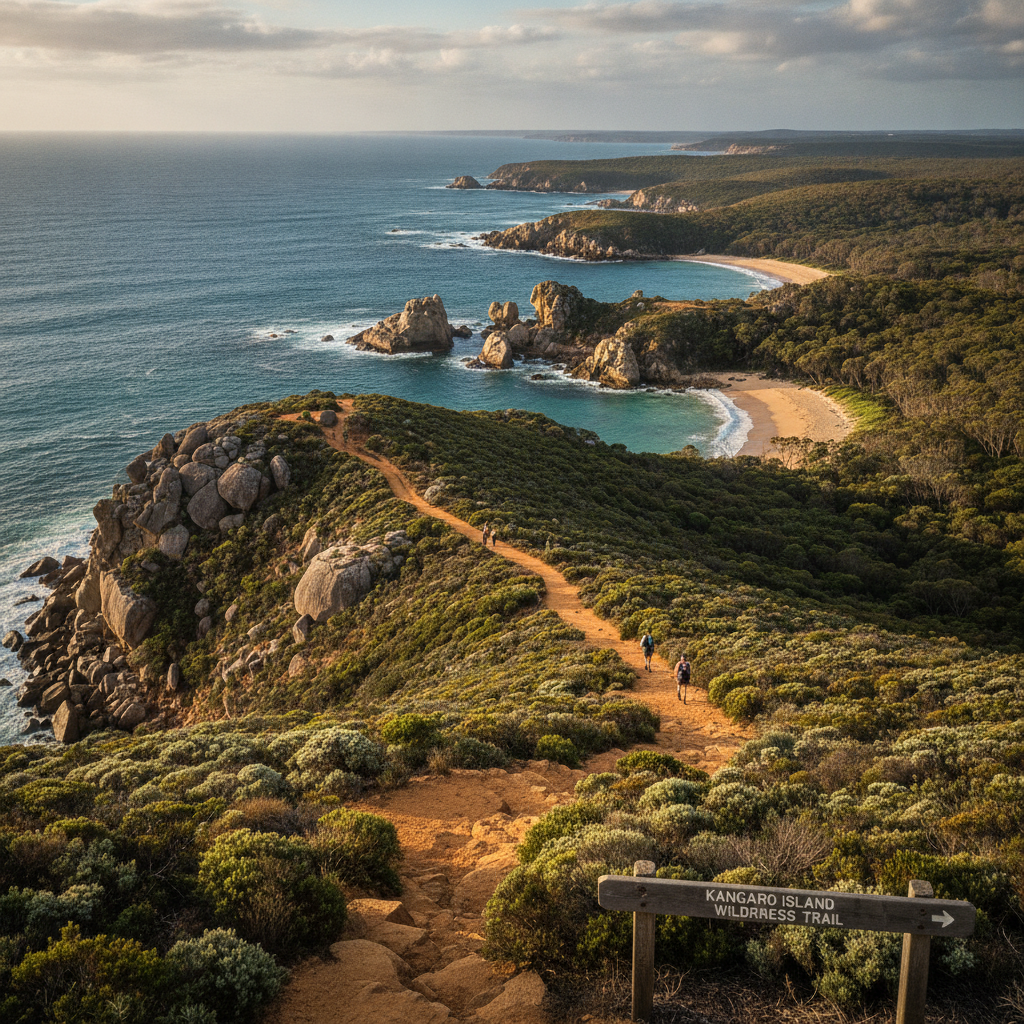
Explore the remote northwest tip of Kangaroo Island — Cape Borda's 1858 cannon-firing lighthouse, the rugged Ravine des Casoars Wilderness Protection Area, and the coastline where French explorers first mapped the island in 1802.
- 1
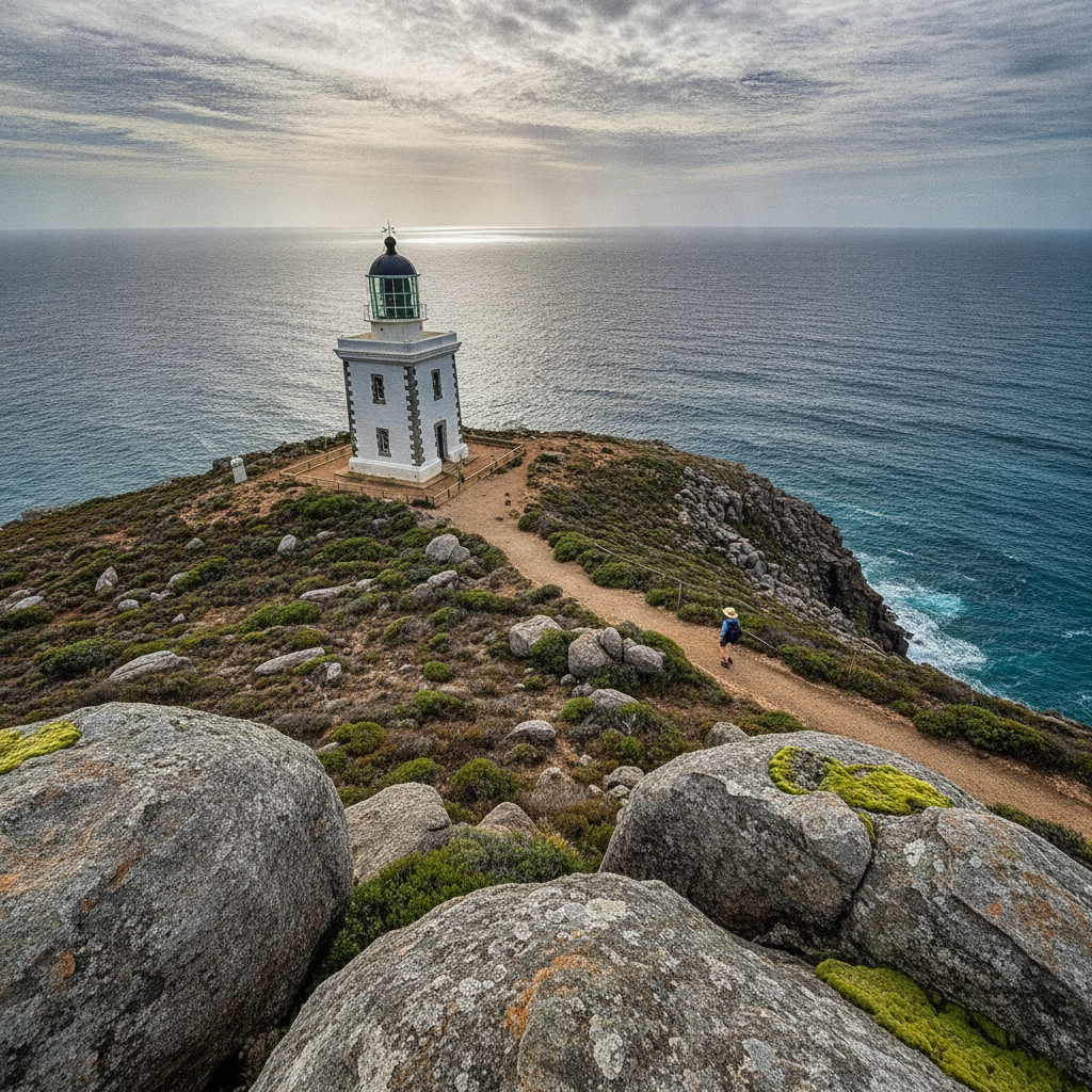
Cape Borda Lighthouse
Cape Borda Lighthouse has fired a cannon at noon every day since 1858 — the tradition started to help passing sailors set their clocks, and the cannon firing continues as one of Australia's most unusual lighthouse traditions at one of its most remote stations.
- 2
Ravine des Casoars Wilderness
Ravine des Casoars is named by French explorers for the cassowary-like emus they saw in the gorge in 1803 — the wilderness protection area is one of KI's most pristine, with steep creek gorges through mallee and heath accessible only on foot.
- 3
Cape Forbin Lookout
Cape Forbin provides panoramic views across the Investigator Strait to the Yorke Peninsula — the remote lookout at the island's northwestern corner is accessible via a walking track through coastal mallee from Cape Borda.
- 4
Breakneck River Walk
Breakneck River cuts through the western Flinders Chase in a steep gorge — the river walk through the gorge is one of Kangaroo Island's most challenging and rewarding, requiring creek crossings and scrambling over rock shelves.
- 5
Harvey's Return Campground
Harvey's Return on the north coast of the Cape Borda peninsula is an isolated campground — the sheltered bay below the cliffs is one of the best spots on the island for Southern Right Whale watching from June to October as whales enter Investigator Strait.
- 6
Scott Cove Historic Whaling Station
Scott Cove was an early 19th century whaling station — the remnants in the coastal scrub document the first industry to exploit Kangaroo Island's waters, when American whalers used the island as a base for the southern Pacific whale fishery.
Walk this route with audio
Stories play automatically as you reach each stop — no tapping needed.