Kauai: The Trail Where a Leper Killed Soldiers, Seals on Poipu Beach and the Wettest Place on Earth
Hike the Kalalau Trail 11 miles along 4000-foot Na Pali sea cliffs to Kalalau Valley where a fugitive farmer hid from soldiers for two years in the 1890s, look into the 3000-foot deep Waimea Canyon above cloud forest where 450 inches of rain fall annually on the summit of Waialeale, see the largest wetland taro cultivation in the US in Hanalei Valley backed by fluted Na Pali ridges, share Poipu Beach with endangered Hawaiian monk seals resting within 150 feet, boat the sacred Wailua River to the Fern Grotto cave draped in maidenhair ferns, and watch nesting frigatebirds and spinner dolphins from Kilauea Lighthouse cliffs.
- 1
Kalalau Trail and Na Pali Wilderness
The Kalalau Trail along the Na Pali Coast on Kauai north shore, the only overland access to the 16-mile Na Pali coastline, runs 11 miles one way from Ke e Beach at the end of Highway 560 to Kalalau Valley, climbing over sea cliffs rising 4,000 feet and crossing five major valleys. The trail requires a state camping permit and the full round trip of 22 miles is considered one of the most challenging and rewarding coastal hikes in the United States. The Hanakapi ai Beach at mile 2, accessible on a day hike without a permit, is famous for powerful winter waves that kill swimmers every year; a rock sign at the trailhead tally board marks the drowning count. The interior of Kalalau Valley, accessible only by this trail or by boat, was home to a fugitive taro farmer named Ko olau the Leper who hid from authorities for two years in the 1890s and killed soldiers sent to capture him.
- 2
Waimea Canyon and Kokee State Park
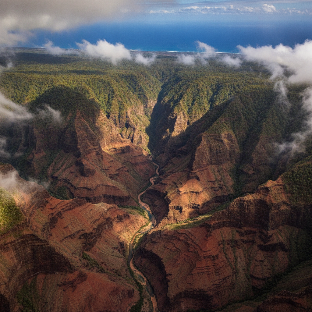
Waimea Canyon, a 14-mile-long, 3,000-foot-deep gorge carved by the Waimea River on the southwest side of Kauai, is called the Grand Canyon of the Pacific, a comparison first made by Mark Twain, though his visit to Kauai predated the canyon overlooks being developed. The canyon walls expose a sequence of basalt lava flows from the shield volcano construction of Kauai over 5 million years, cut by subsequent erosion along fault lines. Kokee State Park above the canyon rim at 3,200 to 4,200 feet elevation receives 50 to 60 inches of rain annually and hosts a cloud forest of native ohia, koa, and rare Hawaiian plants. The Alaka i Swamp Trail through the Alaka i Wilderness Preserve at 4,000 feet crosses the wettest place on earth, the summit of Mount Waialeale, which receives an average of 450 inches of rain annually.
- 3
Hanalei Valley and North Shore Taro
Hanalei Valley on the north shore of Kauai, a flat-floored alluvial valley backed by fluted Na Pali ridges and crossed by the Hanalei River, contains the largest area of wetland taro cultivation in the United States, sustaining the Native Hawaiian practice of poi production in paddies maintained by farmers within the Hanalei National Wildlife Refuge. Taro, the starchy root crop central to Hawaiian culture and mythology as the elder sibling of the Hawaiian people in creation stories, is pounded and fermented to produce poi, the traditional Hawaiian staple. The Hanalei Bay semicircle of beach is consistently rated among the most beautiful bays in the world. The one-lane historic bridges on the road from Princeville to Hanalei limit vehicle size and maintain the north shore character by preventing tour bus access. The Hanalei Pier in the bay has appeared in multiple films.
- 4
Poipu Beach and South Shore
Poipu on the south shore of Kauai, sheltered from the winter swells that affect the north shore, has the most consistently sunny weather on the island and the most resort infrastructure. The Poipu Beach County Park offers swimming, snorkeling, and the unusual experience of sharing the beach with Hawaiian monk seals, one of the most endangered marine mammals in the world, which haul out on the sand to rest and cannot be approached within 150 feet under federal law. The Spouting Horn blowhole at Poipu, a lava tube through which waves surge and erupt in a spout reaching 50 feet, is the most visited attraction on the south shore. The Allerton Garden and McBryde Garden at the National Tropical Botanical Garden below Poipu are research and display gardens in a valley accessible only on guided tours, containing rare Hawaiian plants and a dramatic banyan fig forest used in the filming of Jurassic Park.
- 5
Wailua River and Interior Kauai
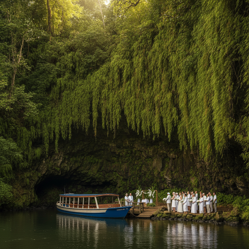
The Wailua River in central Kauai, the only navigable river in Hawaii, flows from Mount Waialeale to the east coast and was sacred to ancient Hawaiians as the birthplace of chiefs and a royal corridor lined with heiau temples. The Fern Grotto, a large lava rock cave draped with maidenhair ferns fed by the wet walls, is accessible by riverboat tour and has been a wedding destination since the 1940s. The Sleeping Giant ridge above Wailua, a basalt ridgeline resembling a supine figure, has trails from both east and west ends to the summit with views across the island. The Opaekaa Falls overlook on Kuamoo Road provides the most accessible waterfall view on Kauai. The Kamokila Hawaiian Village on the Wailua River, a reconstructed ancient Hawaiian settlement, provides cultural interpretation and kayak rental for the river.
- 6
Kilauea Lighthouse and Wildlife Refuge
Kilauea Lighthouse at the northernmost point of Kauai, built in 1913 and decommissioned in 1976 with the automated replacement, is now the centerpiece of the Kilauea Point National Wildlife Refuge, the most visited national wildlife refuge in the United States, drawing over 500,000 visitors annually. The cliffs below the lighthouse are nesting habitat for red-footed boobies, great frigatebirds, Laysan albatrosses, and wedge-tailed shearwaters. Spinner dolphins are regularly visible in the waters below. The lighthouse is a National Historic Landmark with the largest clamshell lens ever used in a US lighthouse, a first-order Fresnel lens. The refuge headland provides the best land-based whale watching on Kauai from December through April when humpback whales pass through the channel.
Walk this route with audio
Stories play automatically as you reach each stop — no tapping needed.
More in Kauai
Kauai: No Mongooses So the Birds Survived, Polihale Where Souls Depart and the Island That Resisted Kamehameha
Kauai: Na Pali Coast Sea Cliffs and Kalalau Trail (18km hiking permit), Waimea Canyon (Grand Canyon of the Pacific, 1097m deep), Hanalei Bay and Taro Valley (Jurassic Park locations, Tunnels Beach snorkeling), Poipu South Shore (Hawaiian monk seals, bodysurfing, Koloa rum distillery), and Film History (Raiders of the Lost Ark, Pirates of Caribbean, Jurassic Park) with Practical Guide
Kauai: Wailua River Sacred Heiau Complex and Fern Grotto, Kilauea Lighthouse Seabird Colony (red-footed boobies, Laysan albatross, frigatebirds), Kokee Trail System and Alakai Swamp (world highest altitude swamp, rare native birds), Allerton and McBryde National Tropical Botanical Gardens (Jurassic Park fig trees), Kauai Coffee Company (largest US estate), and Accommodation Guide Comparing Hawaiian Islands
Kauai: Polihale Remote Beach (27km sand, Niihau Forbidden Island view), Russian Fort Elizabeth and Cook First Landing (Waimea 1778), Kauai Ocean Activities (Tunnels snorkeling, Uluwehi Secret Falls kayak, Na Pali summer kayak), Menehune Legend and Native Wildlife (Hawaiian waterbirds, Wailua fish pond), Kauai Waterfalls (Wailua Falls, Hanakapiai 120m, Jurassic Park Manawaiopuna), and Seasons Guide (Hurricane Iniki 1992, best times for north versus south shore)