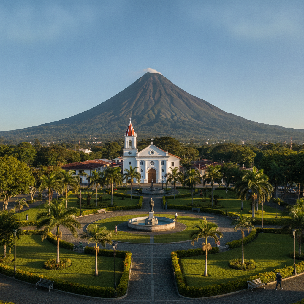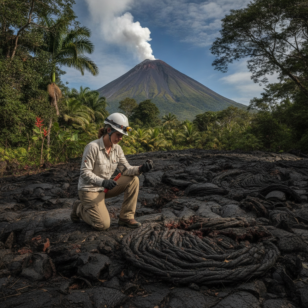
Volcanism, Geology, and the Tectonic Story of Arenal and Northern Costa Rica
Costa Rica sits on one of the most tectonically active sections of the American continental margin, where the Cocos tectonic plate subducts beneath the Caribbean plate at a rate of approximately 8 centimeters per year. This subduction drives a chain of active volcanoes running through the country from the Guanacaste range in the northwest to the Turrialba volcano east of San Jose. Arenal is one node in this system. This route examines the geological processes that created the Arenal landscape, the history of the 1968 eruption, and the geothermal resources that have shaped both the economy and the ecology of the northern lowlands.
- 1
Cocos Plate Subduction and the Costa Rican Volcanic Arc
The Costa Rican volcanic arc is produced by the subduction of the Cocos oceanic plate beneath the Caribbean plate along the Middle America Trench off the Pacific coast. As the Cocos plate descends into the mantle, water and volatiles released from the subducting slab lower the melting point of the overlying mantle wedge, producing magma that rises through the crust to feed the volcanic chain. The volcanoes are arranged in a northwest to southeast line that reflects the geometry of the trench: Rincon de la Vieja, Miravalles, Tenorio, Arenal, Poas, Barva, Irazu, and Turrialba are the major active centers. Arenal is the youngest and most recently active of the chain, having formed over the past 7,000 years on a relatively stable section of the arc.
- 2
Arenal Stratigraphic Record: 7,000 Years of Eruptions
The geological history of Arenal has been reconstructed through the stratigraphic record of ash and lava deposits preserved in the surrounding terrain. At least ten major eruptive periods have been identified over the past 7,000 years, with intervals of dormancy ranging from decades to centuries. The 1500 BP eruption was particularly large, producing pyroclastic flows that traveled several kilometers from the summit. The current cone is the product of the accumulated lava and tephra from these cycles. The 1968 eruption that reactivated Arenal after approximately 400 years of dormancy was triggered by the formation of three new craters on the western flank rather than the summit, an unusual geometry that directed the initial blast wave laterally toward the villages of Tabacon, Pueblo Nuevo, and San Luis.
- 3
The 1968 Eruption: Sequence and Impact
The 1968 eruption began on July 29 with a series of earthquakes followed by three explosions within four hours. The lateral blast from the new western craters produced a pyroclastic surge that devastated an 11-kilometer radius to the west, killing 87 people and destroying cattle, buildings, and forest. The initial lateral explosion was followed by lava flows that continued for decades, producing the lava fields visible today from the park trails. The eruption reoriented the local economy from agriculture and cattle ranching to tourism over the following decades as the continuously visible activity attracted visitors. The three villages destroyed in 1968 are commemorated by a monument on the road between La Fortuna and the park entrance.
- 4
Geothermal Energy and the Miravalles Plant
The geothermal resources of the Guanacaste volcanic belt are exploited commercially at the Miravalles Geothermal Plant, which began operation in 1994 and is the first and largest geothermal power installation in Central America. The plant generates approximately 160 MW from steam wells drilled into the hydrothermal system associated with Miravalles Volcano. The La Fortuna thermal spring system represents a smaller-scale manifestation of the same geothermal gradient; the hot water emerges at temperatures of 38 to 65 degrees Celsius depending on the specific spring location. The ICE (Instituto Costarricense de Electricidad) also operates the Arenal hydroelectric complex, making the northern lowlands around La Fortuna a critical node in Costa Rican energy infrastructure.
- 5
Earthquake History and Seismic Risk in the Arenal Zone
The La Fortuna and Arenal area has experienced several significant earthquakes generated by the local fault system associated with the volcanic arc. The 2009 Cinchona earthquake, magnitude 6.2, killed at least 23 people and caused significant landslides on the road between San Jose and La Fortuna. The earthquake occurred on the Aguacaliente fault, one of several active structures in the northern highland region. Seismic risk awareness is integrated into building codes in the area, and the ICE monitoring network tracks both seismic and volcanic activity continuously. The combination of volcanic and seismic hazard makes the northern lowlands one of the higher-risk zones in Costa Rica for natural disasters, a background condition that the tourism industry navigates carefully in its marketing.
- 6
Hot Springs Science: How Tabacon and the Thermal System Work
The thermal spring water at Tabacon and the other spring systems around La Fortuna originates as rainwater that infiltrates the Arenal Volcano edifice and surrounding highlands, descends to depth where it is heated by the residual thermal gradient of the magmatic system, and re-emerges at the surface through faults and fractures. The water chemistry reflects the rock types it has passed through: sulfur, calcium, magnesium, and bicarbonate are the primary dissolved constituents, with the sulfur giving the springs a faint egg smell at higher concentrations. The water temperature at emergence varies from 38 to 65 degrees Celsius; the resort operations mix hot and cooler groundwater to maintain comfortable bathing temperatures. The flow rate from the Tabacon springs is several hundred liters per minute.
Walk this route with audio
Stories play automatically as you reach each stop — no tapping needed.
More in La Fortuna
Ziplining, ATV Tours, and the Adventure Activity Economy of La Fortuna
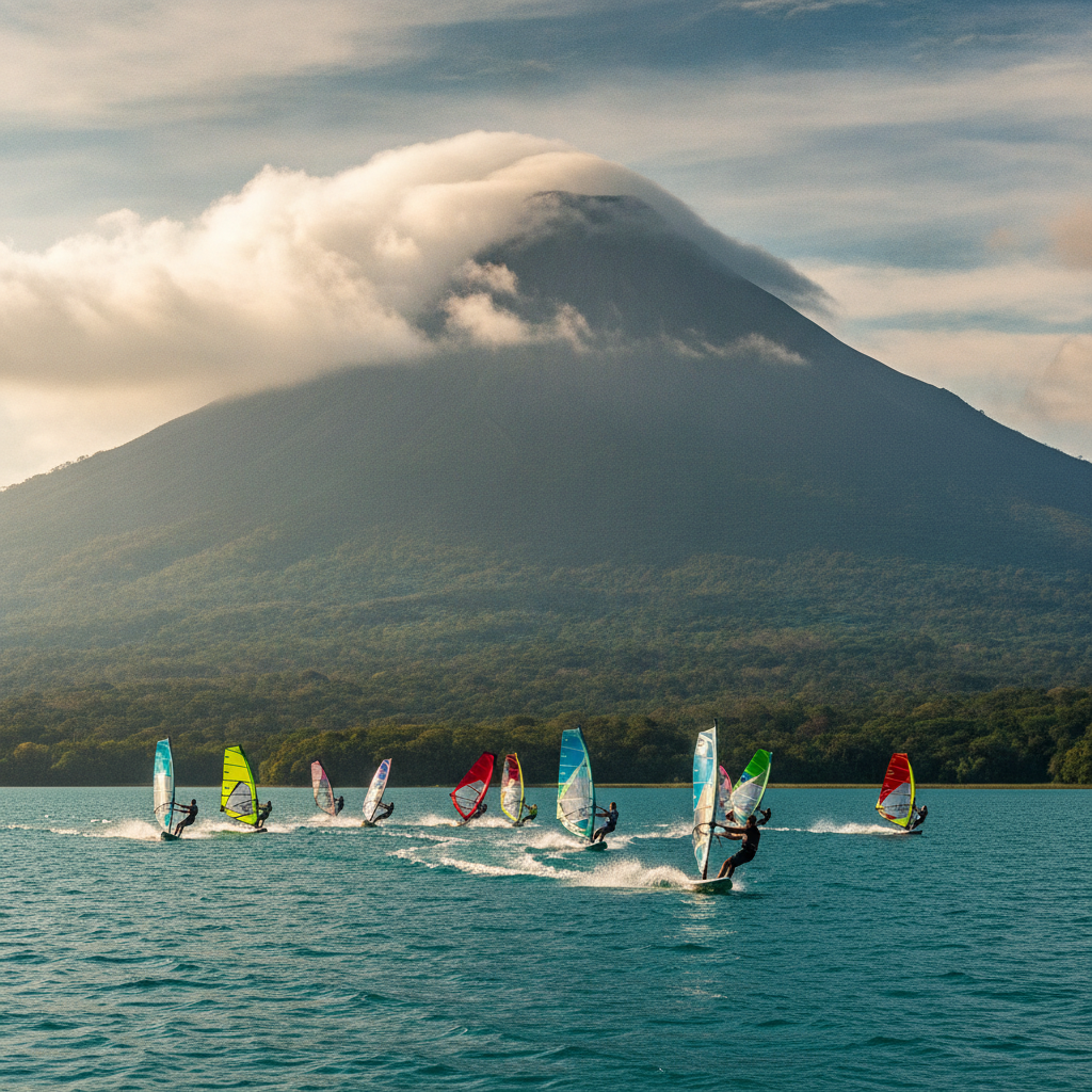
Arenal Lake, Windsurfing, and the Tilaran Highlands Connection
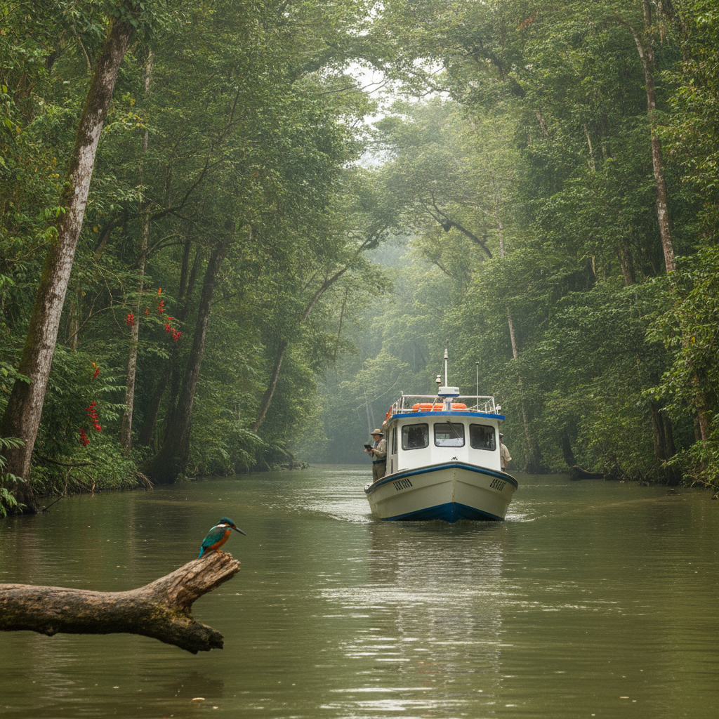
Sarapiqui Lowlands: Rainforest, Rivers, and the Caribbean Slope from La Fortuna
La Fortuna Practical Guide: Accommodation, Seasons, Costs, and Scams to Avoid
La Fortuna: Arenal Volcano, Thermal Springs, and the Rainforest Adventure Hub