Arenal Lake, Windsurfing, and the Tilaran Highlands Connection
Lake Arenal, the largest lake in Costa Rica, was created in 1979 by the damming of the Arenal River for the La Garita hydroelectric complex that generates approximately 70 percent of Costa Rican electricity during normal rainfall years. The lake's geography and the funneling of Pacific trade winds through the Tilaran gap has made Arenal Lake one of the premier windsurfing and kitesurfing destinations in the world. The town of Nuevo Arenal on the western shore and the Tilaran highlands beyond form a different landscape from the volcanic tourism zone around La Fortuna.
- 1
Arenal Lake: Hydroelectric Geography and the Drowned Village
The original town of Arenal was submerged when the lake filled in 1979; residents were relocated to Nuevo Arenal on higher ground. The hydroelectric project represented a major investment in Costa Rican energy infrastructure during the oil crisis era and has provided the country with low-carbon electricity for four decades. The lake's surface area fluctuates with rainfall and reservoir management; in drought years the water level drops enough to expose the ruins of the old town. The lake is 85 square kilometers and 60 meters deep at maximum. The consistent wind that crosses the lake from the Pacific through the Tilaran gap is a function of the lake's position across the continental divide, making it simultaneously a freshwater reservoir and a world-class wind sports venue.
- 2
Windsurfing and Kitesurfing the Tilaran Wind
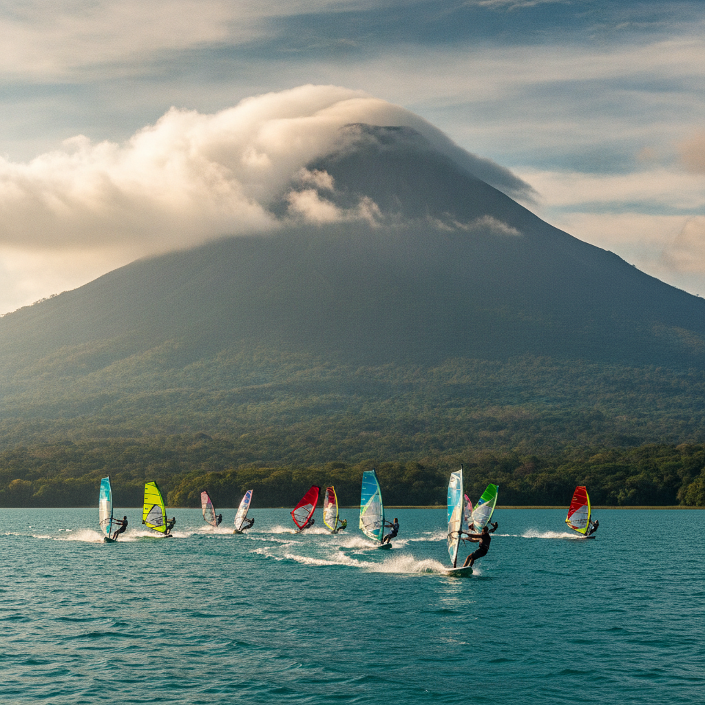
The western end of Lake Arenal near Tilaran receives winds averaging 20 to 30 knots from November through April, when the Pacific trade winds accelerate through the gap in the Tilaran mountains and funnel across the lake surface. The conditions are consistent enough that dedicated windsurfing operations established in the 1990s, and the area gained international recognition in windsurfing media as one of the top ten fresh-water wind destinations globally. The water is flat on most days without ocean swell, making it suitable for performance sailing at speed. Kitesurfing has added to the activity base. Equipment rental and instruction is available at the Tilaran end of the lake; the La Fortuna end of the lake is calmer and used more for kayaking and swimming.
- 3
Nuevo Arenal: The Expat Community and the Lake Shore Town
Nuevo Arenal on the lake's northern shore has attracted a significant foreign retired and semi-retired population from North America and Europe, drawn by the cooler temperatures of the Tilaran highland altitude (850 meters), the lake views, and the relatively low cost of living compared to the European and North American home countries. The town has bakeries, restaurants, and services oriented to this demographic alongside the local Costa Rican community. The Tilaran highlands around Nuevo Arenal are cattle ranching country, a landscape quite different from the volcanic rainforest of La Fortuna. The lake road from La Fortuna to Tilaran is one of the most scenic drives in Costa Rica, with Arenal Volcano visible across the water on clear mornings.
- 4
Caiman Spotting and Lake Kayaking
Lake Arenal and the wetlands at its eastern end near La Fortuna host spectacled caimans, freshwater turtles, kingfishers, herons, and in the evening, large bat colonies emerging from roost sites along the shore. Kayak tours of the lake shoreline at dusk are one of the more low-key wildlife experiences in the area, accessible to all fitness levels and providing a different perspective on the Arenal landscape from the volcanic trail and hanging bridge activities. The wetland zone at the lake's eastern end, where the Arenal River was dammed, concentrates wading birds and can be approached on foot or by kayak. The reflective surface of the lake provides the classic Arenal Volcano mirror image photograph when the conditions are right.
- 5
Tilaran and Guanacaste: The Wind Gap and the Dry Corridor
The Tilaran mountain range marks the boundary between the wet Pacific slope receiving Caribbean-influenced rainfall and the dry Guanacaste province to the northwest, where the rain shadow produces a savanna landscape with distinct seasonal cycles. The town of Tilaran on the highland ridge is the transition point, cooler and windier than the surrounding lowlands. Guanacaste province beyond Tilaran offers a completely different landscape: dry tropical forest, cattle ranching haciendas, and the beach destinations of the North Pacific coast. The drive from La Fortuna to Monteverde crosses through Tilaran and descends into the Santa Elena plateau, a route that combines volcanic, highland, and cloud forest landscapes in a single journey.
- 6
La Fortuna to Monteverde: The Lake Crossing Boat-and-Taxi Option
The conventional transport between La Fortuna and Monteverde involves either a four-hour drive around the lake on paved roads or a shortcut using a boat crossing of Lake Arenal combined with a taxi or jeep on the unpaved road on the other side. The boat-jeep-boat option takes approximately three hours total and passes through some of the most scenic highland terrain in Costa Rica, though the roads on the Monteverde side require a 4WD vehicle and can be impassable in heavy rain. The paved route via Tilaran is slower but more reliable. The lake crossing itself passes through the wind zone and is occasionally rough; the departure from the La Fortuna pier near Arenal Lake provides clear views of the volcano cone on cloudless mornings.
Walk this route with audio
Stories play automatically as you reach each stop — no tapping needed.
More in La Fortuna
Ziplining, ATV Tours, and the Adventure Activity Economy of La Fortuna
Sarapiqui Lowlands: Rainforest, Rivers, and the Caribbean Slope from La Fortuna
Volcanism, Geology, and the Tectonic Story of Arenal and Northern Costa Rica
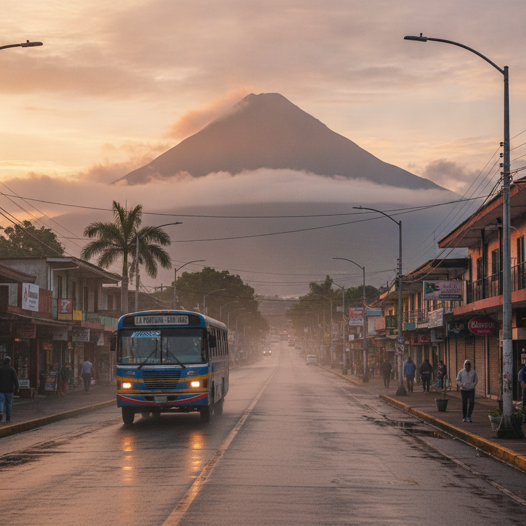
La Fortuna Practical Guide: Accommodation, Seasons, Costs, and Scams to Avoid
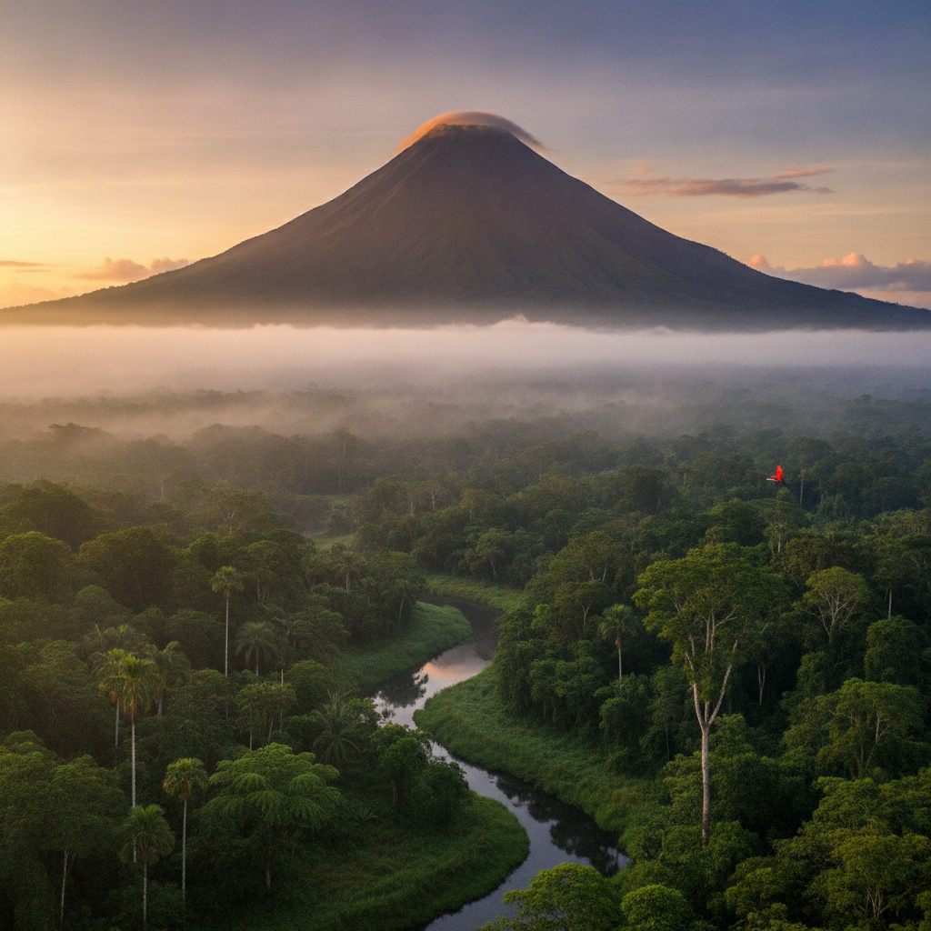
La Fortuna: Arenal Volcano, Thermal Springs, and the Rainforest Adventure Hub