Sarapiqui Lowlands: Rainforest, Rivers, and the Caribbean Slope from La Fortuna
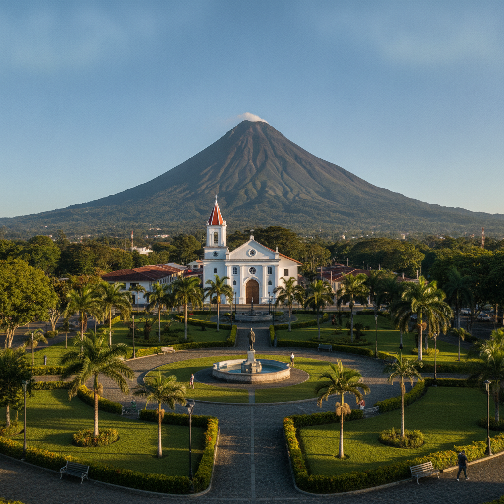
The northern lowlands stretching from the Arenal foothills to the Caribbean coast form one of the most biologically rich and least-visited landscapes in Costa Rica. The Sarapiqui river basin, accessed from La Fortuna over the Volcan Arenal and through the highland passes, drops through cloud forest into lowland rainforest before reaching the Caribbean lowland mosaic of pineapple plantations, secondary forest, and protected river corridors. La Selva Biological Station, one of the most studied tropical forest sites in the world, anchors the scientific research infrastructure of the zone.
- 1
La Selva Biological Station: Fifty Years of Tropical Forest Research
La Selva, operated by the Organization for Tropical Studies (OTS), is one of the most scientifically productive tropical forest research stations in the world. The 1,600-hectare reserve includes primary forest, secondary forest at various succession stages, and river margin habitats at 40 to 150 meters elevation. Over 4,000 vascular plant species, 500 bird species, 120 mammal species, and 130 snake species have been recorded on or around the property. The station hosts hundreds of researchers annually, and the cumulative publication record from La Selva research is the largest for any single tropical forest site. Day visitors can access the trail system with advance reservation; overnight accommodation for researchers and educational groups is available but limited.
- 2
Sarapiqui River: Rafting and Rainforest River Tours
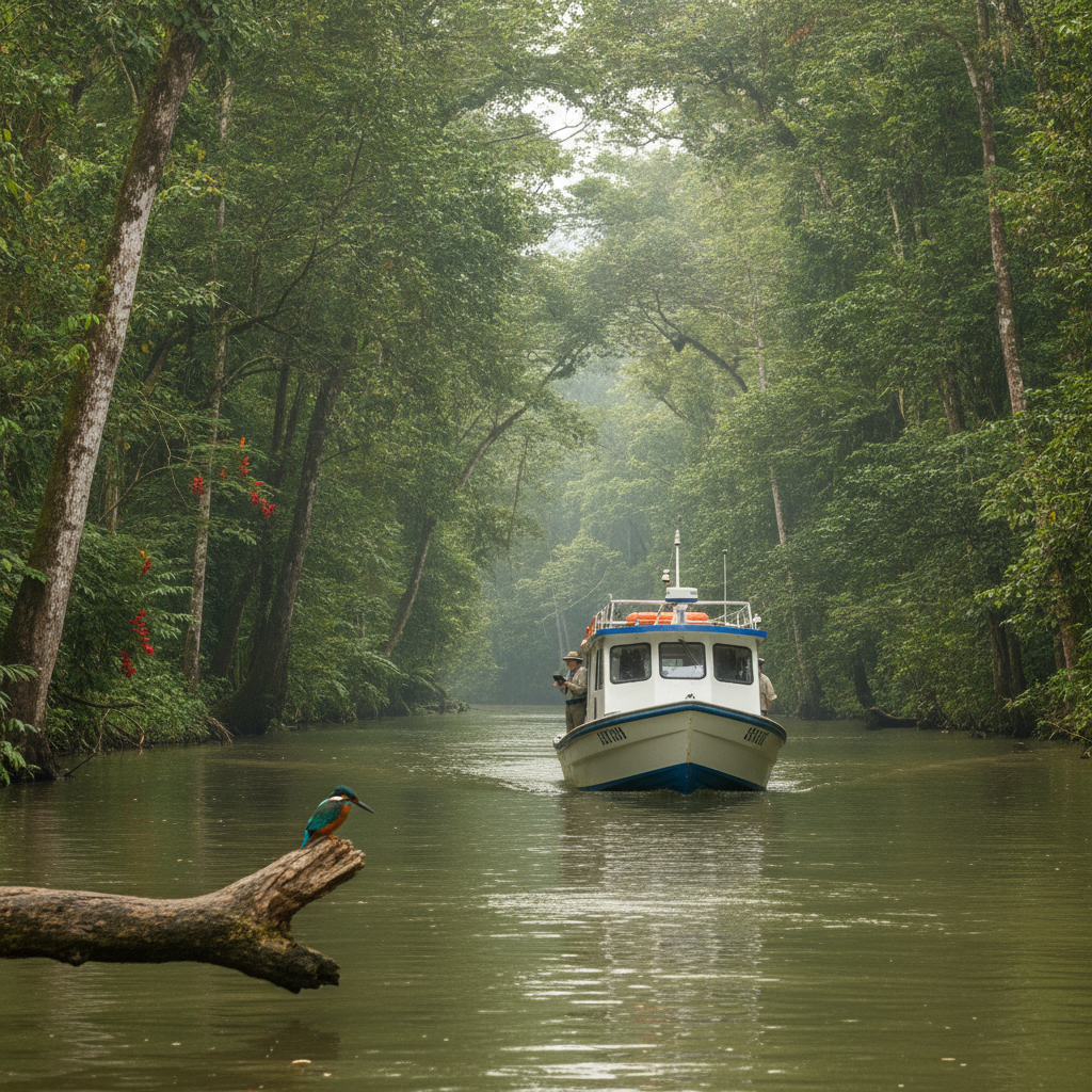
The Sarapiqui River flowing from the Barva Volcano highlands to the Caribbean is one of the major rafting rivers in Costa Rica, offering Class II and III sections through primary and secondary rainforest with excellent birdwatching from the river. Boat tours on the lower Sarapiqui near Puerto Viejo de Sarapiqui provide a slower alternative to rafting, drifting through the forest corridor with a guide identifying birds, caimans, and river otters from the boat. The Sarapiqui drainage is one of the key wildlife corridors connecting the Braulio Carrillo National Park highland forest with the Caribbean lowland reserves, and its ecological integrity is maintained partly through the community tourism economy that values intact forest over agricultural conversion.
- 3
Braulio Carrillo National Park: The Cloud Forest Barrier
Braulio Carrillo National Park covers 119,000 hectares of cloud forest and highland rainforest between San Jose and the Caribbean lowlands, creating the largest contiguous forest block in Costa Rica outside the Osa Peninsula. The park is bisected by the highway between San Jose and Limon, making it visible from the bus but mostly inaccessible without guided entry. The aerial tram operated by Rainforest Adventures crosses the park boundary and descends into the park forest from the highland ridge, providing an above-canopy view of primary cloud forest that is not accessible from trails. The park is the water source for the San Jose metropolitan area and one of the key conservation zones for the jaguar and tapir populations of the central highlands.
- 4
Pineapple Agriculture and the Sarapiqui Landscape Transformation
The Sarapiqui lowlands have experienced significant agricultural transformation through pineapple expansion since the 1990s. The combination of rich volcanic soils, reliable rainfall, and highway access to San Jose and the Caribbean port of Limon made the region attractive for large-scale pineapple operations. The conversion from primary and secondary forest to pineapple monoculture has fragmented wildlife corridors, contaminated rivers with bromacil herbicide, and displaced smallholder farming communities. The Roma pineapple variety dominant in the region is produced almost entirely for export, primarily to the US and European markets. The landscape between La Fortuna and Puerto Viejo de Sarapiqui alternates between protected forest patches, secondary growth, and the regular green rows of pineapple plantations.
- 5
Indigenous Malecu Community and Cultural Tourism
The Malecu (also known as Guatuso) are one of the smallest indigenous groups in Costa Rica, with a population of approximately 900 people living in three palenques (communities) in the Guatuso canton north of La Fortuna. The Malecu language is critically endangered, with fewer than 50 fluent speakers remaining. The community has developed a cultural tourism program offering visits to the palenques, demonstrations of traditional crafts and cooking, and guided forest walks that incorporate Malecu ecological knowledge. The program provides direct income to community members while maintaining cultural transmission. The Malecu territory was significantly reduced during the nineteenth and twentieth centuries through land alienation, disease, and the disruption of traditional subsistence systems by rubber traders and cattle ranchers.
- 6
Caño Negro Wildlife Refuge: Wetland Birds and the Nicaragua Border Zone
Caño Negro Wildlife Refuge, ninety kilometers north of La Fortuna near the Nicaraguan border, is the most important inland wetland for waterbirds in Costa Rica. The refuge covers 9,969 hectares of seasonal wetland, oxbow lakes, and forest along the Rio Frio. The dry season from December through March concentrates the water in permanent lagoons, producing extraordinary concentrations of jabiru storks, roseate spoonbills, anhingas, eight species of heron, and migratory ducks. American crocodiles, caimans, and bull sharks (which travel upriver from the Caribbean) are present in the water channels. Day tours from La Fortuna operate by boat through the refuge channels; the three-hour drive on rough roads is part of the experience of reaching one of Costa Rica's least-developed protected areas.
Walk this route with audio
Stories play automatically as you reach each stop — no tapping needed.
More in La Fortuna
Ziplining, ATV Tours, and the Adventure Activity Economy of La Fortuna
Arenal Lake, Windsurfing, and the Tilaran Highlands Connection
Volcanism, Geology, and the Tectonic Story of Arenal and Northern Costa Rica
La Fortuna Practical Guide: Accommodation, Seasons, Costs, and Scams to Avoid
La Fortuna: Arenal Volcano, Thermal Springs, and the Rainforest Adventure Hub