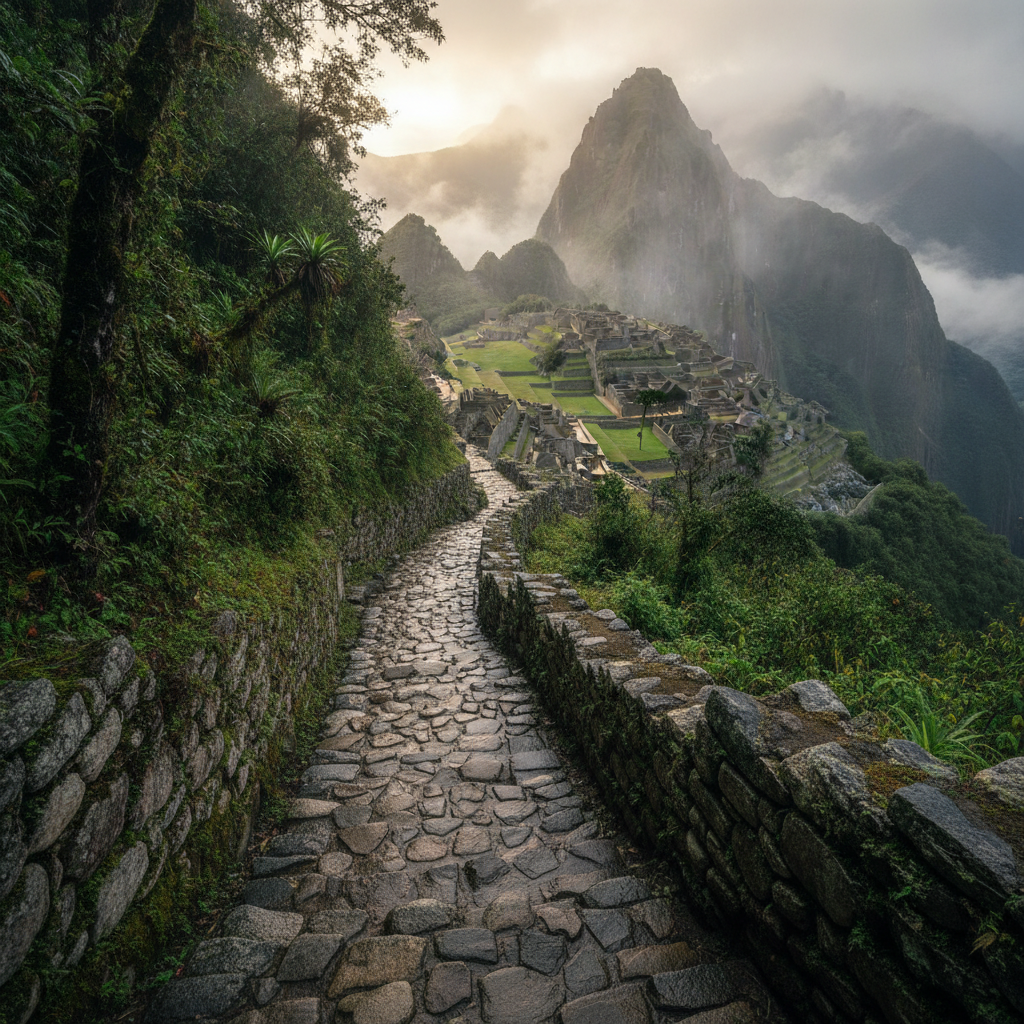
Machu Picchu: The Cloud City of the Inca and the Most Visited Site in the Americas
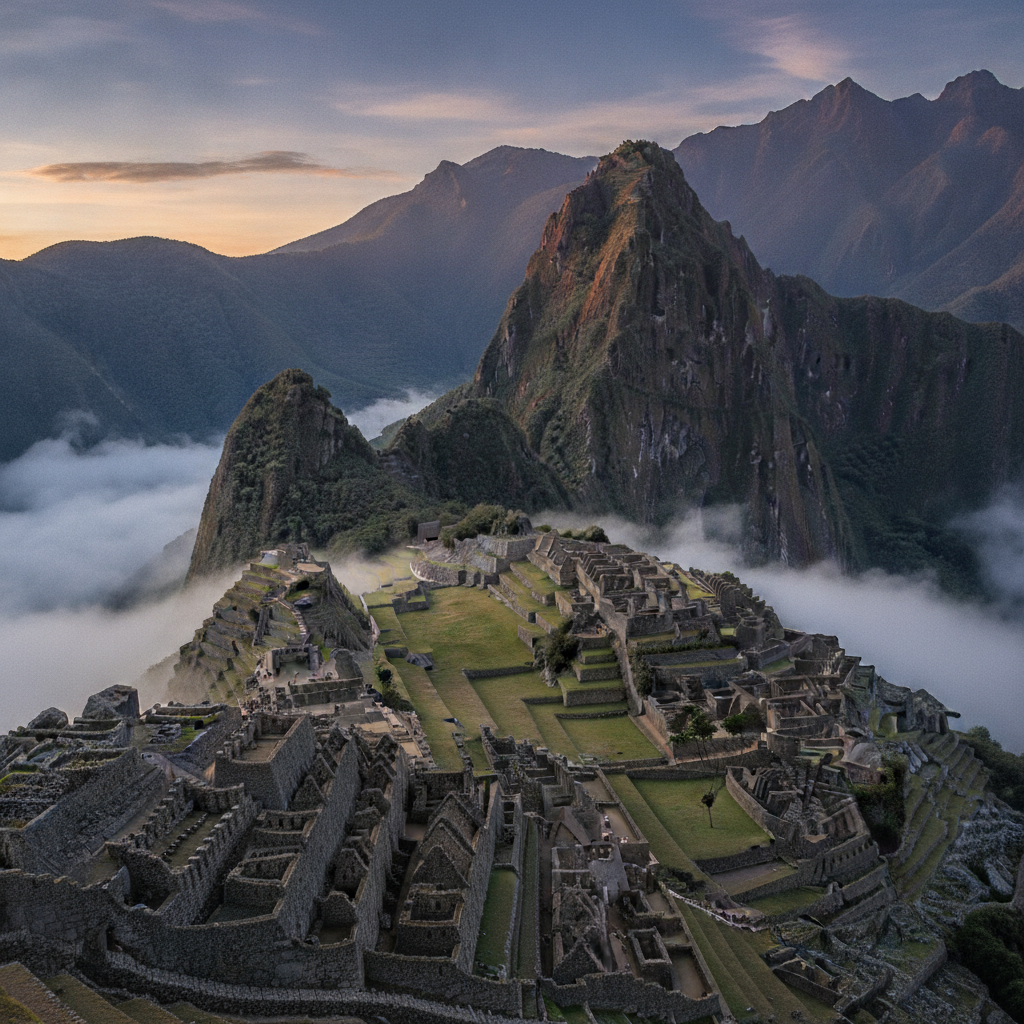
Machu Picchu, the Inca royal estate built around 1450 on a saddle ridge above the Urubamba River in the cloud forest zone below Cusco, was abandoned within a century of construction and remained unknown to the outside world until Hiram Bingham reached it in 1911 with the guidance of local farmers who had been farming its terraces throughout the intervening centuries. The site at 2,430 meters sits below the permanent cloud layer above the Sacred Valley, surrounded by steep forested ridges and the serpentine Urubamba gorge 400 meters below. The combination of extraordinary landscape setting, the mystery of its abandonment and rediscovery, and the quality of its Inca architecture has made it the most visited archaeological site in the Americas and one of the most photographed places on earth.
- 1
The Architecture: Agricultural Terraces, Urban Sector, and Sacred Spaces
Machu Picchu is divided into distinct functional zones by its builders. The agricultural sector on the southern and western slopes consists of approximately 700 terraces carved into the steep hillside, providing both agricultural land for growing corn and potatoes and structural support against erosion and landslide. The urban sector is divided by a central plaza into the religious and ceremonial sector to the west and the residential and industrial sector to the east. The religious sector contains the Temple of the Sun, the Room of the Three Windows, and the Intihuatana stone, a carved granite pillar whose angles align precisely with the sun at the winter solstice. The water channel system that supplied the site with spring water from the mountain above is a masterpiece of hydraulic engineering, with a sequence of 16 fountains stepping down from the upper agricultural sector through the urban zone to the lower terraces.
- 2
The Intihuatana Stone: Astronomical Alignment and Ceremonial Function
The Intihuatana, whose name means hitching post of the sun in Quechua, is the most sacred object at Machu Picchu, a carved granite projection from the bedrock at the highest point of the ceremonial sector that is precisely aligned with the cardinal directions and with the position of the sun at both solstices and equinoxes. The stone was never damaged during the colonial period because the Spanish never reached Machu Picchu; the Intihuatana stones at all other Inca sites were destroyed by Spanish missionaries as idolatrous objects. Modern research has established that the shadow cast by the stone at the winter solstice aligns with specific architectural elements, suggesting it was used as an instrument for tracking the agricultural calendar. A 2001 accident during filming of a beer commercial caused a small chip to break from the stone; the damage is visible and the stone is now protected from close approach by a barrier.
- 3
Huayna Picchu: The Peak Above the City and the Temple of the Moon
Huayna Picchu, the dramatic pointed peak rising behind the main site in the classic postcard view, is accessible by a steep trail from within the Machu Picchu citadel that ascends 360 meters in approximately 45 minutes to an hour one way. From the summit, the view of the entire Machu Picchu citadel spread below is the most dramatic perspective available of the site and is the viewpoint from which the famous aerial-style photographs are taken. Tickets for Huayna Picchu are limited to 400 per day in two timed groups and sell out weeks or months ahead of peak season dates; they must be purchased in advance through the government ticketing portal. The Temple of the Moon, accessible by a separate trail around the western base of Huayna Picchu, is a less-visited carved cave sanctuary decorated with elaborate niches and false doors and is one of the finest examples of Inca religious architecture on the site.
- 4
Hiram Bingham and the 1911 Discovery: What Was Really Found
Hiram Bingham III, a Yale historian and adventurer, reached Machu Picchu on July 24, 1911, guided from the nearby town of Mandor by local farmers Melchor Arteaga and Anacleto Alvarez, who knew the ruins from their agricultural use of the terraces. The characterization of his discovery as the finding of a lost city has been contested by subsequent historians who have established that the ruins were known to local farmers and that at least three other outsiders had visited and documented the site in the years before 1911. Bingham conducted excavations in 1912 and 1915 and removed approximately 40,000 artifacts to Yale University, which sparked a century-long repatriation dispute that resulted in the return of most objects to Peru in 2010 and 2011 and their display in the Museo Machu Picchu in Cusco. Bingham romanticized the site in his National Geographic articles and book Lost City of the Incas published in 1948, creating the mythology that substantially shaped the world understanding of Machu Picchu.
- 5
The Agricultural Terraces and the Inca Potato Research Program
The terracing system of Machu Picchu, one of the most extensive of any Inca site, served both agricultural and structural functions; the terraces prevented the steep slopes from eroding and slipping while providing growing surfaces for food crops. Archaeological analysis of the terraced soils has found that the Inca imported topsoil and layered it with specific depth ratios of gravel, clay, and humus to create optimal growing conditions, a level of agricultural engineering that exceeds simple hillside clearing. The crops grown on the terraces included several varieties of potato, corn, and quinoa adapted to the specific altitude and climate conditions at 2,430 meters. The terraces also create a series of distinct microclimates that vary by exposure, altitude, and soil; Inca agricultural science identified these variations and matched crop varieties accordingly. The Agricultural Research Station hypothesis proposed by some archaeologists suggests Machu Picchu may have functioned partly as a center for developing new crop varieties for use at different elevations throughout the empire.
- 6
Aguas Calientes: The Gateway Town and Hot Springs
Aguas Calientes, officially renamed Machu Picchu Pueblo, is the small town at the bottom of the mountain below the ruins, accessible by train from Ollantaytambo or on foot along the railway tracks from kilometer 104 on the Inca Trail. The town exists almost entirely to serve the Machu Picchu tourism economy, with hundreds of hotels, restaurants, and souvenir shops packed into the narrow valley between the steep forested walls of the Urubamba gorge. The hot springs after which the town is named are thermal baths in a concrete pool complex at the north end of the main street, fed by geothermal water at 40 degrees Celsius; they provide a welcome soak for trekkers arriving via the Inca Trail. The town has a chaotic, frontier-capitalism character that many visitors find jarring after the grandeur of the ruins above; some choose to take the last afternoon bus and train directly back to Ollantaytambo without an overnight to avoid the Aguas Calientes experience.
Walk this route with audio
Stories play automatically as you reach each stop — no tapping needed.
More in Machu Picchu
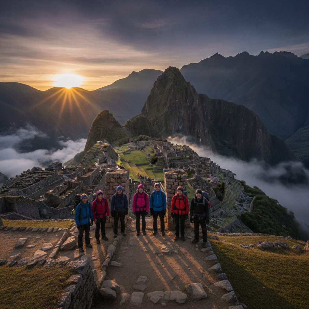
Machu Picchu Approaches: Inca Trail, Salkantay, and the Train Route
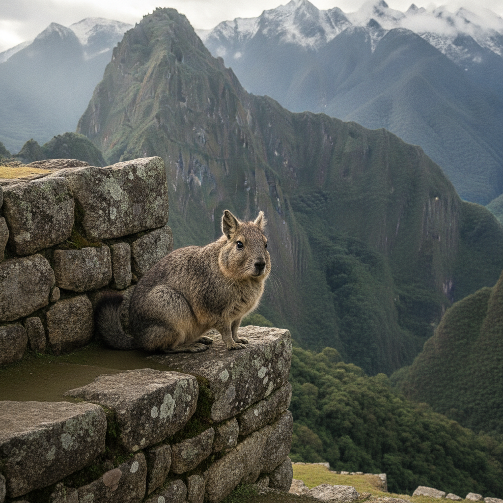
Machu Picchu Wildlife and Cloud Forest Ecology
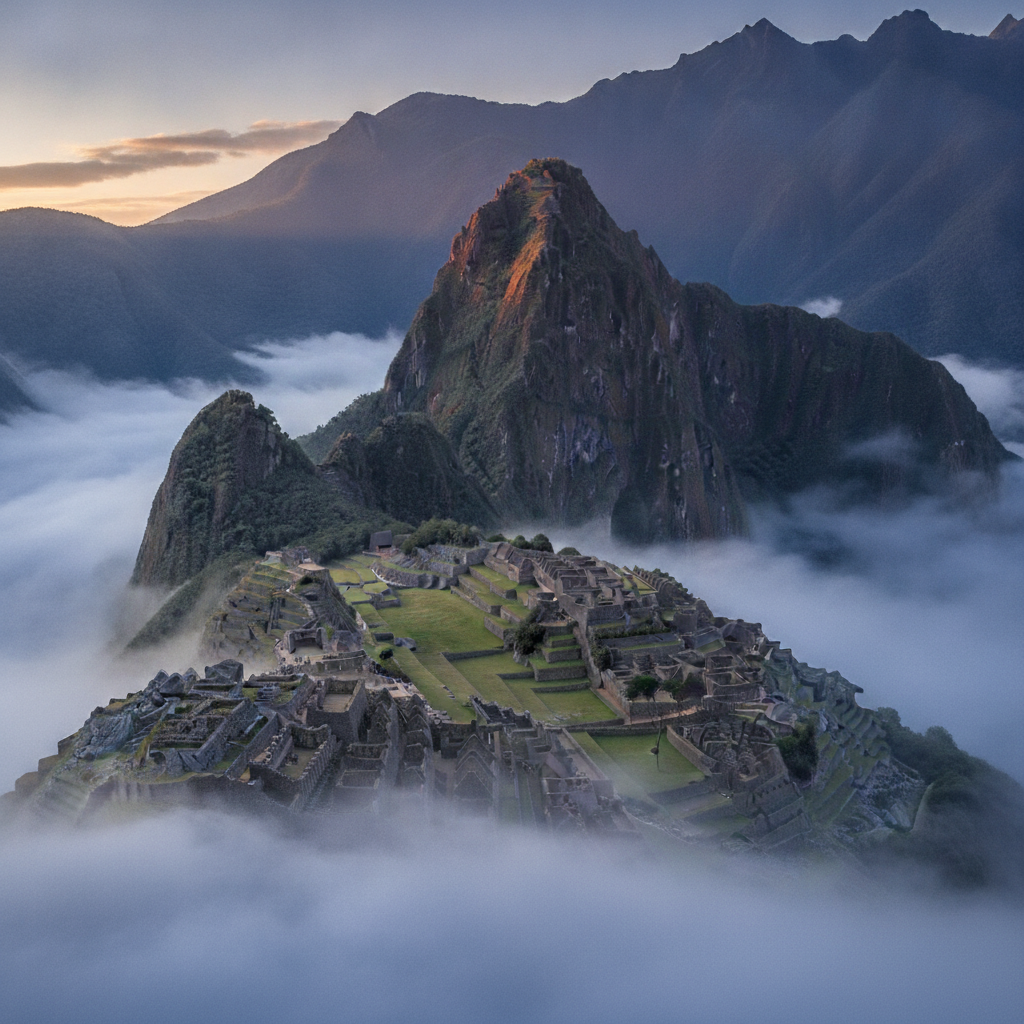
Machu Picchu Photography: Light, Viewpoints, and the Best Conditions
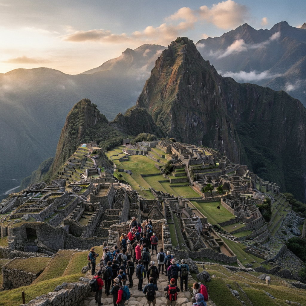
Machu Picchu Practical Guide: Tickets, Entry Rules, Costs, and What to Bring
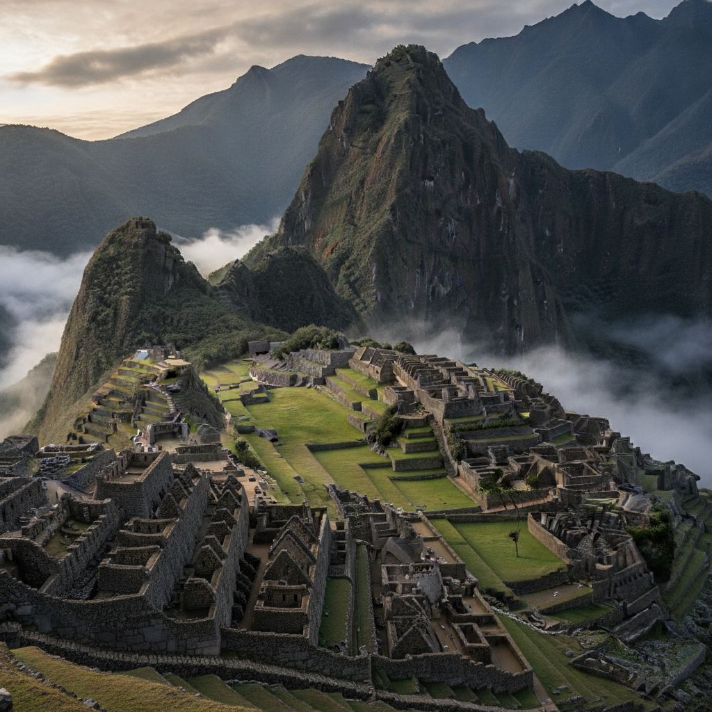
Machu Picchu Archaeology: What We Know and What Remains Uncertain