Naranjo River Rafting, Savegre Valley, and the Inland Landscape Around Manuel Antonio
The landscape inland from the Manuel Antonio coast is as ecologically significant as the park itself. The Savegre River drainage, originating on the Cerro de la Muerte highlands, supports one of the most important resplendent quetzal populations in Costa Rica outside of Monteverde. The Naranjo and Savegre rivers offer white-water rafting in the rainy season. The Damas Island mangrove estuary north of Quepos is a productive birdwatching and kayaking ecosystem. This route maps the inland and estuarine natural landscape beyond the park boundary.
- 1
Savegre Valley: Quetzal Habitat and Cloud Forest at Altitude
The Savegre River valley, accessible from the Inter-American Highway on the Cerro de la Muerte pass and from the Pacific lowlands via a winding mountain road, holds one of the largest resplendent quetzal populations in Costa Rica. The Los Cusingos Bird Sanctuary, established by ornithologist Alexander Skutch who lived and worked there for six decades, preserves primary forest in the lower Savegre valley. The upper valley around San Gerardo de Dota is the primary quetzal viewing destination, at 2,200 meters altitude where the cloud forest is dense and the birds nest from February through May. The contrast between the coastal lowlands of Manuel Antonio and the cold cloud forest of the Savegre is navigable in a single day.
- 2
Naranjo and Savegre Rivers: White-Water Rafting Seasons
The Naranjo River offers Class III and IV white water from May through November when rainfall increases the volume and gradient of the river. The Savegre river provides Class II and III sections accessible to beginners. Several outfitters in Quepos run full-day and half-day rafting trips combining transport, equipment, and a riverside lunch. The rivers pass through forest corridors where kingfishers, anhingas, and occasional river otters are visible from the raft. Rafting outside the rainy season is not possible due to insufficient water; the outfitters shift to sea kayaking and park-based activities during the dry months. This seasonal dependence on rainfall makes Manuel Antonio genuinely bimodal in its activity offering.
- 3
Damas Island Mangrove Estuary: Kayaking and Birdwatching
The Damas Island mangrove complex north of Quepos is a productive brackish estuary accessible by kayak tour or motorized boat from the Damas landing. The channels between the mangrove islands support American crocodiles, roseate spoonbills, tiger herons, boat-billed herons, and in the late afternoon, large concentrations of roosting egrets. The mangroves are also the nursery habitat for the commercial fish species that support the Quepos fishing fleet. The kayak tour format using the tidal flow to move through the channels at low effort is the most ecologically appropriate way to access the estuary, and several operators offer sunrise departures that catch the bird activity at its peak.
- 4
African Palm: The Landscape Between the Park and the Highway
The agricultural landscape between the coast and the Inter-American Highway is dominated by African palm (Elaeis guineensis) plantations that replaced the United Fruit banana monoculture after the Panama disease collapse. The palm oil produced feeds Costa Rican food manufacturing and is exported. The landscape is ecological desert compared to the rainforest it replaced, with almost no understory biodiversity and heavy pesticide use affecting waterways. The African palm corridor visually marks the boundary between the protected park and private agricultural land, and the contrast between the forest edge and the plantation edge is immediate and striking from the Quepos road. This landscape is the economic substrate that allows the tourist economy of the park to coexist with a productive agricultural zone.
- 5
Hacienda Baru Wildlife Refuge: Private Reserve Model
Hacienda Baru, on the coast north of Quepos near Dominical, represents the private reserve model operating alongside the national park system. The former cattle farm converted to wildlife refuge in the 1980s and is now a certified wildlife refuge covering 330 hectares of forest, mangrove, and beach. The refuge has documented the return of jaguars, ocelots, and tapirs to the property following thirty years of protection. It offers birdwatching tours, guided night walks, a tree-climbing canopy course, and overnight accommodation. Hacienda Baru is one of the most studied private reserves in Costa Rica and has produced long-term wildlife monitoring data that documents the recovery of mammal populations with forest regeneration.
- 6
Whale Watching: Humpback Whales in the Marino Ballena National Park
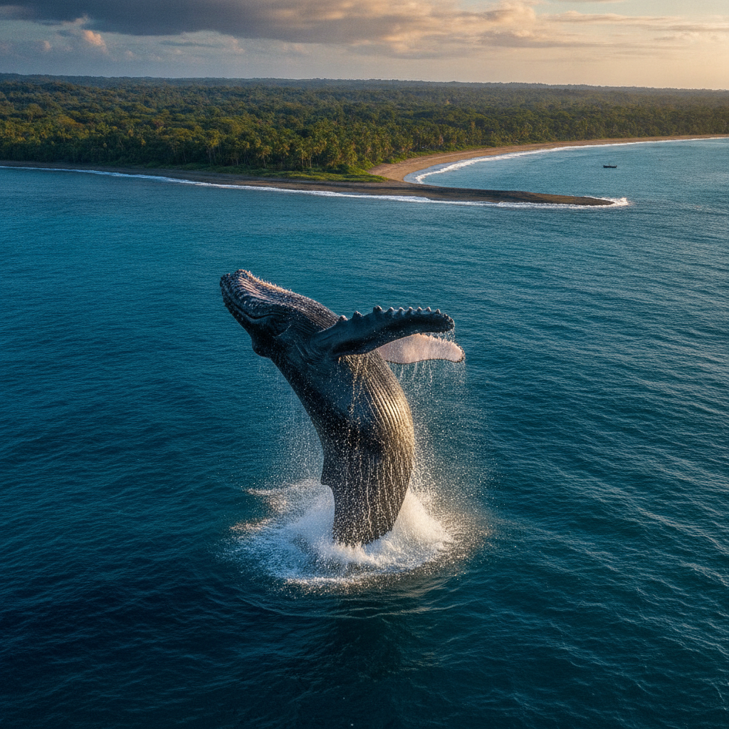
Marino Ballena National Park, thirty kilometers south of Quepos near Uvita, protects a whale tail-shaped sandbar formation and the surrounding marine zone where humpback whales congregate twice annually. The Northern Hemisphere population arrives from December through April; the Southern Hemisphere population arrives from July through November. The overlap period allows nearly year-round whale sightings, making Marino Ballena one of the most reliable whale watching destinations in the world. Boat tours from Uvita operate to the marine park zone. The beach behind the whale tail formation, Playa Ballena, is one of the less crowded Pacific beaches in Costa Rica, accessible without park admission outside the marine protected zone.
Walk this route with audio
Stories play automatically as you reach each stop — no tapping needed.
More in Manuel Antonio
LGBTQ+ Travel in Manuel Antonio and the Costa Rica Context
Osa Peninsula and Corcovado: The Most Biodiverse Place on Earth
Manuel Antonio Practical Guide: Park Access, Accommodation Budget, and Seasonal Planning
Manuel Antonio: National Park, Wildlife, and the Pacific Coast Beach Experience
Jaco Beach, Dominical, and the Central Pacific Coast Circuit