Geology of the Bolivian Altiplano: Volcanoes, Minerals, and the Andean Plateau
The southwestern Bolivian altiplano where the Salar de Uyuni sits is one of the most geologically active and mineralogically rich regions on Earth. The plateau itself formed by the uplift of the Andes as the Nazca tectonic plate subducts under the South American plate, a process that has raised the entire region from sea level to over 3,500 meters over the past 25 million years. The subduction process drives active volcanism along the volcanic arc that forms the Bolivian-Chilean border, with dozens of peaks above 5,000 meters including several that have erupted in historical times. The mineral wealth of the region is extraordinary: silver at Potosi, tin and zinc throughout the altiplano, sulfur from the volcanic fumaroles, and the lithium brines beneath the Salar itself represent multiple overlapping resource categories that have shaped Bolivian economic history.
- 1
The Altiplano: The Worlds Second Largest High Plateau
The Altiplano, the high plateau of the central Andes extending through Bolivia, Peru, Chile, and Argentina, is the worlds second largest plateau after the Tibetan plateau, covering approximately 800,000 square kilometers at an average altitude of 3,750 meters. The Bolivian section of the altiplano, bounded by the Cordillera Occidental volcanic chain on the west and the Cordillera Real metamorphic and sedimentary range on the east, is the widest and highest section of the plateau. The plateau formed as sediment eroded from the rising Andes filled the basin between the two mountain ranges, creating a thick sequence of continental sediments and lake deposits above the basement rock. The absence of drainage to the sea means that water and dissolved minerals accumulate in the basin, producing the salt lakes and salt flats that characterize the southern altiplano. The Salar de Uyuni is the lowest point in the Bolivian altiplano basin, receiving drainage from the surrounding volcanic and sedimentary highland.
- 2
Volcanic Arc: The Fire Mountains of the Bolivia-Chile Border
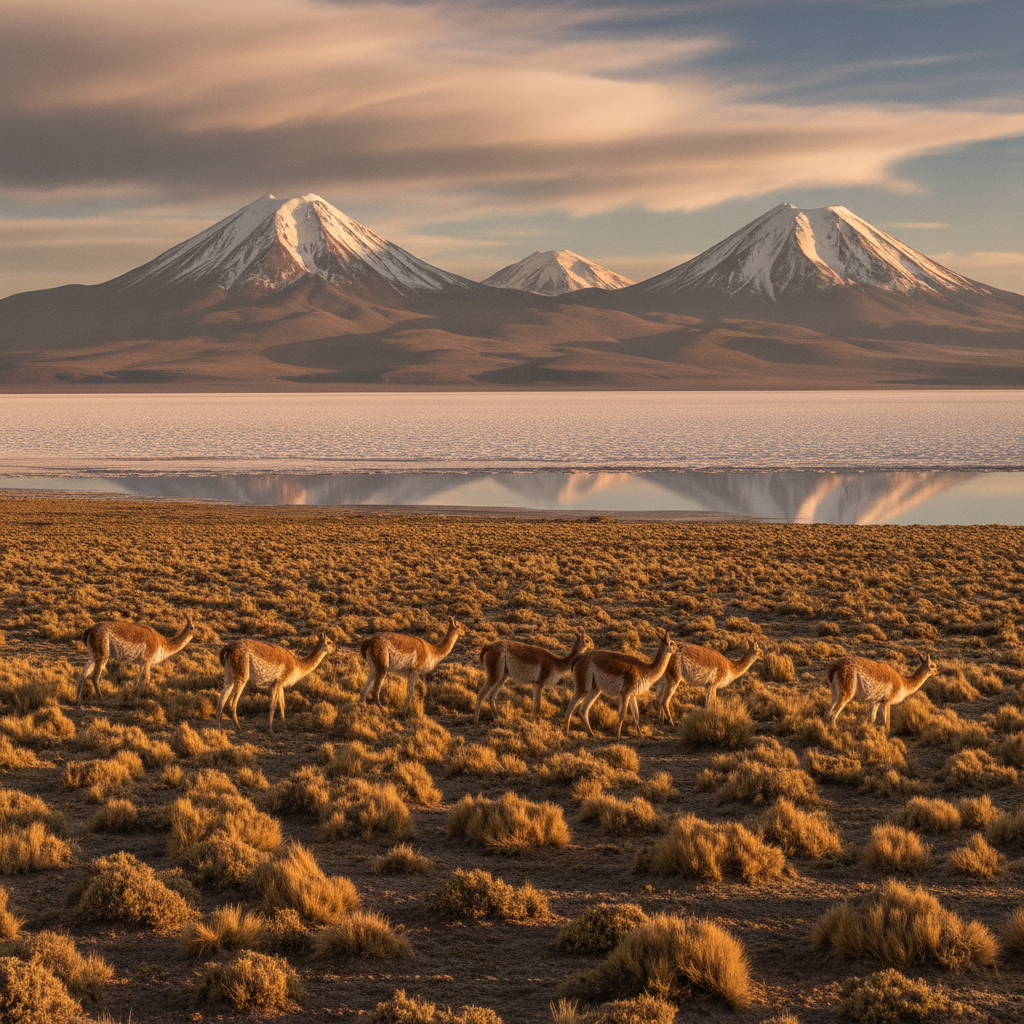
The Cordillera Occidental, the western mountain range forming the Bolivian-Chilean border, is an active volcanic arc produced by the subduction of the Nazca oceanic plate under the South American continental plate at approximately 7 centimeters per year. The volcanic arc contains dozens of peaks above 5,000 meters and several above 6,000 meters, including Sajama at 6,542 meters, the highest peak in Bolivia, and numerous active or dormant volcanoes including Ollague, Acotango, and Parinacota. The volcanic geology of the arc produces sulfur deposits at the fumaroles of active volcanoes, which were historically mined by indigenous workers in the colonial period for gunpowder production, and the same hydrothermal systems that drive the fumaroles also concentrate metallic minerals including copper, gold, and silver in ore deposits throughout the arc. The geothermal activity visible at the Sol de Manana geyser field in the Eduardo Avaroa Reserve is the surface expression of the same magmatic system that feeds the volcanic peaks along the border.
- 3
Potosi Silver and the Colonial Mining Economy
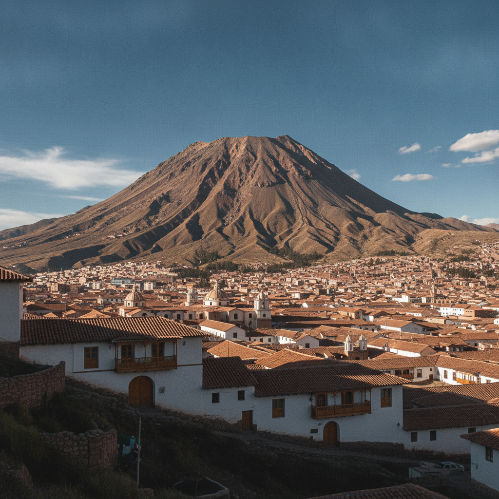
The Cerro Rico, the rich mountain of Potosi, is a conical volcanic peak rising above the city of Potosi at 4,090 meters altitude approximately 200 kilometers northeast of the Salar de Uyuni, and was the source of the largest silver deposit ever discovered in the Americas and possibly in world history. Silver was discovered at Cerro Rico in 1545 by indigenous miners working for the Spanish colonial administration, and within decades Potosi had grown to a population of 150,000 to 200,000, making it one of the largest cities in the world at the time. The silver extracted from Potosi financed the Spanish empire for over a century and profoundly shaped global trade patterns, with Potosi silver reaching China via Manila and fueling the early modern global economy. The human cost was catastrophic: historians estimate that eight million indigenous workers and enslaved Africans died in the mines over the colonial period, working in conditions of extreme cold, altitude, dust, and mercury exposure used in the amalgamation process. Potosi remains a mining city today, with cooperative miners still extracting zinc, tin, and residual silver from the depleted Cerro Rico.
- 4
The Salt Chemistry: Lithium, Potassium, and the Brine Beneath
The Salar de Uyuni is not simply a layer of sodium chloride salt but a complex chemical system containing dozens of dissolved minerals in the brine beneath the surface crust, including lithium, potassium, magnesium, boron, and other elements in economically significant concentrations. The lithium brine, which occurs at depths of a few meters to tens of meters below the salt surface, is the highest-grade lithium resource in the world in terms of the ratio of lithium to magnesium, a ratio that determines processing cost and efficiency. The potassium in the same brine is separately valuable as a fertilizer component and is being extracted at the Salar as a commercial byproduct of lithium processing. The boron deposits associated with the volcanic hydrothermal system are significant enough to have supported commercial extraction in the past. The overall mineral chemistry of the Salar reflects its origin as the evaporation product of lake water that itself reflected centuries of volcanic weathering and hydrothermal input from the surrounding volcanic arc, concentrating elements that are present in trace amounts in ordinary seawater to commercially recoverable concentrations through repeated evaporation cycles.
- 5
Fossil Landscapes: Prehistoric Lakes and the Andes Uplift Record
The sedimentary record of the Bolivian altiplano contains a detailed chronicle of the uplift of the Andes and the changing climate of the past several million years, preserved in the lake sediments, evaporite deposits, and fossil-bearing strata that underlie the modern salt flat and surrounding terrain. The ancient lake shorelines that ring the Salar at various elevations record former lake levels during wetter Pleistocene periods when glacial meltwater and higher rainfall maintained large lakes on the altiplano. Fossil stromatolites, the mineral structures built by microbial communities in shallow alkaline lakes, are found in the ancient lake deposits and represent some of the few easily accessible examples of these structures in a non-marine context. The coral reef origin of Incahuasi Island in the center of the Salar, now at 3,600 meters altitude, records the former sea-level position of the region before Andean uplift. Fossils of extinct giant ground sloths, giant armadillos, and other Pleistocene megafauna have been found in sedimentary deposits associated with the ancient altiplano lake systems, demonstrating that the region supported a very different fauna before the extinction of South American megafauna approximately 12,000 years ago.
- 6
Quinoa: The Andean Superfood and the Altiplano Agriculture
The quinoa plant, Chenopodium quinoa, is native to the Andean altiplano and has been cultivated by indigenous farmers for at least 5,000 years, selected from wild relatives for its high-protein seeds that can tolerate the extreme cold, frost, drought, and poor soils of the altiplano environment where most conventional crops cannot grow. The Bolivian altiplano around the Salar de Uyuni, specifically the regions of Oruro and Potosi departments, produces the highest quality quinoa in the world, the Real variety grown at high altitude in the mineral-rich volcanic soils, which commands premium prices in international markets. The global quinoa boom that began around 2010 as international health food markets discovered quinoa dramatically increased prices and export volumes, raising incomes for altiplano farming communities while also raising concerns about whether subsistence farming families were selling their own food supply for export revenue. Bolivia and Peru together account for the vast majority of global quinoa exports. The crop is typically grown in small family plots without irrigation, relying on the rainy season rainfall, and harvested manually before the seeds are dried and processed for sale.
Walk this route with audio
Stories play automatically as you reach each stop — no tapping needed.
More in Salar de Uyuni
Salar de Uyuni History: Pre-Columbian Peoples, Colonial Routes, and Bolivian Independence
Salar de Uyuni Practical Guide: Getting There, Tour Types, Packing, and Safety
Wildlife of the Bolivian Salt Flat Region: Vicunas, Viscachas, and Desert Adaptations

Stargazing at the Salar de Uyuni: One of the Best Night Skies on Earth
Uyuni Tour Logistics: Jeep Tours, Seasons, and the Three-Day Itinerary