Salar de Uyuni History: Pre-Columbian Peoples, Colonial Routes, and Bolivian Independence
The Salar de Uyuni and the surrounding southwestern Bolivian altiplano have been inhabited and traversed by human populations for at least 12,000 years, with evidence of hunter-gatherer camps around the prehistoric lake shores that preceded the modern salt flat. The region was part of the Tiwanaku cultural sphere from approximately 400 to 1000 CE and subsequently absorbed into the Inca empire that used the altiplano roads, the qhapaq nan, to connect the silver and copper mining regions to the administrative centers of Cusco and Quito. The Spanish colonial economy transformed the altiplano into a labor extraction zone serving the Potosi silver mines, with devastating population consequences for the indigenous communities. Bolivian independence in 1825 brought new political structures but perpetuated many of the economic patterns that continue to shape the region.
- 1
Pre-Columbian Peoples of the Southwestern Altiplano
The southwestern Bolivian altiplano, though harsh in climate, supported human populations throughout the pre-Columbian period due to its resources of salt, mineral pigments, hunting grounds for camelids, and its position on trade routes connecting the Pacific coast with the highland mining and agricultural zones. The Atacameno people of the pre-Columbian period, also called Lickanantai, inhabited both the Chilean Atacama and the adjacent Bolivian altiplano and are associated with the complex of defensive hilltop villages called pukaras that dot the altiplano landscape. The Tiwanaku state, centered on the Lake Titicaca basin to the north, extended its political and economic influence into the southwestern altiplano through a network of colonies and trade relationships from approximately 400 to 1000 CE, and Tiwanaku-style ceramics and architecture are found at sites throughout the region. The collapse of the Tiwanaku state around 1000 CE was followed by a period of fragmented regional polities before the Inca expansion under Pachacutec and his successors incorporated the entire altiplano into the Tawantinsuyu empire in the 15th century.
- 2
Inca Roads Across the Salt Flat: The Qhapaq Nan
The Inca road network, the qhapaq nan, was one of the most extensive and well-engineered road systems of the pre-industrial world, covering over 40,000 kilometers across the Andes and Pacific coast with paved stone roads, suspension bridges, and regular way stations called tambos spaced approximately one day's travel apart. The southwestern Bolivian altiplano was traversed by branches of the qhapaq nan that connected the Potosi and Oruro mining regions with the Pacific coast ports used for trade and with the Titicaca basin administrative centers. The salt of the Uyuni and Coipasa salares was a significant trade commodity on these routes, as salt was essential for the amalgamation process used in silver ore processing and for food preservation throughout the empire. Archaeological survey of the altiplano has identified multiple sections of Inca road infrastructure around the Salar, including causeway segments across wet areas and the foundations of tambo stations. The UNESCO inscription of the qhapaq nan as a World Heritage route in 2014 covered sections in Bolivia alongside those in Argentina, Chile, Colombia, Ecuador, and Peru.
- 3
The Mita Labor System and the Potosi Connection
The mita de minas, the colonial adaptation of the Inca mita obligatory labor system, required indigenous communities across the Bolivian and Peruvian altiplano to send a rotating quota of adult male workers to the Potosi silver mines at their own expense and for minimal compensation. The mita draft affected communities within a defined radius of Potosi that encompassed the entire southwestern altiplano including the Uyuni region, and its consequences were catastrophic: workers who returned from the mines brought silicosis and mercury poisoning that killed them within years, and many workers simply did not return, either dying at Potosi or fleeing to avoid the draft. Historians estimate that the combination of disease, overwork, and demographic disruption caused the altiplano indigenous population to decline by 50 to 80 percent over the first century of colonial rule. The communities that survived the mita period restructured their social organization around the reduced population and the need to meet ongoing labor quotas, producing the community structures that partially persist to the present. The road between the southwestern altiplano communities and Potosi remained an important route throughout the colonial period for both labor draft and commercial exchange.
- 4
Bolivian Independence and the War of the Pacific
Bolivia declared independence from Spain in 1825, taking the name of the independence leader Simon Bolivar who had led the military campaigns that expelled the Spanish from most of South America. The new nation inherited the colonial administrative structure with its center in the altiplano and its economic base in mining, and the southwestern region including the Uyuni area remained primarily a zone of indigenous agricultural and herding communities with minimal urban infrastructure. The War of the Pacific from 1879 to 1884, fought between Chile against Bolivia and Peru over the nitrate-rich Atacama Desert, resulted in Bolivia losing its entire Pacific coastline to Chile, becoming the landlocked country it remains today. The loss of the port of Antofagasta and the adjacent nitrate territories permanently redirected Bolivian export trade from the Pacific to longer overland routes, and the economic trauma of the maritime loss became a central grievance in Bolivian national identity that shapes politics into the present. The Bolivian Navy, maintained without ships as a symbolic institution on Lake Titicaca, is a direct expression of the aspiration to recover Pacific access.
- 5
The Rubber Boom, Tin Era, and 20th Century Bolivia
Following the silver exhaustion of Potosi, Bolivian economic history through the 19th and early 20th centuries was dominated by successive commodity booms that enriched small elites while providing limited development benefit to the broader population. The rubber boom of the late 19th century, centered in the Amazonian lowlands of eastern Bolivia rather than the altiplano, led to the Acre War of 1899 to 1903 in which Brazil absorbed the rubber-rich Acre territory from Bolivia. The tin mining boom of the early 20th century shifted the center of Bolivian economic gravity to the Oruro and Potosi altiplano mines, creating the tin barons whose political influence dominated Bolivian governance until the 1952 revolution. The National Revolution of 1952, led by the MNR party with support from tin miners and altiplano peasants, nationalized the tin mines, implemented agrarian reform that distributed land from large haciendas to indigenous communities, and extended voting rights to indigenous people and women. The land reform of 1952 directly affected the southwestern altiplano communities around the Salar, breaking up the hacienda system that had continued many colonial labor patterns and distributing land titles to previously landless or tenant families.
- 6
Modern Uyuni: From Railroad Junction to Tourism Economy
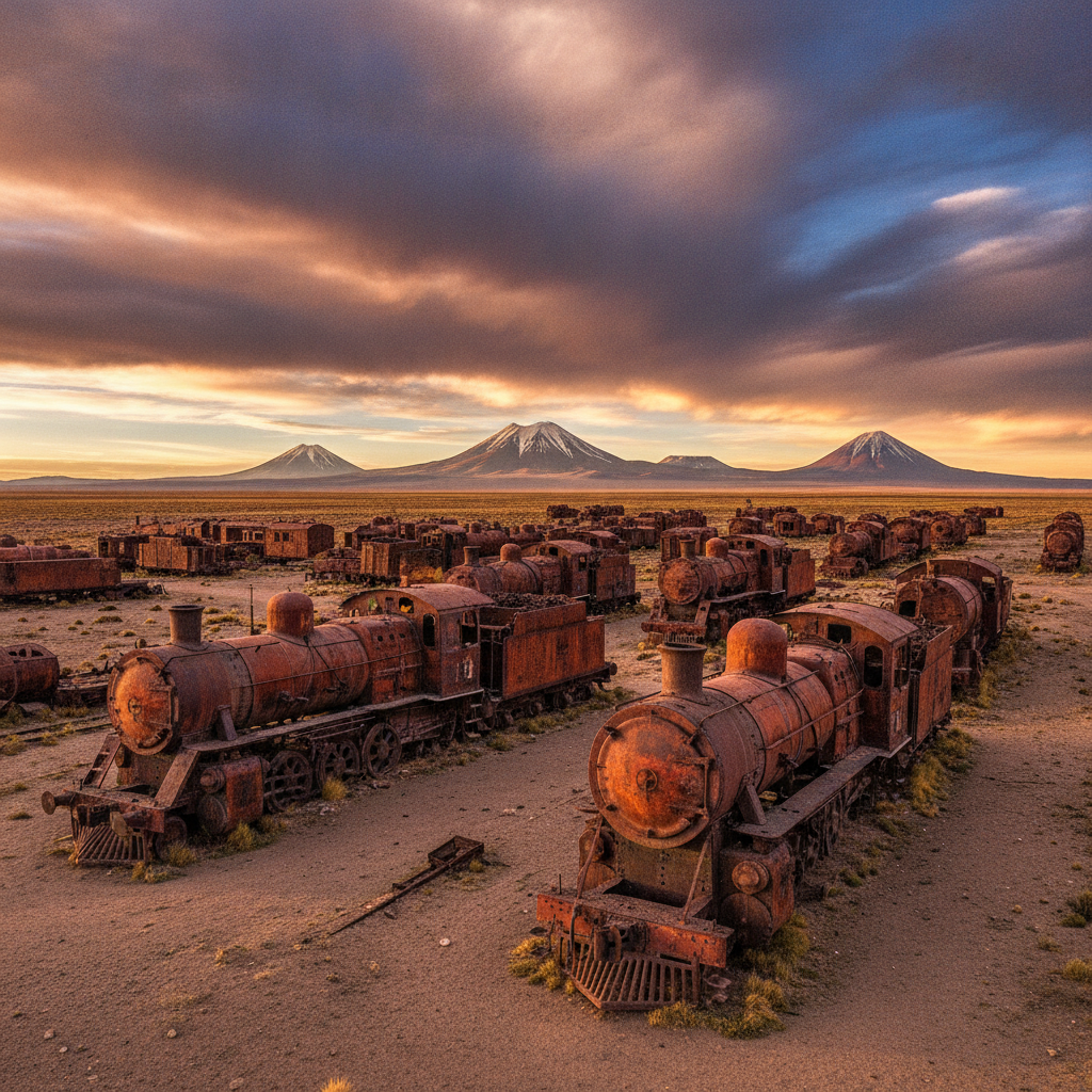
The town of Uyuni was established in 1889 as a railroad junction on the line connecting the Bolivian altiplano to the Chilean port of Antofagasta, built by Chilean capital following the War of the Pacific to extract Bolivian mineral resources through the newly Chilean territory. The town served primarily as a transit point for mineral exports throughout the 20th century and had minimal economic significance beyond its railroad function. The development of the salt flat as a tourist destination began slowly in the 1990s and accelerated dramatically in the 2000s and 2010s as images of the mirror effect and the vast white landscape circulated globally through social media. By the 2010s Uyuni had become one of the most visited destinations in Bolivia, the town infrastructure had transformed around the tourism economy, and the Salar had achieved international recognition as a bucket-list destination. The lithium development prospect adds a new dimension to the local economy with uncertain implications: large-scale lithium extraction would bring industrial employment but could damage the tourism landscape that currently supports thousands of local livelihoods. The tension between these two economic futures is a live political debate in Uyuni and at the national level.
Walk this route with audio
Stories play automatically as you reach each stop — no tapping needed.
More in Salar de Uyuni
Salar de Uyuni Practical Guide: Getting There, Tour Types, Packing, and Safety
Wildlife of the Bolivian Salt Flat Region: Vicunas, Viscachas, and Desert Adaptations

Stargazing at the Salar de Uyuni: One of the Best Night Skies on Earth

Uyuni Tour Logistics: Jeep Tours, Seasons, and the Three-Day Itinerary
Geology of the Bolivian Altiplano: Volcanoes, Minerals, and the Andean Plateau