Salar de Uyuni: The Worlds Largest Salt Flat and Its Volcanic Altiplano Landscape
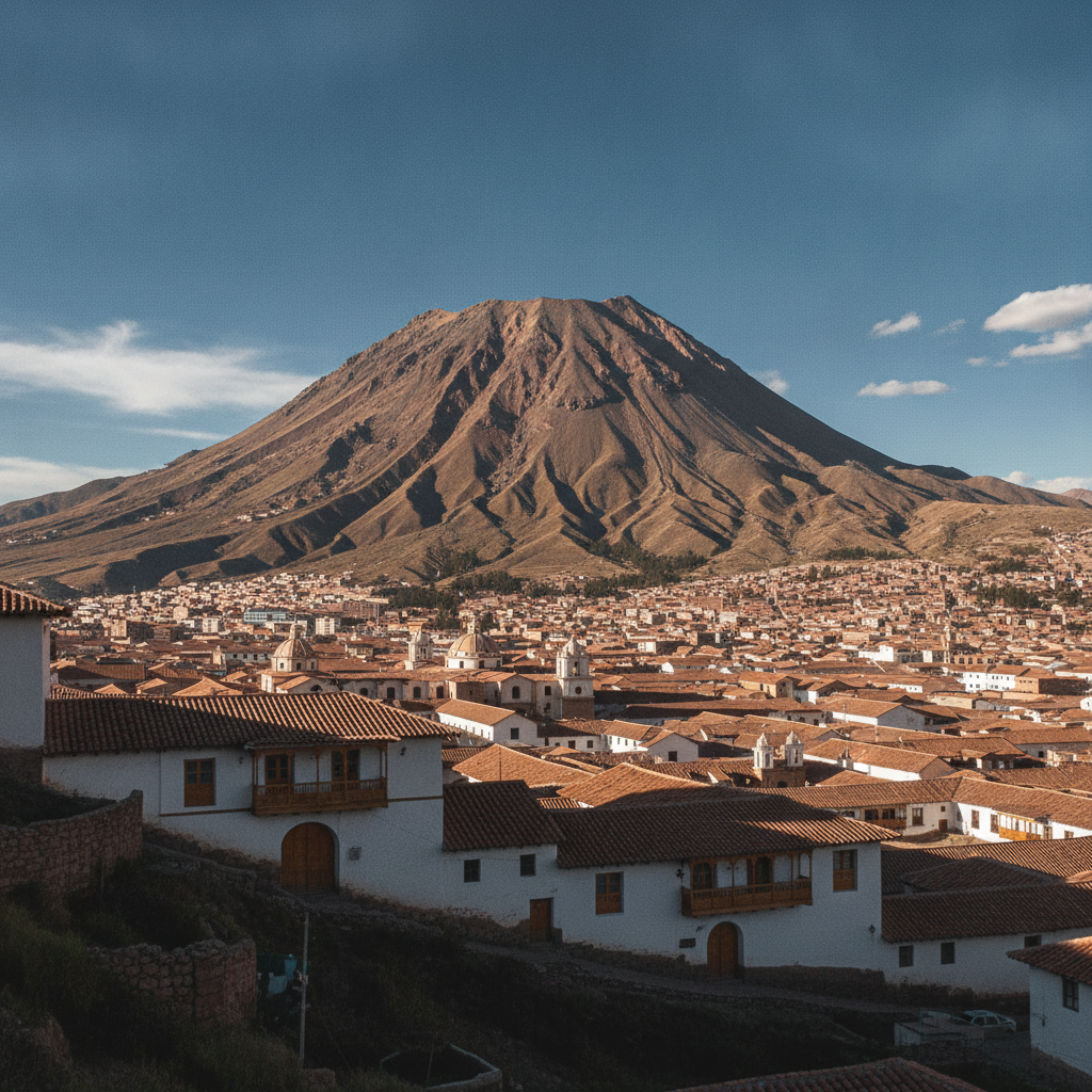
The Salar de Uyuni covers approximately 10,582 square kilometers of the Bolivian altiplano at 3,656 meters altitude, making it by far the largest salt flat in the world and one of the most visually extraordinary landscapes on Earth. The flat formed when a series of prehistoric lakes evaporated, leaving behind a crust of salt and minerals that in the wet season becomes a thin mirror of reflective water and in the dry season reveals its pure white crystalline surface stretching to a horizon that appears to curve with the Earth. The salt flat sits above the worlds largest known lithium reserve, an economic reality that shapes Bolivian national politics. The surrounding region extends into the Eduardo Avaroa Andean Fauna Reserve, which contains high-altitude lagoons in improbable shades of red and green, active geysers, hot springs, and the volcanic peaks of the Bolivian-Chilean border.


1. The Salt Flat: Formation, Scale, and the Mirror Effect
- 1
The Salt Flat: Formation, Scale, and the Mirror Effect
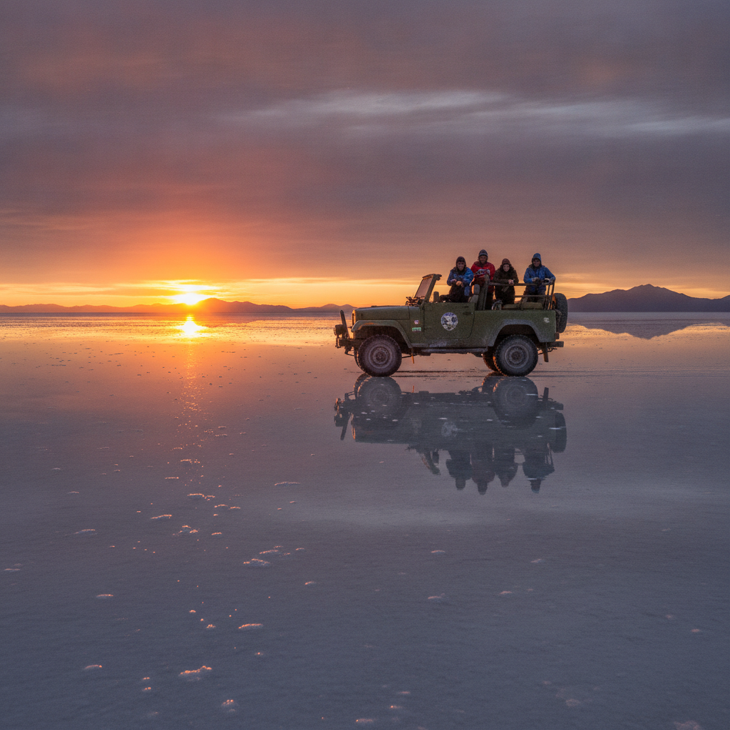
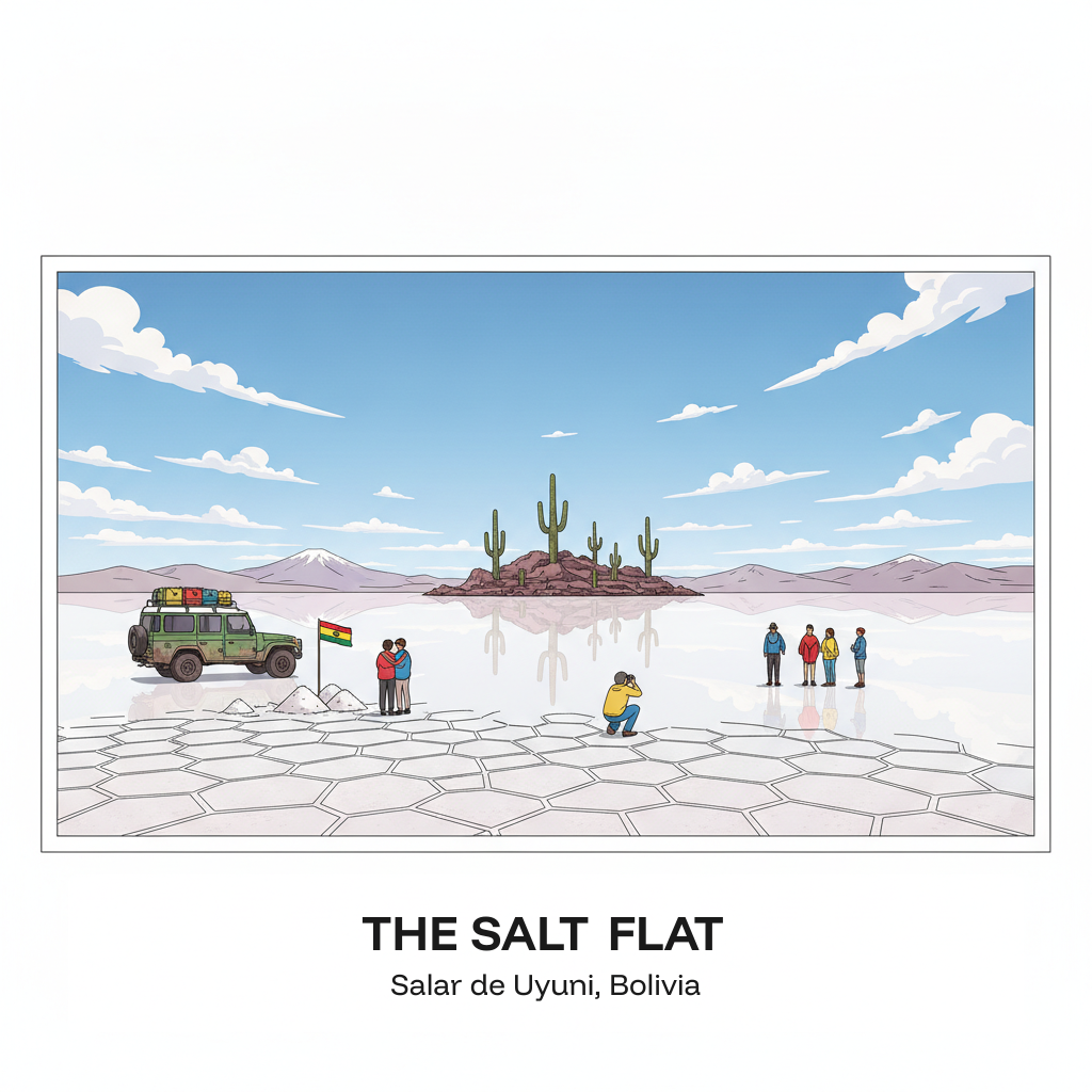
The Salar de Uyuni was formed by the evaporation of a series of prehistoric lakes that covered much of the southwestern Bolivian altiplano during wetter climate periods. The last of these lakes, Lago Minchin and then Lago Tauca, evaporated progressively over the past 30,000 years, leaving behind a thick crust of salt and the mineral brines that remain beneath the surface. The salt crust averages approximately 10 meters deep and contains an estimated 10 billion tons of salt, of which only a small fraction is commercially harvested for the Bolivian domestic market from the Colchani salt processing facility at the northeast edge. The hexagonal polygon pattern visible on the surface of the salt in dry season results from the crystallization process of the brine as it cools and contracts. The mirror effect that makes the salt flat internationally famous occurs in the wet season from approximately November to March when a thin layer of rainwater covers the salt surface, creating a reflection so perfect that the horizon between sky and ground disappears and visitors appear to stand in an infinite sky. Photography in these conditions produces some of the most visually striking landscape images possible anywhere in the world.
- 2
Incahuasi Island: Cacti and Coral Fossils at the Center of the Salt
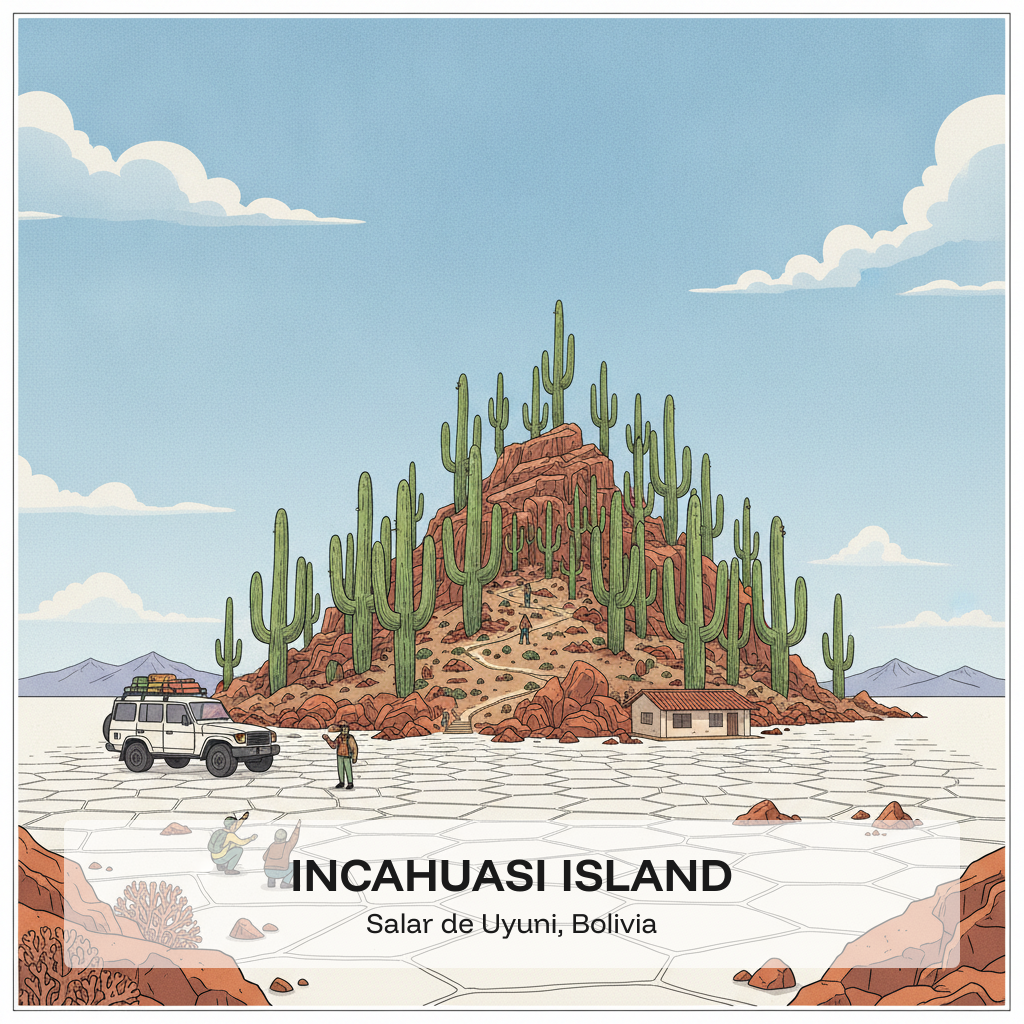
Incahuasi, also called Isla Pescado due to its fish shape when seen from above, is a rocky island rising from the center of the salt flat approximately 80 kilometers from the town of Uyuni, formed from an ancient coral reef that was part of the prehistoric lake floor and now rises several tens of meters above the salt surface. The island is densely covered with giant columnar cacti of the Echinopsis atacamensis species that grow approximately one centimeter per year and reach heights of 10 to 12 meters, meaning the largest individuals are over a thousand years old. The contrast between the ancient cacti on red and orange rocky terrain and the white salt flat stretching to the horizon in every direction makes Incahuasi the most photographed location within the Salar and the standard midpoint stop for all jeep tours crossing the flat. The island also has a small visitor center and walking trail, and the fossilized coral structures at the base of the rock formations demonstrate the prehistoric lake origin of the landscape. Most tours arrive at Incahuasi around midday, so early and late arrivals see the island with far fewer visitors.
- 3
Train Cemetery: The Rusting Locomotives Outside Uyuni
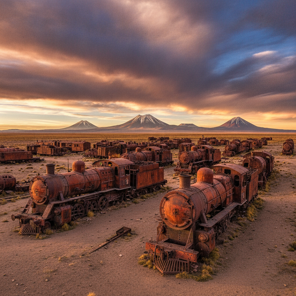
The train cemetery outside the town of Uyuni, approximately three kilometers from the town center on the edge of the salt flat, is one of the most atmospheric industrial ruins in South America and a standard first stop on Salar tours. The site contains dozens of rusting steam locomotives and rail cars abandoned from the late 19th and early 20th centuries when the Bolivian rail network expanded to serve the silver and then tin mining industry in the southwest, and subsequently contracted when the mines declined and the rail lines became uneconomic. The locomotives, many still identifiable by manufacturers markings from British and American builders, sit in rows on rusting tracks and have been progressively weathered and painted with graffiti over the decades; visitors are free to climb on the engines. The atmosphere is enhanced by the flat altiplano landscape, the silence, and the scale of the abandoned machinery. The railway that once ran through Uyuni connected the Bolivian altiplano mining towns to the Chilean Pacific ports, and its abandonment reflects the broader economic history of Bolivian resource dependency and the aftermath of the War of the Pacific that cost Bolivia its Pacific coastline in 1884.
- 4
The Eduardo Avaroa Reserve: Colored Lagoons and Geysers
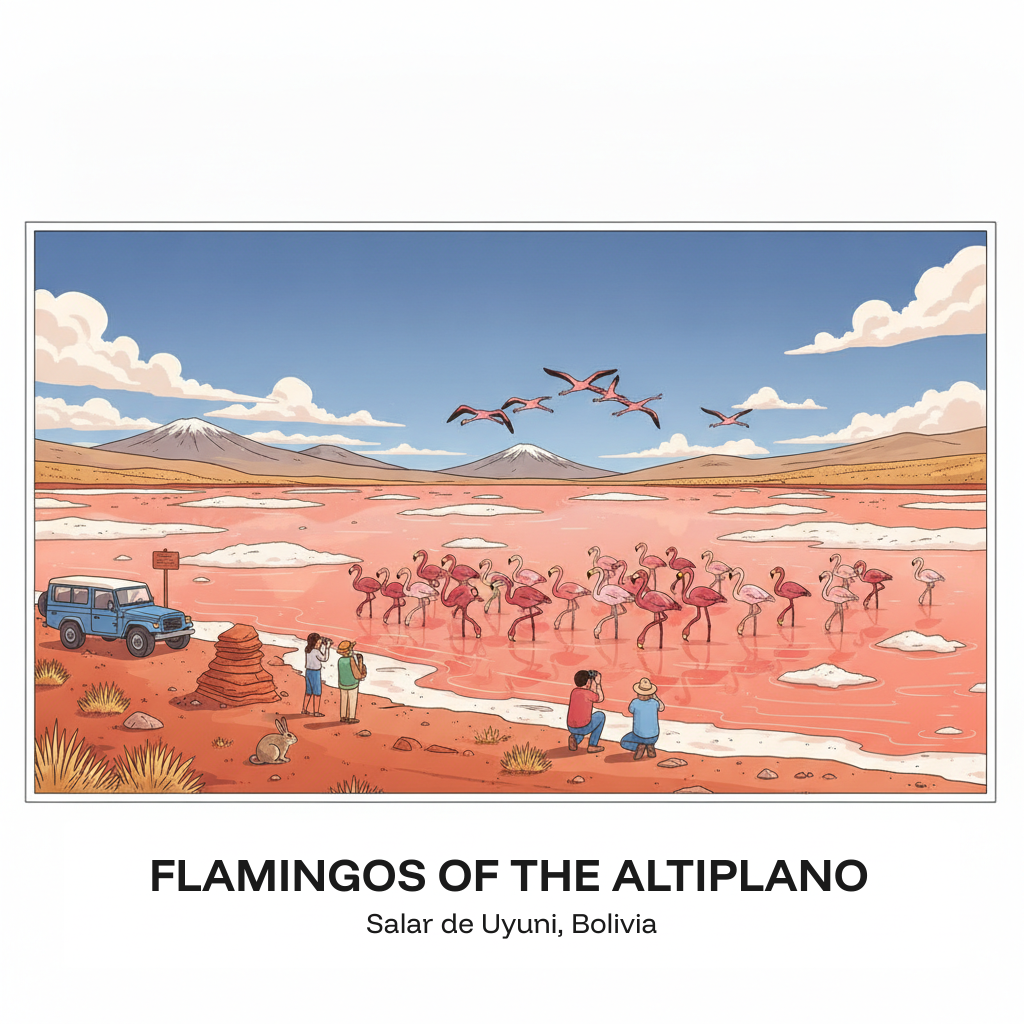
The Eduardo Avaroa Andean Fauna Reserve, adjacent to the Chilean and Argentine borders approximately four hours drive south of the Salar de Uyuni, contains some of the most visually dramatic high-altitude landscapes in the world in a concentrated area accessible on the standard two or three day jeep tour from Uyuni. The Laguna Colorada at 4,278 meters is a shallow lake colored deep red by the algae and minerals in its water, with brilliant white borax islands in the center and flocks of flamingos wading along the shore against the red backdrop. The Laguna Verde at the Chilean border is a vivid emerald green due to copper and arsenic minerals, appearing turquoise in high winds and deep green in calm conditions. The Sol de Manana geyser field at 4,850 meters is the highest major geyser field in the world, with dozens of fumaroles and mud pools active in the morning hours before the geothermal venting diminishes as temperatures rise. Hot spring pools at Termas de Polques allow bathing in geothermal water at approximately 30 degrees Celsius in freezing altiplano air.
- 5
Flamingos of the Altiplano: Three Species in One Landscape
The high-altitude lagoons of the Bolivian altiplano and the Chilean and Argentine puna support three of the worlds six flamingo species, making the region one of the few places where the James flamingo, the puna flamingo, and the Chilean flamingo can all be observed in the same visit. The James flamingo, the rarest of the three and endemic to the puna altiplano of Bolivia, Chile, Peru, and Argentina, was believed extinct until its rediscovery in 1957 and now numbers approximately 100,000 birds concentrated in the Bolivian lagoons. The puna flamingo, the second rarest species, is distinguished by its yellow and black bill and wine-red legs. The Chilean flamingo, the most numerous and widespread of the three, is the standard flamingo of temperate South America. All three species feed on the algae and diatoms that color the lagoons, filtering the water with their specialized inverted-feeding bills. The Laguna Colorada in the Eduardo Avaroa Reserve is the single most important breeding and feeding site for the James and puna flamingos, with populations in the tens of thousands present during the breeding season from November to February.
- 6
Lithium and the Future of the Salt Flat
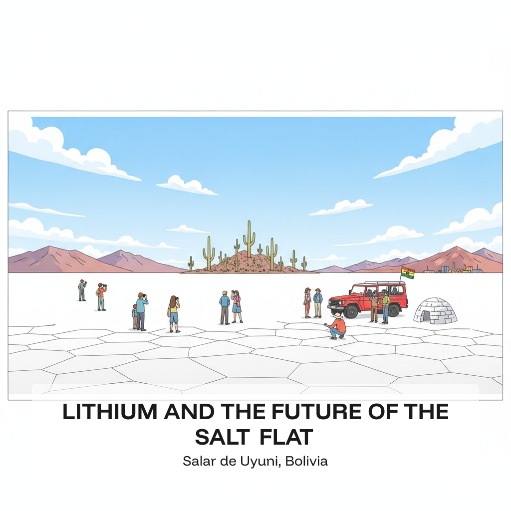
The Salar de Uyuni sits above the worlds largest known lithium reserve, estimated at 21 million tons of lithium metal, representing approximately 50 to 60 percent of the global known resource. Lithium is the critical mineral in lithium-ion batteries used in electric vehicles and energy storage, and the growth of the electric vehicle industry has dramatically increased global interest in Bolivian lithium from the 2010s onward. The Bolivian government adopted a nationalist approach to lithium development, refusing to grant extraction rights to foreign companies under the same terms offered in neighboring Chile and Argentina, insisting instead on state-controlled development and value-added processing within Bolivia rather than exporting raw ore. The state lithium company YLB has operated pilot facilities at the Salar, and Bolivia has signed agreements with Chinese and Russian companies for development partnerships, though full-scale production has been slower to develop than initially projected. The tension between lithium development and the tourism and environmental values of the Salar is a live political issue in Bolivia, as large-scale industrial extraction would significantly alter the landscape that makes the region internationally significant.
Walk this route with audio
Stories play automatically as you reach each stop — no tapping needed.
More in Salar de Uyuni
Salar de Uyuni History: Pre-Columbian Peoples, Colonial Routes, and Bolivian Independence
Salar de Uyuni Practical Guide: Getting There, Tour Types, Packing, and Safety
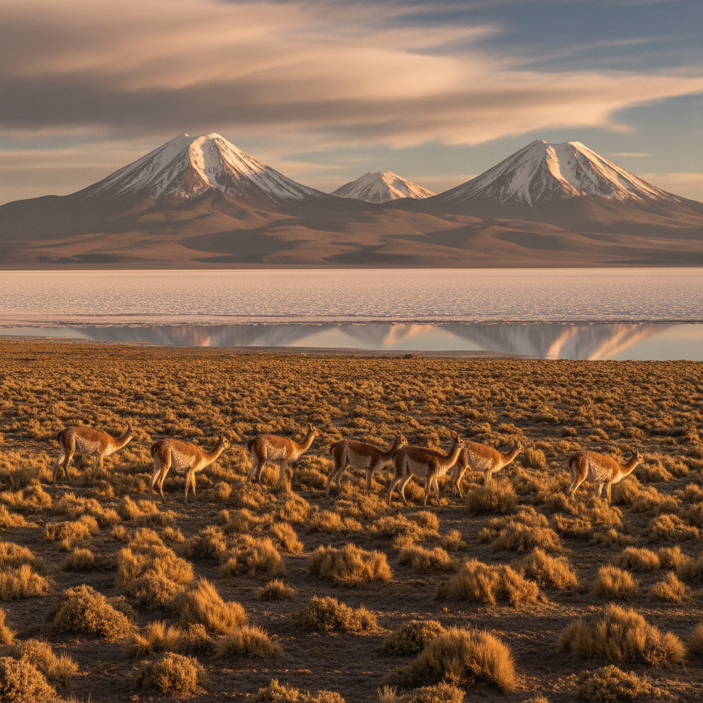
Wildlife of the Bolivian Salt Flat Region: Vicunas, Viscachas, and Desert Adaptations
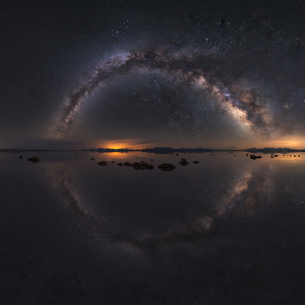
Stargazing at the Salar de Uyuni: One of the Best Night Skies on Earth
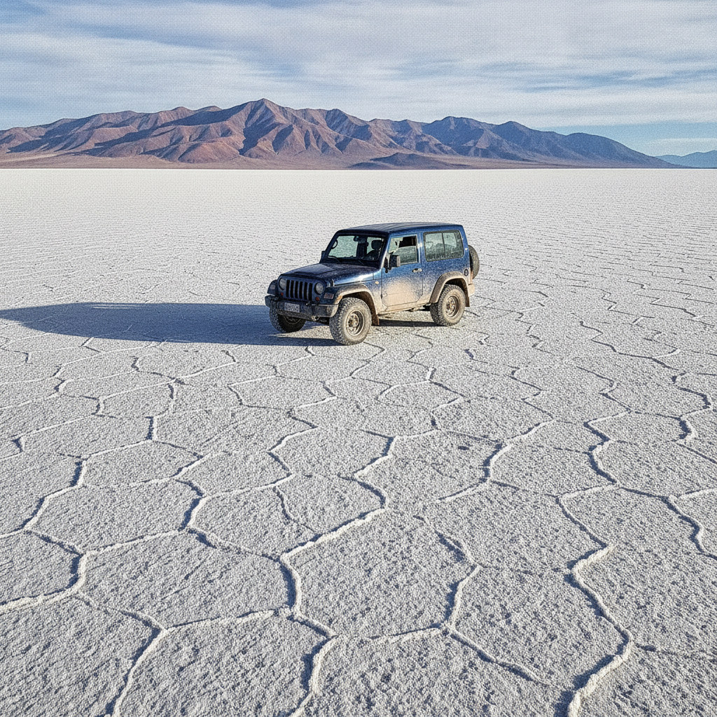
Uyuni Tour Logistics: Jeep Tours, Seasons, and the Three-Day Itinerary