Koh Tao Hiking & Hidden Bays Walk
Hike Koh Tao's interior — the island's granite hill interior and its irregular eastern coastline of hidden coves and viewpoints provide the most adventurous land-based exploration available on any of the Gulf of Thailand resort islands.
- 1
Cross-Island Track
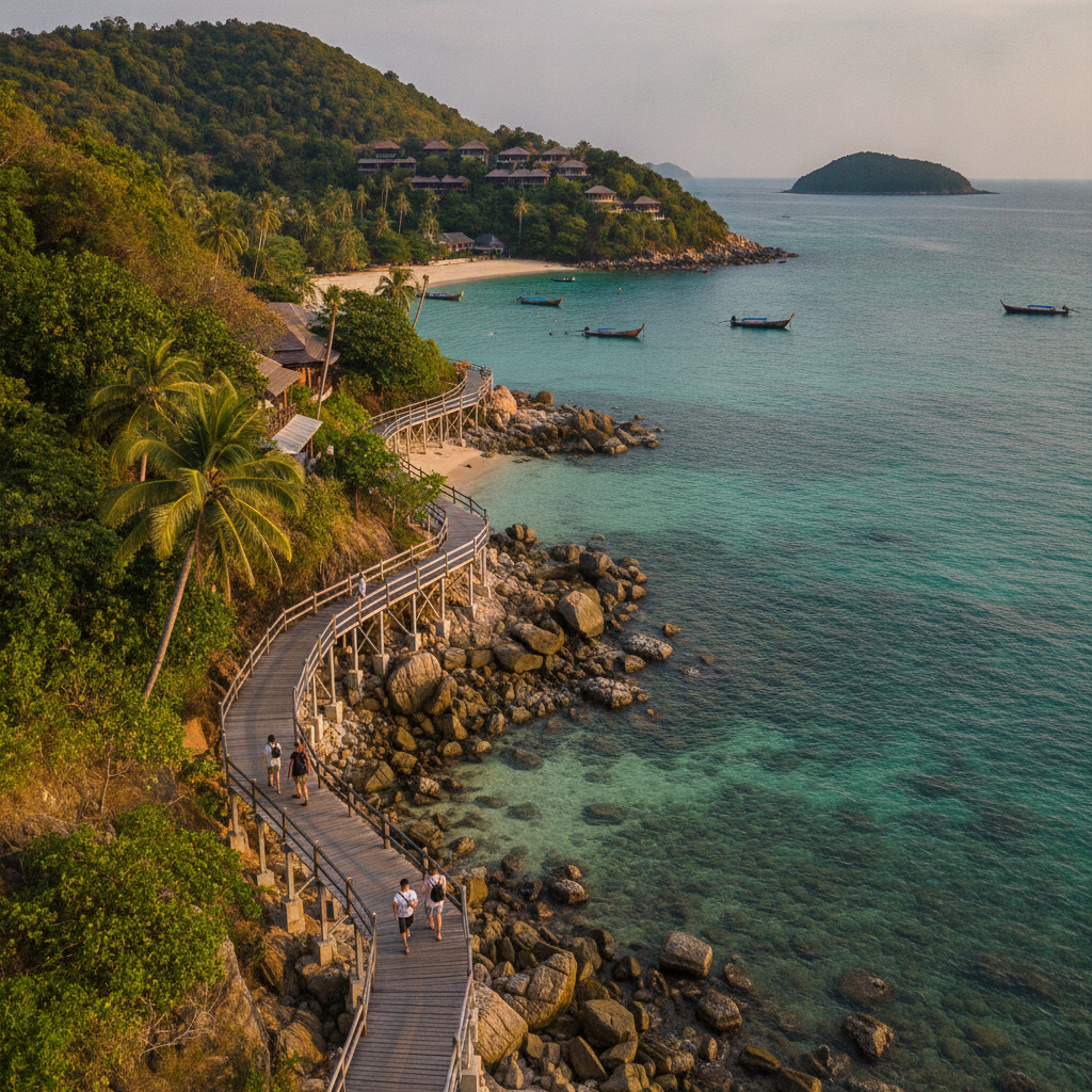
The cross-island track connecting Mae Haad on the western coast to Chalok Bay on the southern coast and Hin Wong on the eastern coast provides the most comprehensive single hiking route accessible from the Koh Tao resort base — the unpaved track climbing through the central granite hills passes the viewpoint (30 minutes from Mae Haad), the interior forest with its monitor lizards and bird life, and the concrete-paved sections descending to the south and east coasts. The cross-island walk (about 5km total, with branching paths to different eastern coast destinations) takes 1.5-2 hours and provides the only accessible interior experience of the island's topography for visitors without motorbikes.
- 2
Tanote Bay Remote Beach
Tanote Bay on Koh Tao's eastern coast is the most accessible of the island's eastern coves for visitors without motorbikes — the longtail boat taxi service from Mae Haad (departing on request) reaches the bay in 15 minutes, depositing visitors at the small beach with its handful of beach bungalow operations and the snorkel reef directly accessible from the shore. The bay's eastern exposure means the water is clearest in the calm weather of the dry season (February-September) when the northeast monsoon has passed, and the reef visibility (up to 15 metres in the best conditions) is the highest accessible from any easily reachable Koh Tao bay.
- 3
John Suwan Viewpoint
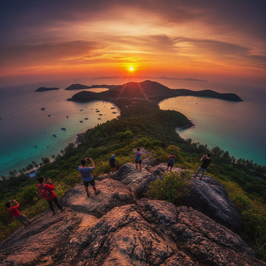
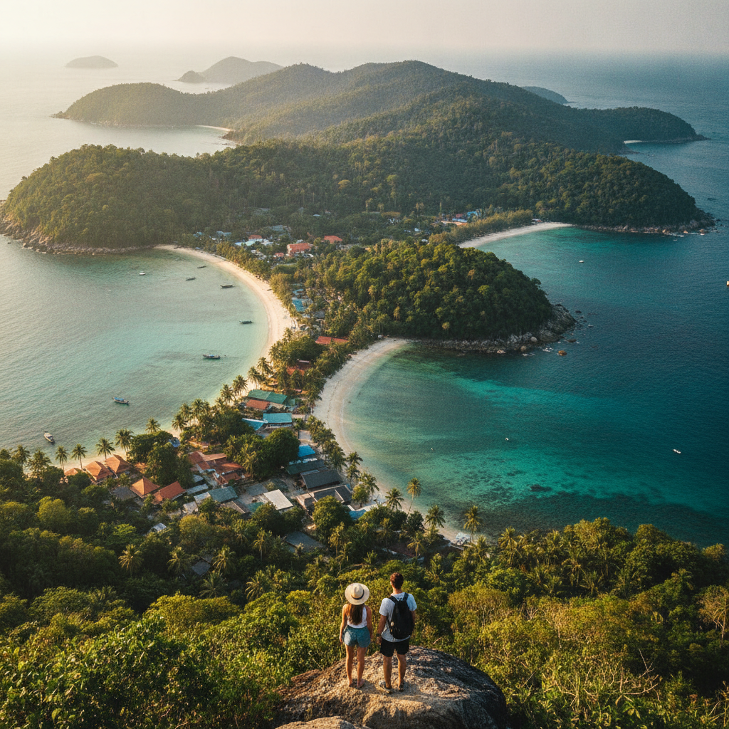
The John Suwan viewpoint on the southern headland above Chalok Bay is accessed by a steep 20-minute hike from the Chalok Bay beach road — the granite outcrop at the top provides one of the most dramatic viewpoints on the island, looking south over Chalok Bay, west to the open Gulf of Thailand, and north to the main Sairee beach resort area. The view from John Suwan in the clear conditions of the dry season (when the horizon visibility is greatest) reveals the full extent of the Gulf of Thailand in both directions, with Koh Phangan and Koh Samui visible to the south and the bulk of the Thai mainland visible to the east.
- 4
Nang Yuan Viewpoint Hike
The hike to Koh Nang Yuan's viewpoint (the famous image of the sand bar connecting the three islands visible from above) starts from the day-trip landing point on the island and climbs through the rocky hillside vegetation to the summit — the viewpoint (accessible in 20-30 minutes from the landing beach) provides the most reproduced landscape photograph in the Gulf of Thailand, with the twin sandbars connecting the three islands visible in their full hourglass shape and the turquoise enclosed lagoon water providing the colour contrast against the forest-covered island slopes. The climb in the mid-morning heat before the day-tripper crowds arrive (the first boats from Koh Tao typically arrive at 9am) provides the viewpoint experience in more comfortable conditions.
- 5
Eastern Coast Exploration
The eastern coast of Koh Tao, accessible by the concrete road that winds from the central island junction to Hin Wong Bay and Tanote Bay, provides the most adventurous motorbike exploration on the island — the road's steep and winding character (requiring a confident motorbike rider and appropriate footwear rather than the flip-flops and shorts of the beach resort), the views of the eastern coast coves and headlands visible from the road, and the dramatically different character of the eastern coast from the western resort strip (wilder, rockier, with fewer tourist operations and more natural vegetation) create the most complete contrast experience of the island's two characters accessible in a half-day excursion.
- 6
Hidden Lagoon Trail
The trail to the hidden lagoon at the island's northeastern section (accessible from the north coast road) leads through secondary forest to a small enclosed tidal pool trapped between granite boulders — the lagoon (accessible only at high tide when the water level fills the boulder basin) is not visible from the road or from the sea and requires the trail knowledge to locate. The discovery of hidden natural features (the swim-throughs, the cave pools, the rock arches accessible only by water) is the defining characteristic of the terrestrial exploration of Koh Tao for the visitor who goes beyond the beach and dive shop environment.
Walk this route with audio
Stories play automatically as you reach each stop — no tapping needed.