Noosa Biosphere Hinterland Walk
Explore the Noosa Biosphere Reserve hinterland — a UNESCO recognised landscape combining national parks, conservation areas, and working farms in the Noosa River catchment behind the beach resort.
- 1
Kin Kin Hinterland Village
Kin Kin is the quintessential Noosa hinterland village — a small community in a green valley surrounded by dairy farms, macadamia orchards, and remnant rainforest on the basalt hills above the Noosa River headwaters.
- 2
Cooloola Section Entry
The Cooloola section of Great Sandy National Park protects the largest area of wallum (coastal heath) in Queensland — a rare ecosystem of high biodiversity that forms part of the Noosa Biosphere buffer zone.
- 3
Coloured Sands of Teewah
The Teewah Coloured Sands are a natural geological feature — the coloured layers in the sand cliffs represent different periods of deposition, creating a striped multicolour cliff face above the beach.
- 4
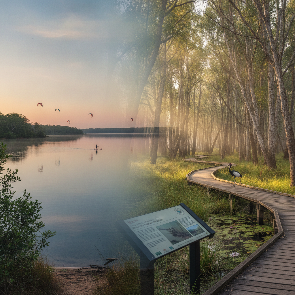
Lake Cootharaba Wetlands
The wetlands around Lake Cootharaba are the most productive bird habitat in the biosphere — water birds in their thousands use the shallow lake and surrounding wetlands during the dry season.
- 5
Noosa River Headwaters Walk
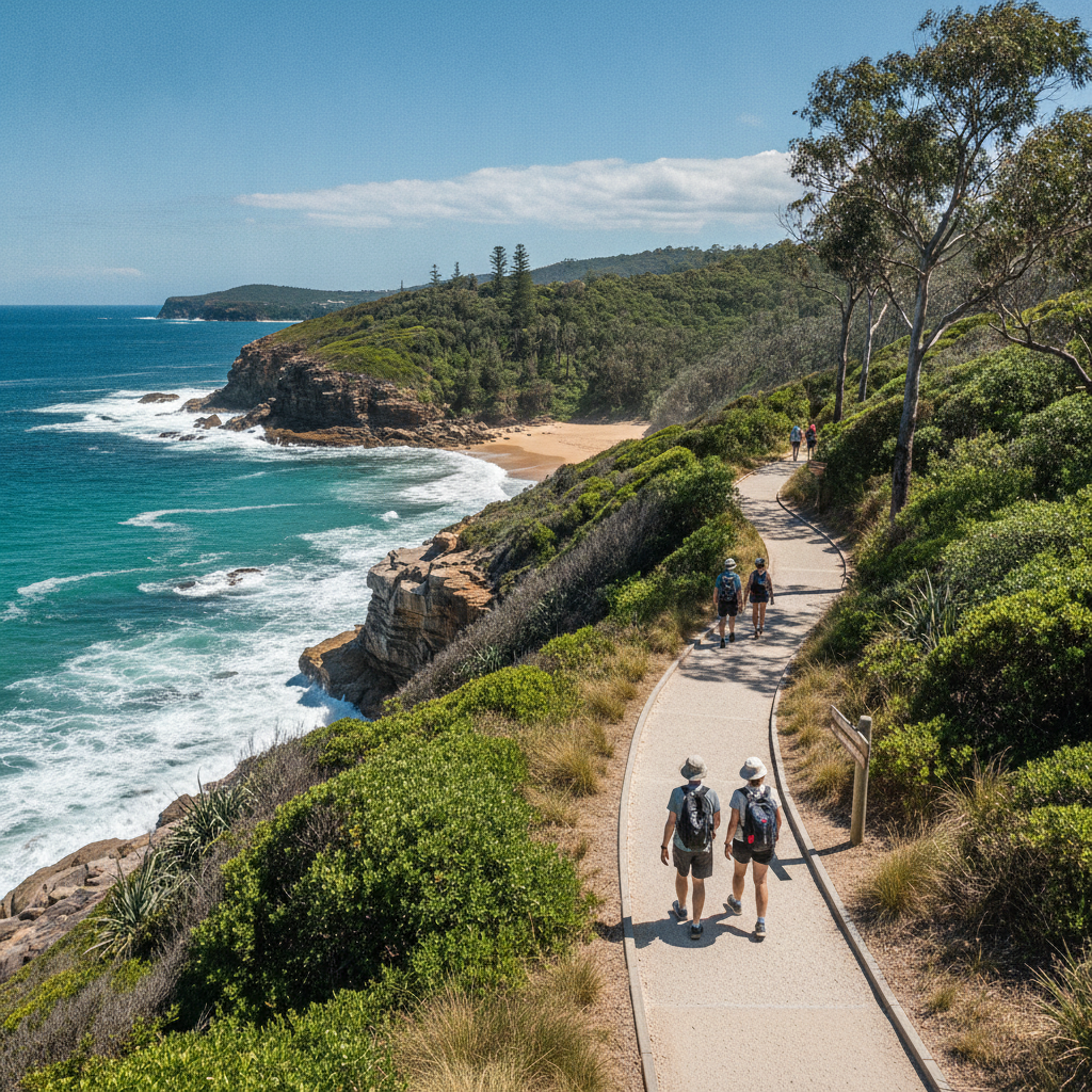
Walking in the upper Noosa River catchment reveals the origin of the clear, tannin-coloured water that flows through the everglades — the tea-tree scrub and heath that line the headwater streams give the water its colour.
- 6
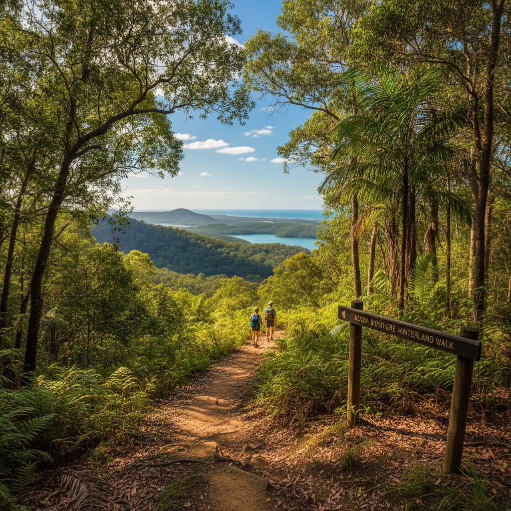
Biosphere Reserve View
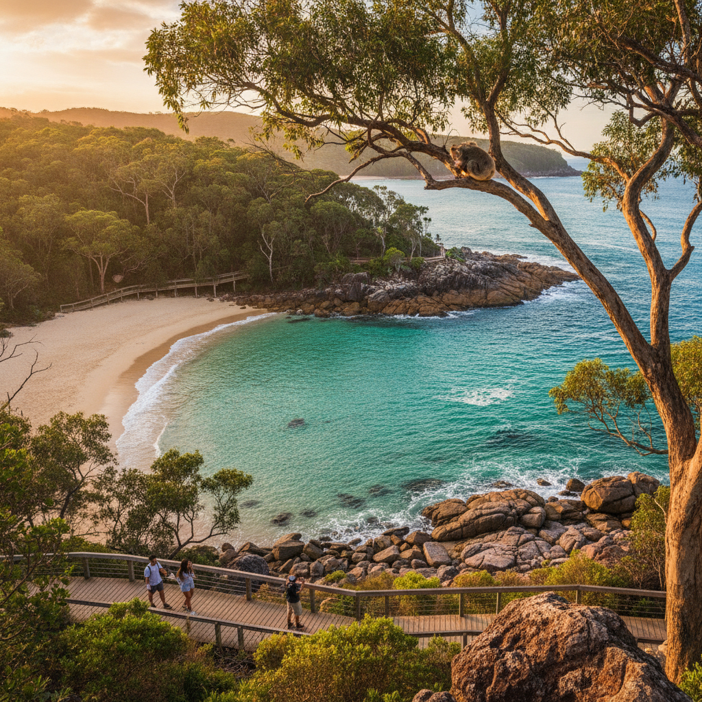
A high point in the biosphere gives a view that encompasses beach, river, lake, heath, and hinterland — the UNESCO recognition of Noosa as a working biosphere where tourism and conservation coexist is visible in this panorama.
Walk this route with audio
Stories play automatically as you reach each stop — no tapping needed.