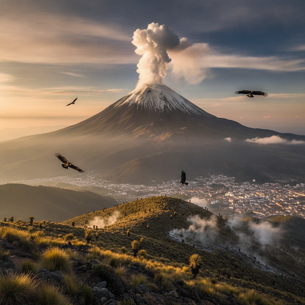
Volcán Puracé: The Active Volcano Above Popayán
The Volcán Puracé — an active stratovolcano 30 km from Popayán, part of the Los Coconucos volcanic chain — is accessible for trekking through páramo to the crater edge; the volcano, the hot springs, and the Andean condors create an extraordinary high-altitude experience
- 1
Volcán Puracé crater walk
The trail to the Puracé crater rim - from the park entrance at 3,500 m to the summit at 4,756 m - passes through páramo, volcanic deposits and sulphurous fumarole fields near the summit; the guided day hike is strenuous but accessible to hikers
- 2
Hot springs at Pilimbalá
The hot springs at Pilimbalá — near the entrance to Puracé Park — are heated by the volcano's geothermal activity; the 3,200 m basins, surrounded by frailejón páramo vegetation, are less developed than the Santa Rosa de Cabal thermals but more dramatic in their volcanic context
- 3
Andean Condor Soaring
The thermal currents of the Puracé volcano attract Andean condors — the birds use the volcanic heat to soar effortlessly; observing condors at eye level from the rim of the volcano is one of the most remarkable wildlife experiences in the Andes
- 4
Los Coconucos Volcanic Range
Puracé is the westernmost of the Los Coconucos volcanic chain - a line of 11 volcanoes that extends into the department of Huila; the entire chain can be traversed on a multi-day hike through extraordinary volcanic landscapes at high altitude
- 5
Puracé National Park Lagoons
Puracé National Natural Park has several high altitude glacial lagoons - Laguna de la Magdalena (source of the Magdalena River), Laguna del Buey and others; The headwaters of the Magdalena - the source of Colombia's largest river - appear as springs at 3,500 m
- 6
The source of the Magdalena River
Laguna de la Magdalena in the Puracé Park is where Colombia's largest river—the 1,528 km Magdalena—begins as a source emerging from the páramo; standing at the source of the river that defines Colombia's geography and history is a profound experience
Walk this route with audio
Stories play automatically as you reach each stop — no tapping needed.
More in Popayán
Popayán Semana Santa: The Most Solemn Holy Week in America
Popayán's Colonial Churches: A City of Faith and Art
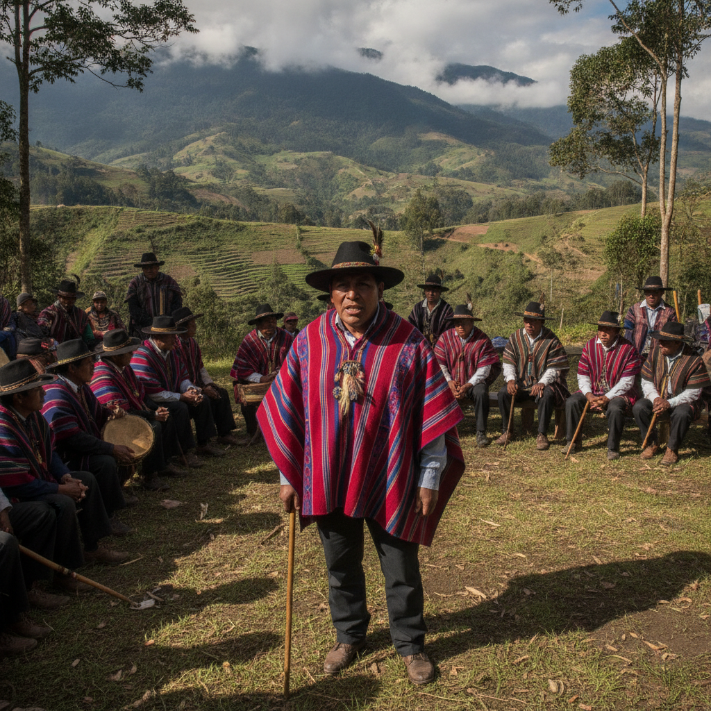
Nasa-Páez: Cauca's Indigenous Guardians
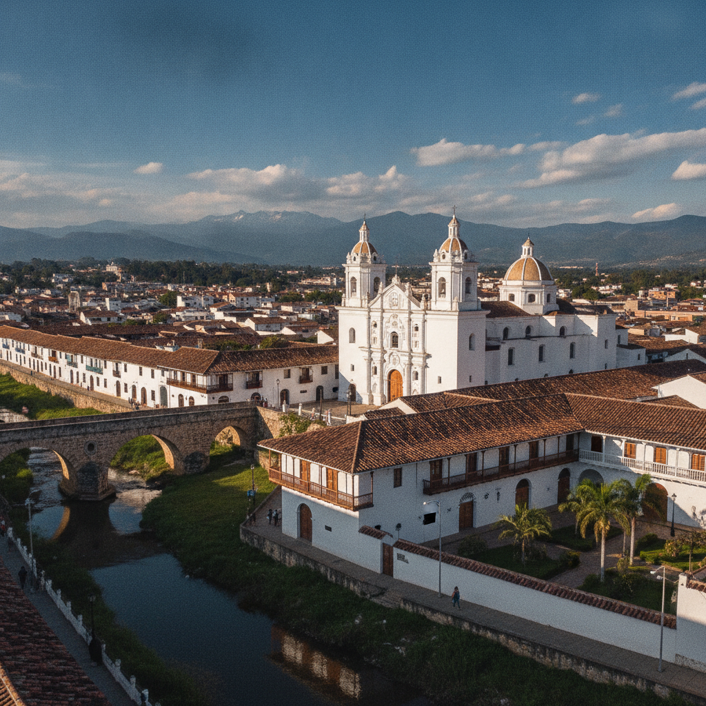
Popayán: Colombia's White City of Colonial Grandeur
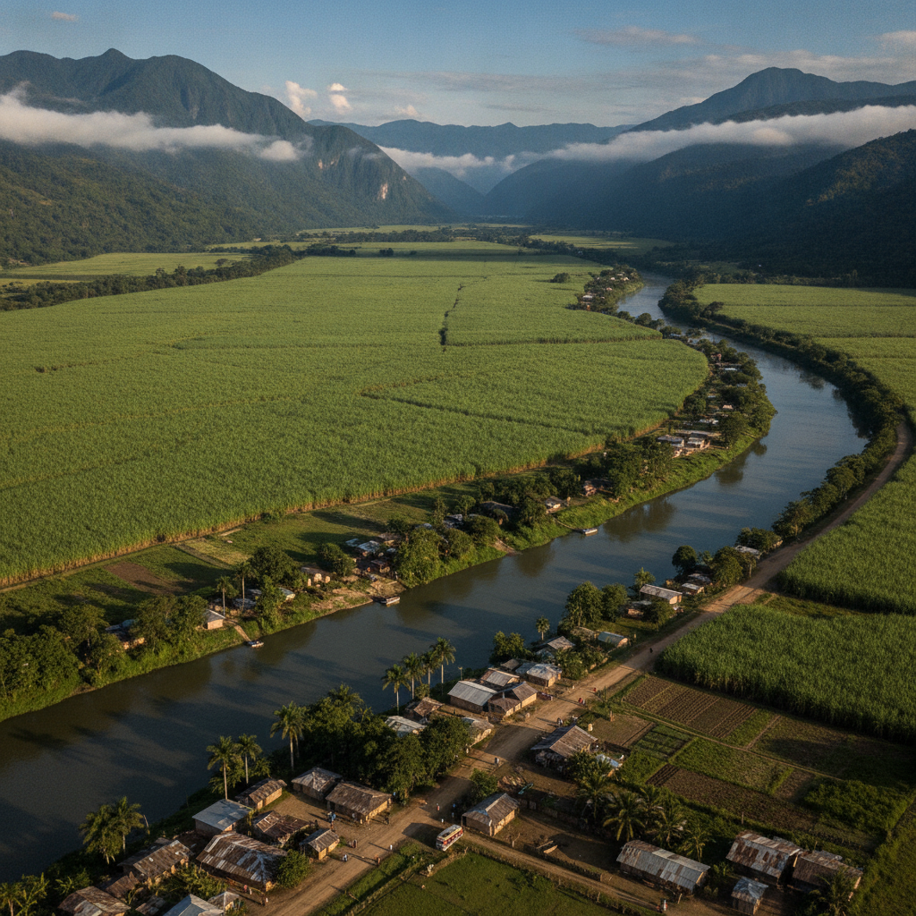
Cauca Valley: Sugar, Struggle & Afro-Colombian Heritage