Langkawi UNESCO Geopark Mangrove Walk
Explore the Langkawi UNESCO Global Geopark — the archipelago of 99 islands was designated as Asia's first UNESCO Global Geopark in 2007 for its exceptional geological heritage, and the mangrove kayaking tours, limestone cave systems, and ancient rock formations provide a nature experience complementing the beach resort character of the island.
- 1
Kilim Geoforest Park Entrance
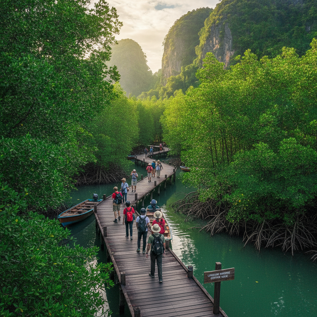
The Kilim Karst Geoforest Park on Langkawi's northeast coast is the most accessible part of the UNESCO Geopark — the boat tours entering the mangrove river system from the Kilim jetty navigate through channels between ancient limestone outcrops draped in mangrove forest, passing eagle feeding stations where white-bellied sea eagles descend to take fish, and progressing into the cave systems carved through the limestone karst by centuries of tidal action. The boat journey through the mangrove channels is the most popular nature experience in Langkawi.
- 2
Mangrove Kayaking Channels
The mangrove kayaking routes in Langkawi's protected geopark channels provide access to the intricate waterway environment that boat tours navigate at speed — paddling slowly through the narrow mangrove creeks allows close observation of the mudskippers, fiddler crabs, archerfish, and the various bird species that use the mangrove tidal zone. The experience of moving silently through a tunnel of mangrove roots with the limestone karst rising above provides one of the most atmospheric nature experiences available in Malaysian island tourism.
- 3
White-Bellied Sea Eagle Feeding
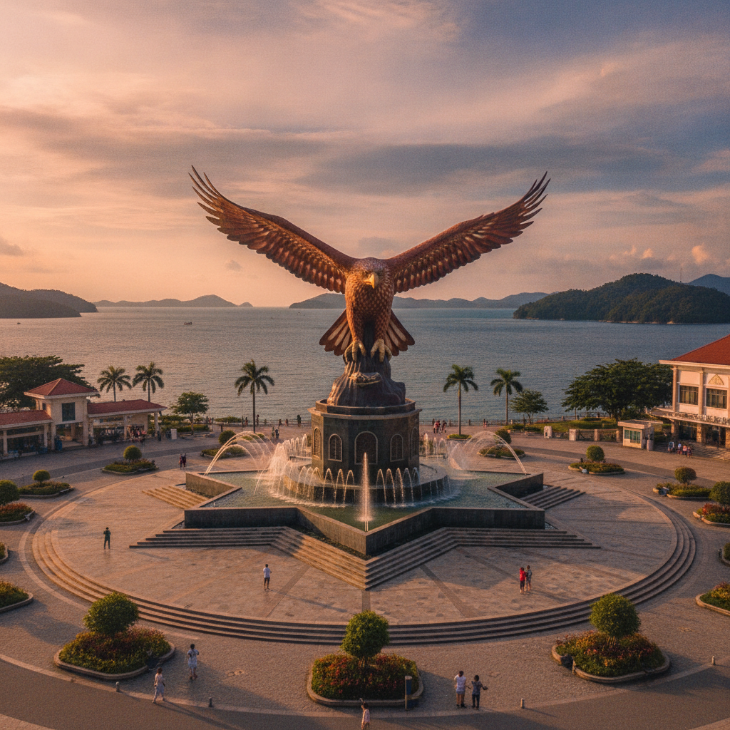
The white-bellied sea eagle feeding at designated spots in the Kilim mangrove is one of Langkawi's most iconic wildlife experiences — the large raptors with their distinctive white heads and underwings descending to collect fish thrown from the tour boats have become a symbol of Langkawi (the island's name is derived from the Malay word for the eagle, 'helang'). The eagle feeding, while involving habituation of wild birds, has created a reliable wildlife encounter and contributed to the conservation awareness around the eagle population that uses Langkawi's mangrove and coastal habitats.
- 4
Gua Cerita Cave Heritage
Gua Cerita (Cave of Legends) accessible by boat from the Kilim estuary contains ancient cave art and inscriptions — the cave carved through the limestone karst above the mangrove system has Siamese inscriptions and drawings that document the historical cultural connection between Langkawi and the Siamese kingdom before British colonisation incorporated the island into the Federated Malay States. The cave's combination of geological interest (the karst formation process) and historical significance makes it one of the most important sites in the Langkawi Geopark.
- 5
Langkawi Geological Heritage
Langkawi's geological heritage spans 550 million years, from some of the oldest rocks in Southeast Asia to recent geological formations — the three geopark zones (Machinchang Cambrian Geoforest Park, Kilim Karst Geoforest Park, and Dayang Bunting Marble Geoforest Park) document different periods of the earth's geological history visible in the rock formations of the island. The Cambrian sandstone of the Machinchang Formation at the island's northern tip is among the oldest exposed rock in Malaysia, predating the limestone karst of the Kilim area by hundreds of millions of years.
- 6
Dayang Bunting Lake Island
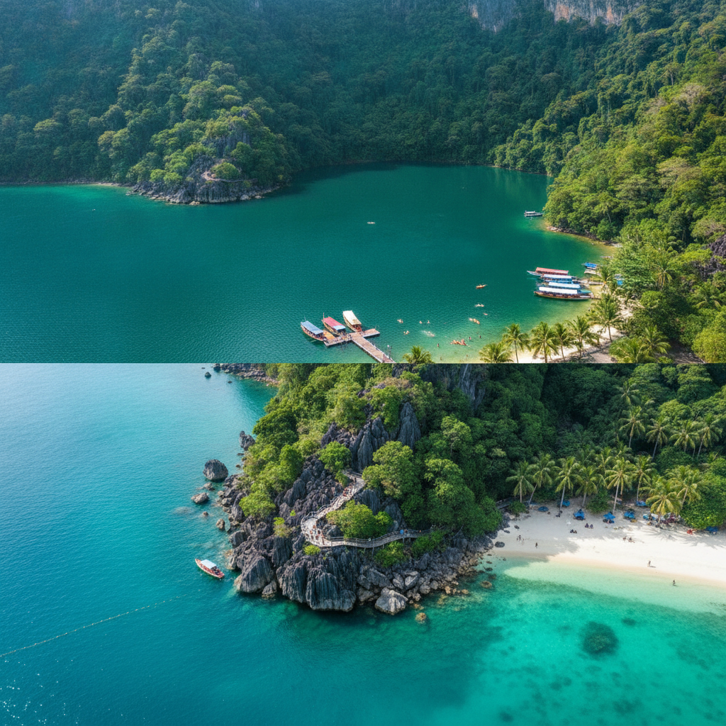
Pulau Dayang Bunting (Island of the Pregnant Maiden) in the southern Langkawi archipelago contains a large freshwater lake enclosed within an island ringed by limestone hills — the lake formed when a limestone cave roof collapsed to create a depression now filled with fresh rainwater despite being surrounded by sea is named for the silhouette of the hills that resembles a pregnant woman lying down. The boat trip from Langkawi's main island to Dayang Bunting passes through the southern island chain and arrives at a freshwater lake in the middle of the sea that is one of Malaysia's most unusual natural features.
Walk this route with audio
Stories play automatically as you reach each stop — no tapping needed.