Multan Chenab River and Punjab Riverine Landscape
Explore the rivers that define Multan's geography — the Chenab river that flows near the city and the canal irrigation system that has transformed the surrounding Punjabi plain from a semi-arid landscape into Pakistan's most productive agricultural zone, the engineering of water management visible in the headworks and the canal towns that have grown around the distribution system.
- 1
Chenab River Bank
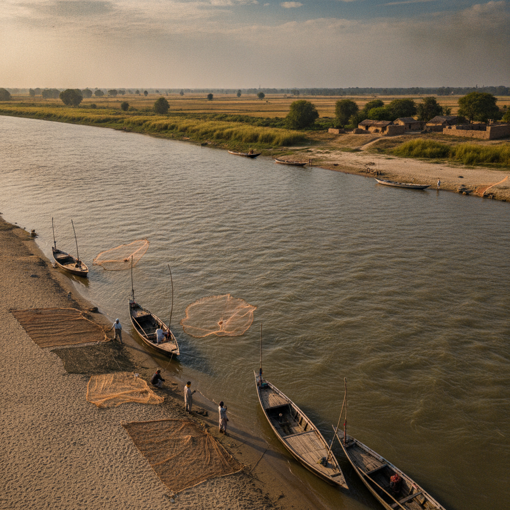
The bank of the Chenab river south of Multan — the great Punjab river that defines the geography of the region, the river bank where local fishermen work and where the flat plains of the Punjab extend to the horizon in every direction, the river's seasonal flooding historically the source of the soil fertility that made Multan a great agricultural center.
- 2
Head Islam Barrage
The major barrage on the Chenab upstream from Multan — the hydraulic engineering work that controls the river flow and distributes water into the vast canal irrigation system serving millions of acres of Punjab farmland, the colonial-era engineering expanded and maintained as Pakistan's agricultural lifeline.
- 3
Canal Irrigation System View
The view of the main canal carrying Chenab water into the cultivated landscape — the engineering of Punjab's canal colonies visible in the straight lines of irrigation channels cutting through the agricultural plain, the system that transformed arid scrubland into the breadbasket of Pakistan in the late 19th and early 20th centuries.
- 4
Sugarcane Fields
The sugarcane fields that surround Multan — the dominant crop of the Multan district whose harvest feeds the large sugar mills of southern Punjab, the tall cane visible above head height in the harvest season, the mills' chimney stacks marking the location of the processing centers in the flat landscape.
- 5
Cotton Gin Villages
The villages where cotton — Pakistan's most important industrial crop — is ginned and baled for transport to the textile mills of Faisalabad and Lahore, the agricultural processing landscape of the cotton economy that has defined southern Punjab since the British colonial period.
- 6
River Dolphin Habitat
The stretch of the Indus river system near Multan that is one of the last habitats of the Indus river dolphin — the endangered freshwater dolphin that once ranged throughout the Indus river system now restricted to fragmented stretches, the wildlife conservation efforts in the river system one of Pakistan's most significant environmental programs.
Walk this route with audio
Stories play automatically as you reach each stop — no tapping needed.
More in multan

Multan Sufi Music and Qawwali Nights
Multan Extreme Heat and Summer Desert Experience
Multan Pre-Partition Hindu and Sikh Heritage
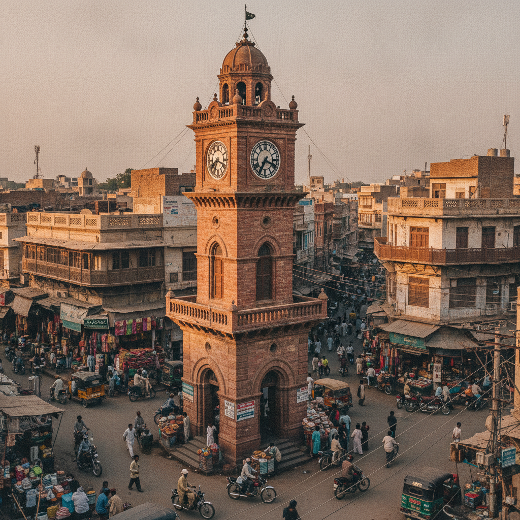
Multan Ghanta Ghar Clock Tower and Historic Bazaars
Multan Mango Capital of Pakistan Food Experience