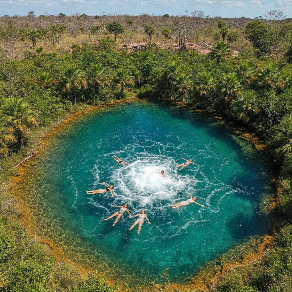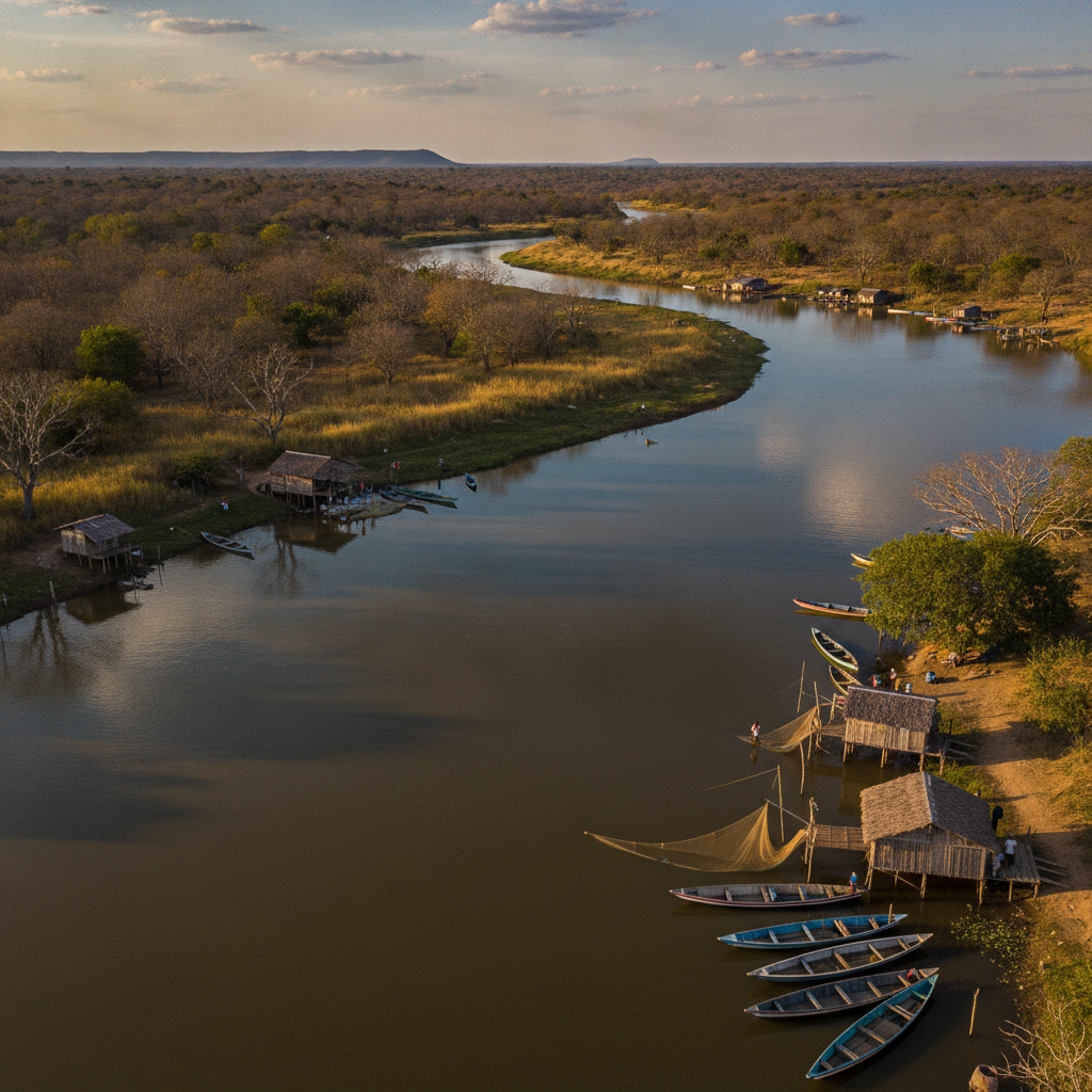
Tocantins River: The Waterway That Created Palmas
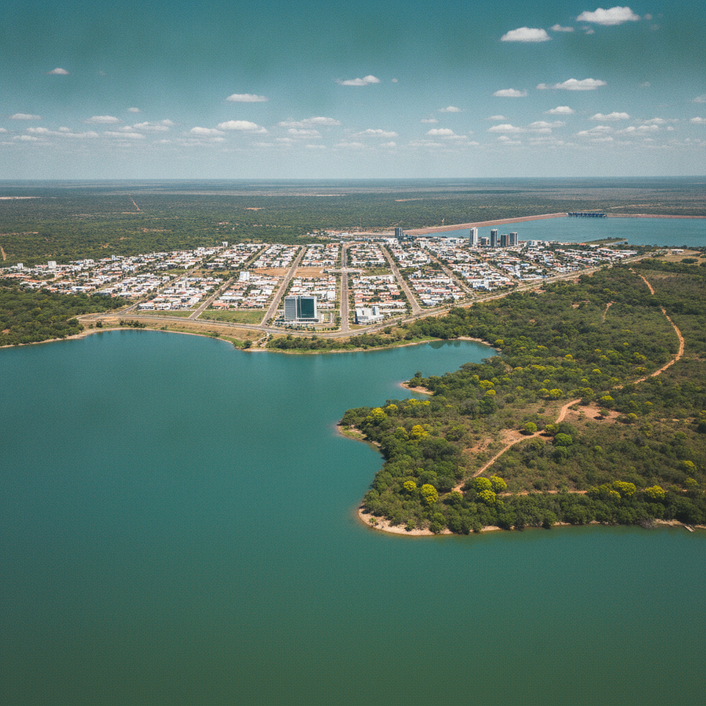
The Tocantins River — dammed to create the lake that surrounds Palmas — was the original reason for the city's location; the river's history, ecology, and the communities it sustained before the dam define the region's identity
- 1
Pre-Dam Tocantins Communities
The dam that created Lake Palma flooded the towns of Paranã, Peixe and dozens of riverside communities; the displaced populations and their underwater history are the shadow behind the lake's recreational culture
- 2
Bico do Papagaio
Bico do Papagaio – the northernmost region of the Tocantins – is where the Araguaia and Tocantins rivers join; the region's indigenous peoples and its political history of land conflicts make it a complex social geography
- 3
Araguaia River Meeting
The Araguaia River joins the Tocantins at the top of the Tocantins state - the confluence creates the great ilha do Bananal, the world's largest river island; the island has indigenous territories and extraordinary wildlife
- 4
Ilha do Bananal River Island
Ilha do Bananal — the world's largest river island, formed between Araguaia's two canals — is partially protected as Araguaia National Park; the island's indigenous peoples (Javaé, Karajá) maintain their cultures here
- 5
Karajá Domestic ceramics
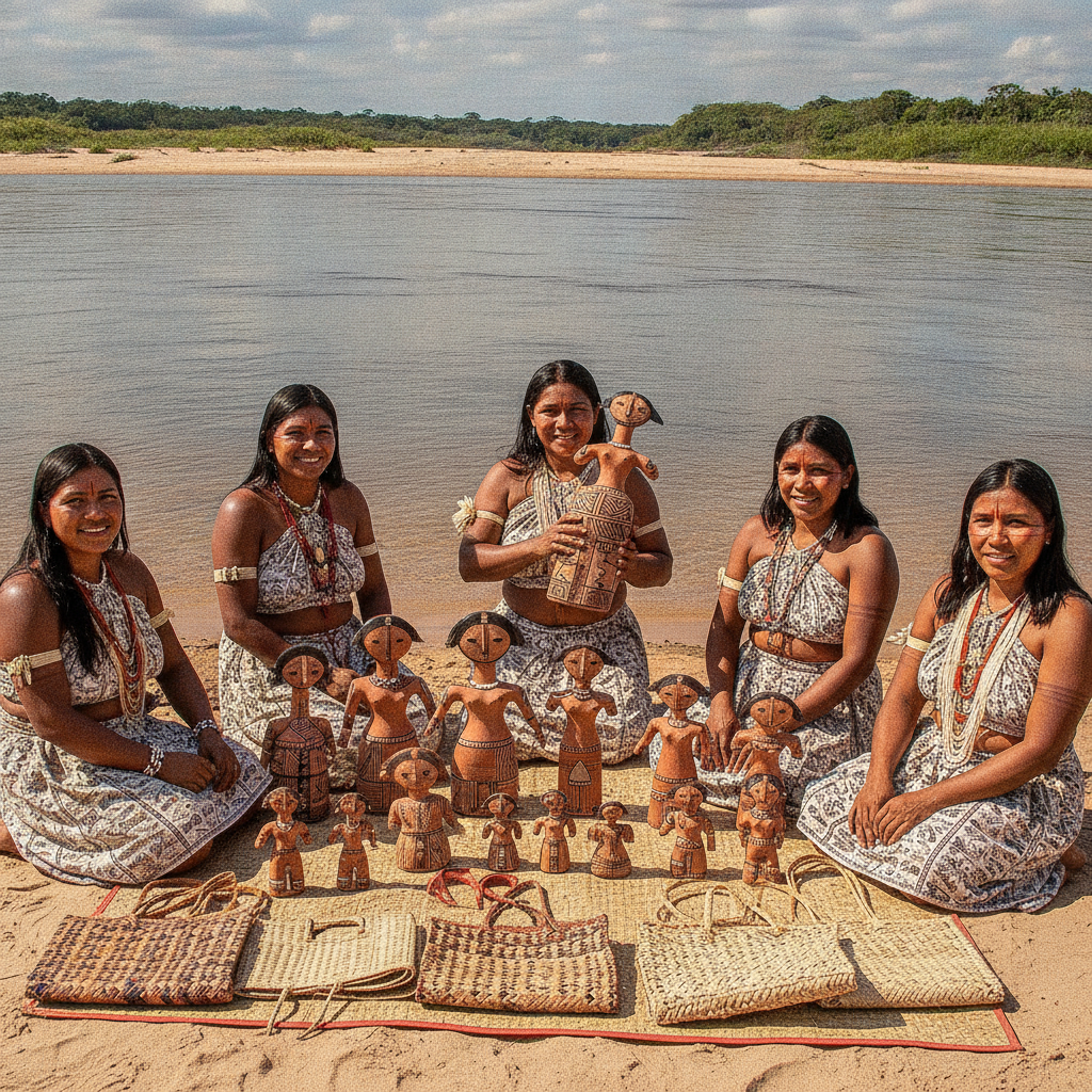
The Karajá people of Araguaia are famous for their ceramic dolls (Ritxòkò) — female figurines that transmit cultural knowledge and are now recognized as Brazil's most distinctive indigenous ceramic tradition
- 6
River fishing culture
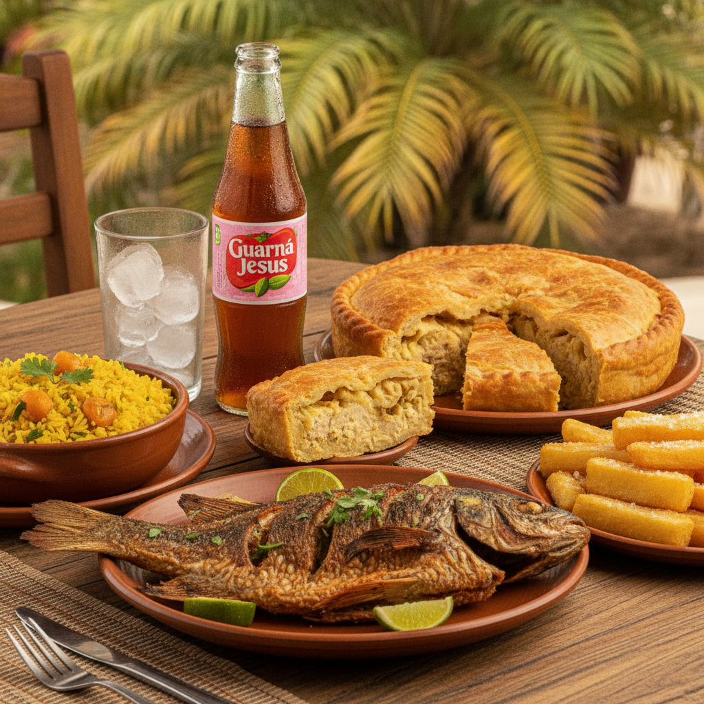
The fishing communities of the Tocantins and Araguaia rivers maintain traditional fishing knowledge — the diversity of fish, seasonal patterns and preparation methods are a living heritage of the river people of central Brazil
Walk this route with audio
Stories play automatically as you reach each stop — no tapping needed.
More in Palmas
Palmas Cerrado: Central Brazil's Ecological Heartland
Karajá Culture: The Araguaia's Living Art Tradition
Lago de Palmas: Brazil's Newest Capital on the Tocantins
Tocantins at the Table: Pequi, River Fish & Frontier Flavours
Palmas: The Last Great Planned City of the 20th Century