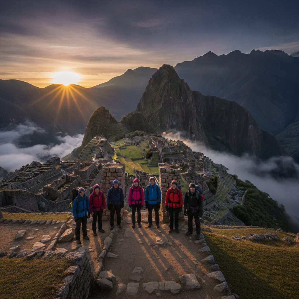

Machu Picchu Approaches: Inca Trail, Salkantay, and the Train Route
The approach to Machu Picchu is almost as famous as the destination itself, with the four-day Inca Trail trek finishing through the Sun Gate at dawn the most celebrated arrival sequence in adventure travel. But the Inca Trail is only one of several approaches, and for travelers who cannot obtain Inca Trail permits, lack the fitness for the trek, or prefer different landscapes, the Salkantay, Lares, and Choquequirao routes provide equally rewarding multi-day approaches. The train from Ollantaytambo through the Urubamba gorge is the standard non-trekking arrival, and the Hidroelectrica station walk provides a budget alternative. This route covers all the ways to reach one of the most visited places on earth.
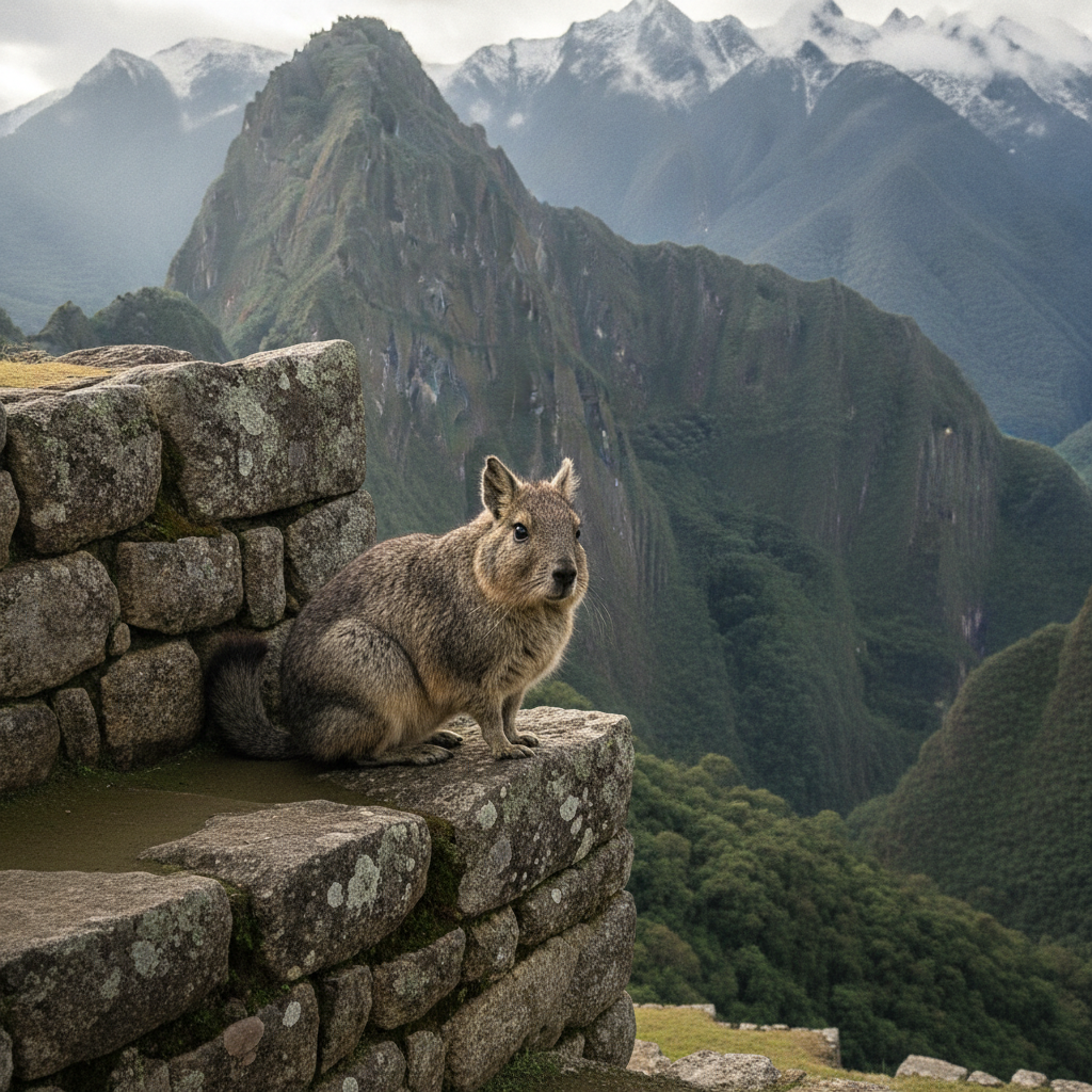
Machu Picchu Wildlife and Cloud Forest Ecology
Machu Picchu sits in the cloud forest zone, an ecological transition between the Andean highlands and the Amazon basin that supports an extraordinary concentration of species. The ruins themselves are inhabited by viscachas, the rabbit-like rodents that perch on the walls in the morning sun. The cloud forest surrounding the site supports over 420 bird species, including the cock-of-the-rock whose males display in leks near the railway tracks below the ruins. Spectacled bears, the only bear species in South America and the model for Paddington Bear, move through the forest of the Machu Picchu Historical Sanctuary. This route covers the ecological significance of the Machu Picchu area beyond its archaeological fame.
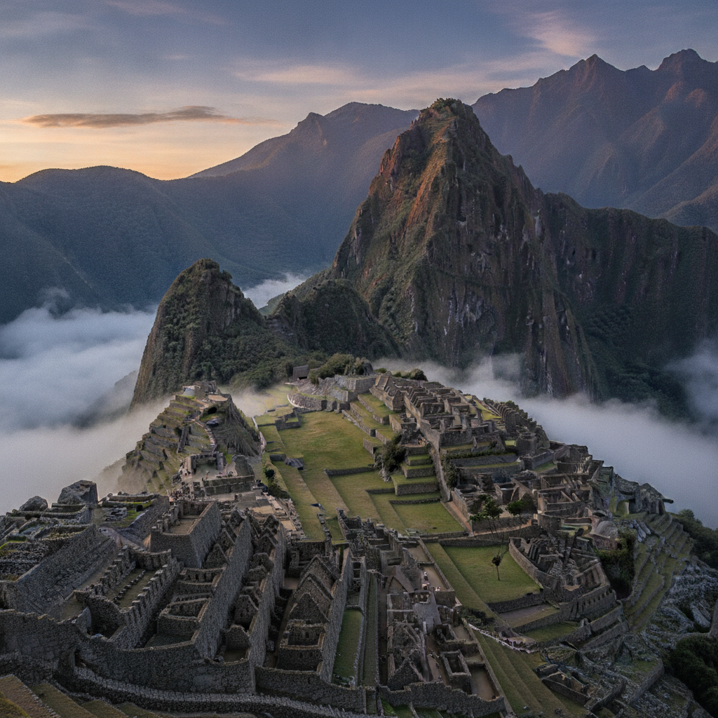
Machu Picchu: The Cloud City of the Inca and the Most Visited Site in the Americas
Machu Picchu, the Inca royal estate built around 1450 on a saddle ridge above the Urubamba River in the cloud forest zone below Cusco, was abandoned within a century of construction and remained unknown to the outside world until Hiram Bingham reached it in 1911 with the guidance of local farmers who had been farming its terraces throughout the intervening centuries. The site at 2,430 meters sits below the permanent cloud layer above the Sacred Valley, surrounded by steep forested ridges and the serpentine Urubamba gorge 400 meters below. The combination of extraordinary landscape setting, the mystery of its abandonment and rediscovery, and the quality of its Inca architecture has made it the most visited archaeological site in the Americas and one of the most photographed places on earth.
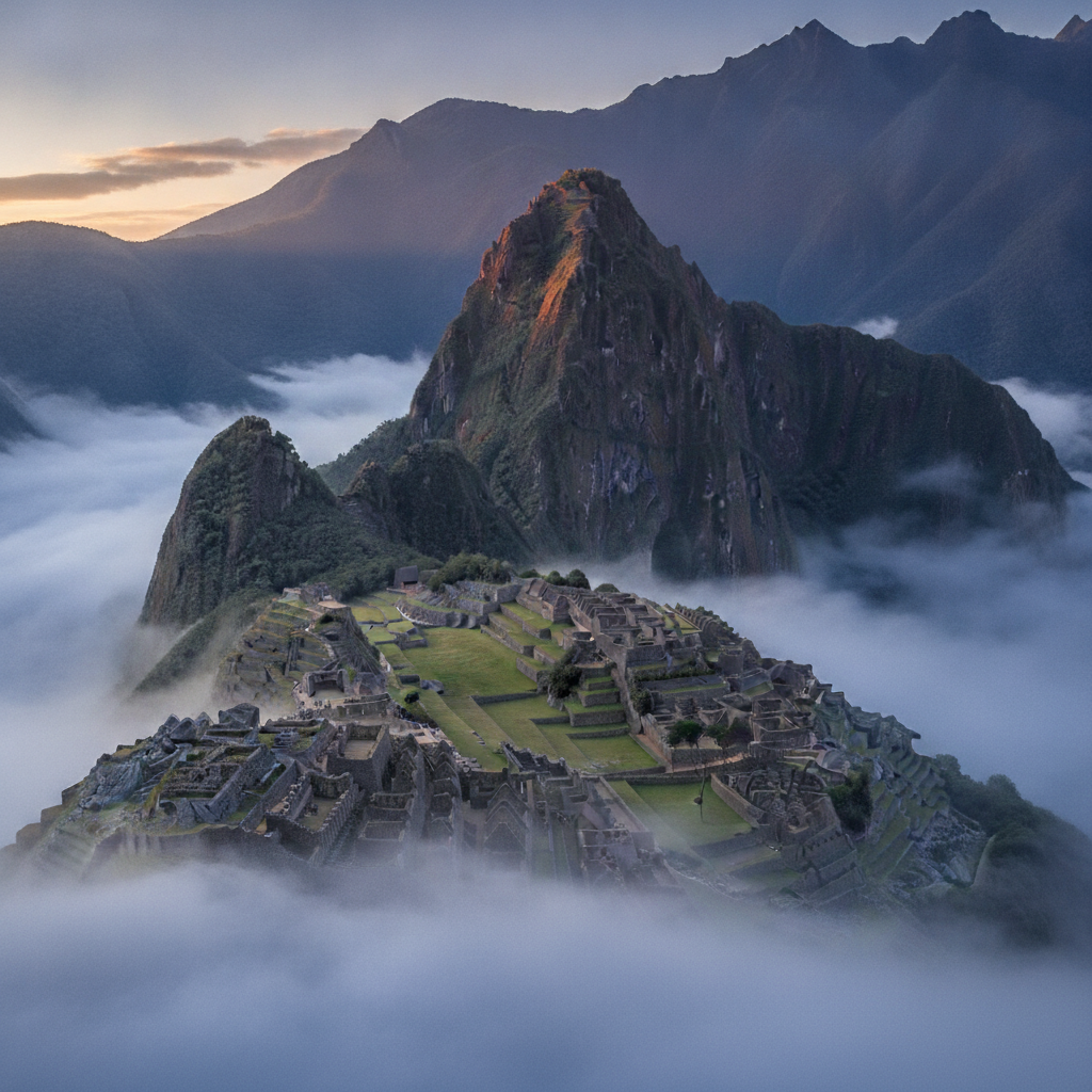
Machu Picchu Photography: Light, Viewpoints, and the Best Conditions
Machu Picchu is one of the most photographed places on earth, and the challenge for the visiting photographer is to find conditions and perspectives that distinguish their images from the millions of identical shots taken from the standard viewpoint above the agricultural terraces. The quality of light at the site changes dramatically through the day and between seasons; the morning cloud sea filling the Urubamba gorge and burning off by midday is the defining atmospheric condition. Entry time slots, camera restrictions, and the fixed circuit paths create constraints on movement. This route covers the practical and aesthetic aspects of photographing Machu Picchu effectively.
Machu Picchu Practical Guide: Tickets, Entry Rules, Costs, and What to Bring
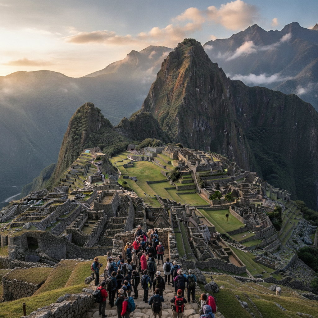
Machu Picchu requires more advance planning than almost any other archaeological site in the world. The combination of limited daily tickets, mandatory time-slot entry, the logistical chain of train booking and bus booking on top of site entry, and the physical demands of arriving at 2,430 meters after the potential altitude effects of Cusco at 3,400 meters means that visitors benefit from detailed practical preparation. This route consolidates the essential practical information for a successful Machu Picchu visit.
Machu Picchu Archaeology: What We Know and What Remains Uncertain
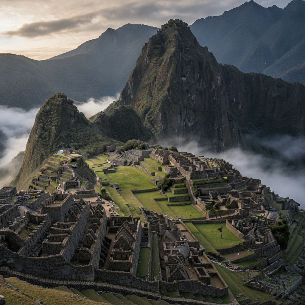
A century of archaeological research since Hiram Bingham first documented the ruins has clarified much about Machu Picchu but left fundamental questions unresolved. The site function, its abandonment, the population that inhabited it, and the precise dates of its construction and occupation remain subjects of active scholarly debate. The return of the Yale artifacts to Peru and their study in the Cusco museum has advanced understanding of the demographic profile of the site occupants. This route examines the current state of knowledge about one of the world most famous yet least understood monuments.
Machu Picchu in Context: The Inca Road System and the Network of Sites
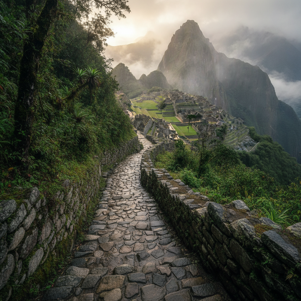
Machu Picchu did not exist in isolation but was one node in the extraordinary Inca road system, the Qhapaq Nan, that connected 40,000 kilometers of paved and improved paths running the length of the Andean backbone. The roads linked hundreds of administrative centers, royal estates, and religious sites in a network that allowed rapid movement of armies, information via relay runners, and goods in the Inca redistribution economy. Understanding Machu Picchu as part of this network, connected to Cusco, the Sacred Valley, and the jungle frontier, transforms the ruins from an isolated wonder into a component of the most sophisticated pre-industrial road infrastructure in the Americas.
Machu Picchu Site Circuits: What to See and How to Navigate the Ruins
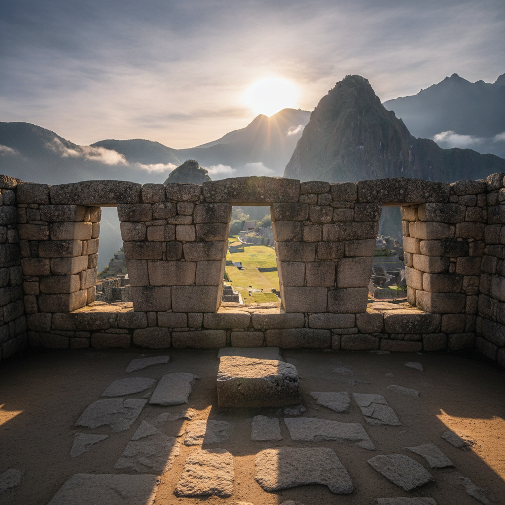
The Machu Picchu site is now organized into numbered circuits that visitors must follow in the designated direction to manage crowd flow and protect the most fragile sections of the stonework from concentrated foot traffic. The two main circuits cover different sections of the site, and visitors must choose at the time of ticket purchase which circuit they will follow. Understanding the layout of the site before arrival allows better decisions about which circuit matches your interests. This route walks through the key architectural and archaeological features of each main section of the ruins.