Lake Toba Supervolcano & Geological Walk
Understand the geological forces that created Lake Toba — the world's largest volcanic lake occupies the caldera of a supervolcano whose eruption 74,000 years ago was one of the most catastrophic events in human prehistory, and the landscape of the caldera, the lake, and the resurgent island of Samosir tells the story of this geological drama.
- 1
Caldera Rim Panorama
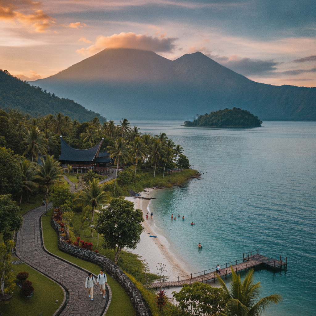
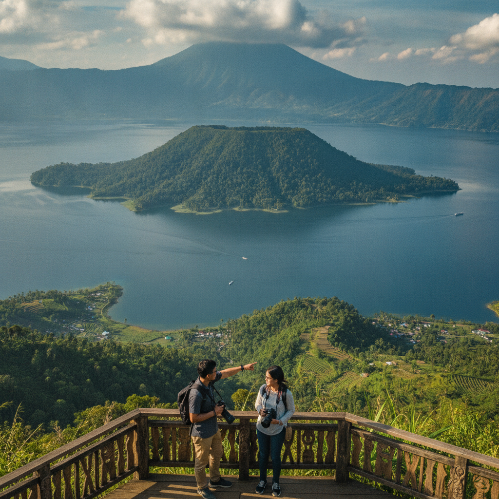
The caldera rim of the Toba supervolcano forms the mountainous walls surrounding Lake Toba on all sides — the rim rises 300 to 900 metres above the lake surface, creating a dramatic bowl landscape visible from almost anywhere in or around the lake. The caldera wall is actually the remains of the pre-eruption volcanic edifice collapsed into the evacuated magma chamber after the eruption, and its varied topography reflects the complex geology of a structure that has been volcanically active at multiple periods since the catastrophic eruption 74,000 years ago.
- 2
Samosir Resurgent Dome
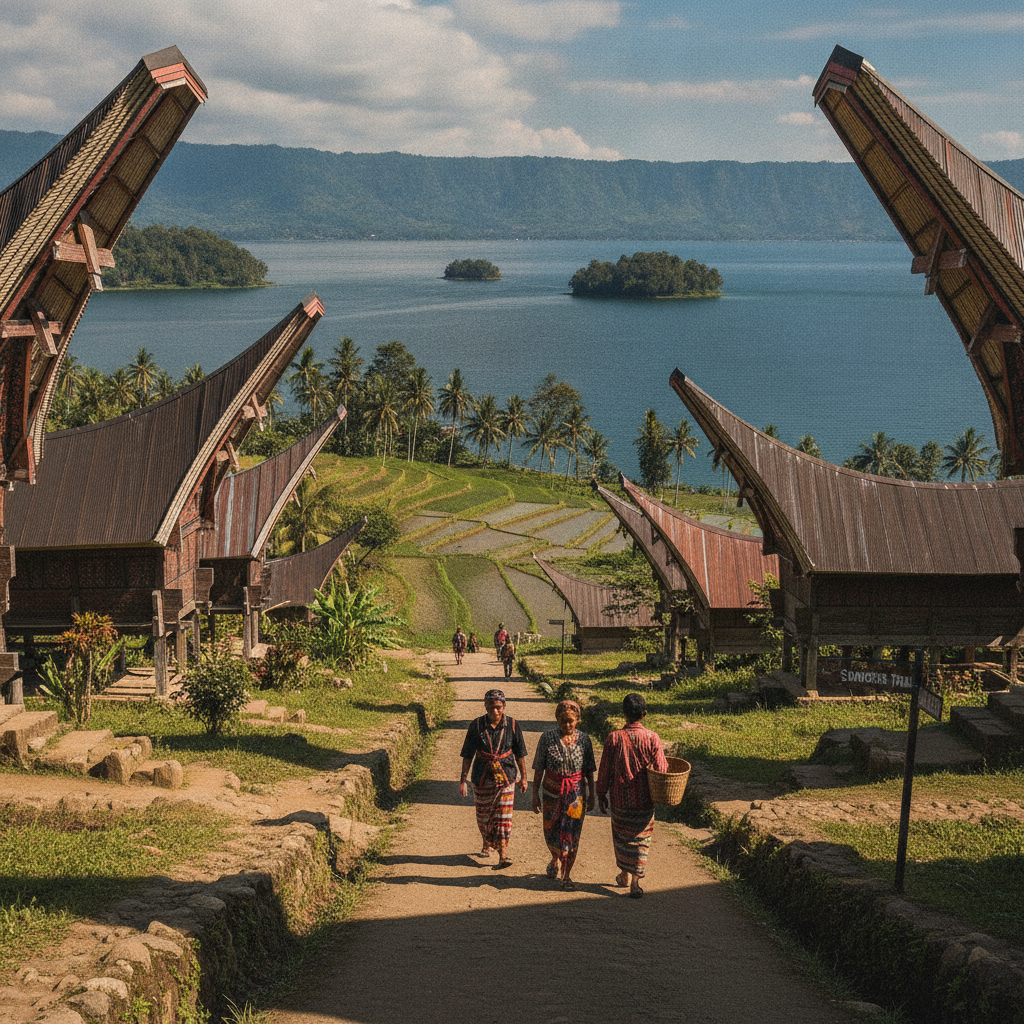
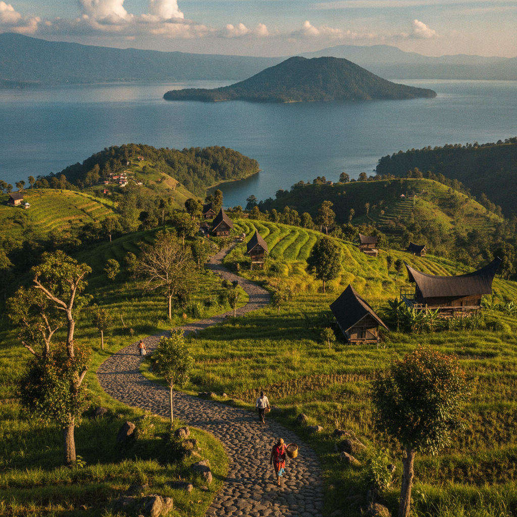
Samosir Island is geologically a resurgent caldera dome — the landmass that fills the centre of the lake was pushed up from below by continued magmatic activity after the original caldera formed, and the island has risen approximately 450 metres above its original position in the caldera floor. This geological process of post-eruption dome resurgence is common in supervolcano calderas, and Samosir's emergence transformed the original caldera lake from a single enclosed basin into the complex water body with a large central island that exists today.
- 3
Toba Tuff Geological Formation
The Toba Tuff, the volcanic deposit from the 74,000-year eruption, is exposed in road cuts and cliff faces around the lake — the distinctive white and grey welded tuff (ignimbrite) formed when the pyroclastic flows from the eruption cooled and consolidated, creating a rock layer found across Sumatra, Malaysia, India, and even as volcanic ash deposits in distant ocean sediment cores. The tuff provides the geological evidence that allows scientists to calculate the volume of material erupted and reconstruct the sequence of events during the eruption.
- 4
Pusuk Buhit Volcano
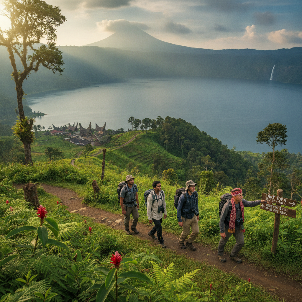
Pusuk Buhit (2,985m) on the western shore of Lake Toba is a younger volcano that post-dates the caldera formation — the active volcanic centre that has erupted within the last 100,000 years represents the continued volcanic activity of the Toba magmatic system, and its sacred significance in Batak mythology (as the birthplace of the Batak people's founding ancestor Si Raja Batak) overlays geological significance with cultural meaning. The mountain is both a hiking destination and a pilgrimage site for Parmalim practitioners.
- 5
Lake Toba Depth and Volume
Lake Toba's physical statistics reflect its supervolcanic origin — at 505 metres deep, it is the deepest lake in Southeast Asia, and its volume of approximately 240 cubic kilometres makes it the world's largest volcanic lake by volume. The lake's thermal stratification, its characteristic water chemistry, and the endemic fish species (the Batak fish, Neolissochilus thienemanni) that evolved in isolation within the caldera document the ecological consequences of a lake that has been isolated in a volcanic caldera for tens of thousands of years.
- 6
Future Volcanic Risk Assessment
The Toba magmatic system remains active — hot springs around the lake shore, the continued slow uplift of Samosir Island, and the seismic activity detected by Indonesian geological monitoring demonstrate that the supervolcano is geologically alive. Scientists debate whether Toba is capable of another supereruption on the scale of the Pleistocene event, with current consensus suggesting that a supereruption is unlikely in the near future but that smaller eruptions (comparable to the 1815 Tambora eruption) are possible. The monitoring infrastructure around Lake Toba is part of Indonesia's volcanic risk management system.
Walk this route with audio
Stories play automatically as you reach each stop — no tapping needed.