Lake Toba Nature & Highland Ecology Walk
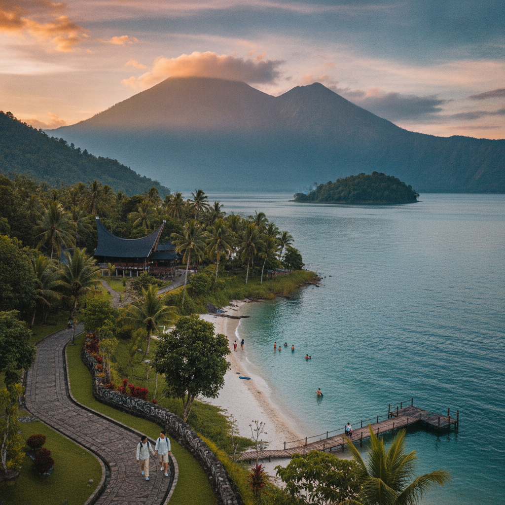
Explore the natural ecology of the Toba highlands — the caldera lake environment with its endemic fish, the highland forests of the caldera rim, and the agricultural landscape of the Batak homeland provide a nature experience distinct from the lowland tropical forests of coastal Sumatra.
- 1
Lake Toba Water Ecology
Lake Toba's isolated caldera environment has produced endemic species not found elsewhere — the Batak fish (Neolissochilus thienemanni) found only in this lake, the endemic shrimp species, and the specific freshwater invertebrate community of the lake represent the evolutionary consequence of long isolation within a caldera. The lake's exceptional depth (505m), its thermal stratification into distinct temperature layers, and its chemical composition shaped by volcanic inputs create an aquatic environment that is genuinely unique at the global scale.
- 2
Caldera Rim Forest Walk
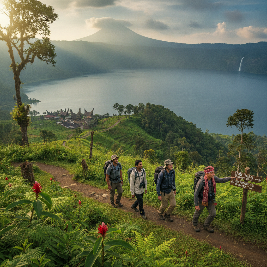
The highland forest along the caldera rim above 1200m elevation supports a cool highland flora distinct from the lowland tropical vegetation of coastal Sumatra — the montane forest with its tree ferns, orchids, and the distinctive highland bird community (including the endemic Sumatran laughingthrush and the stunning Sumatran cochoa) provides a birdwatching and nature walking environment that highland visitors find as rewarding as the cultural experiences of the lakeside villages below.
- 3
Sipisopiso Waterfall
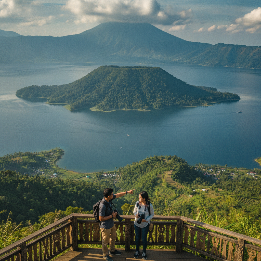
Sipisopiso Waterfall near Tongging at the northern end of Lake Toba is one of the tallest waterfalls in Indonesia — the waterfall dropping 120 metres from an underground river that emerges from a cliff in the caldera wall into Lake Toba below provides a dramatic visual introduction to the caldera landscape for visitors approaching from Berastagi and Medan. The viewpoint above the falls looks across to Samosir Island in the centre of the lake, providing a sweeping panorama that captures both the falls and the broader caldera geography.
- 4
Batak Agricultural Landscape
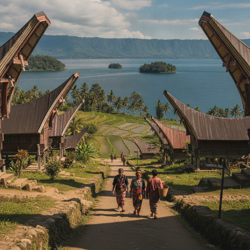
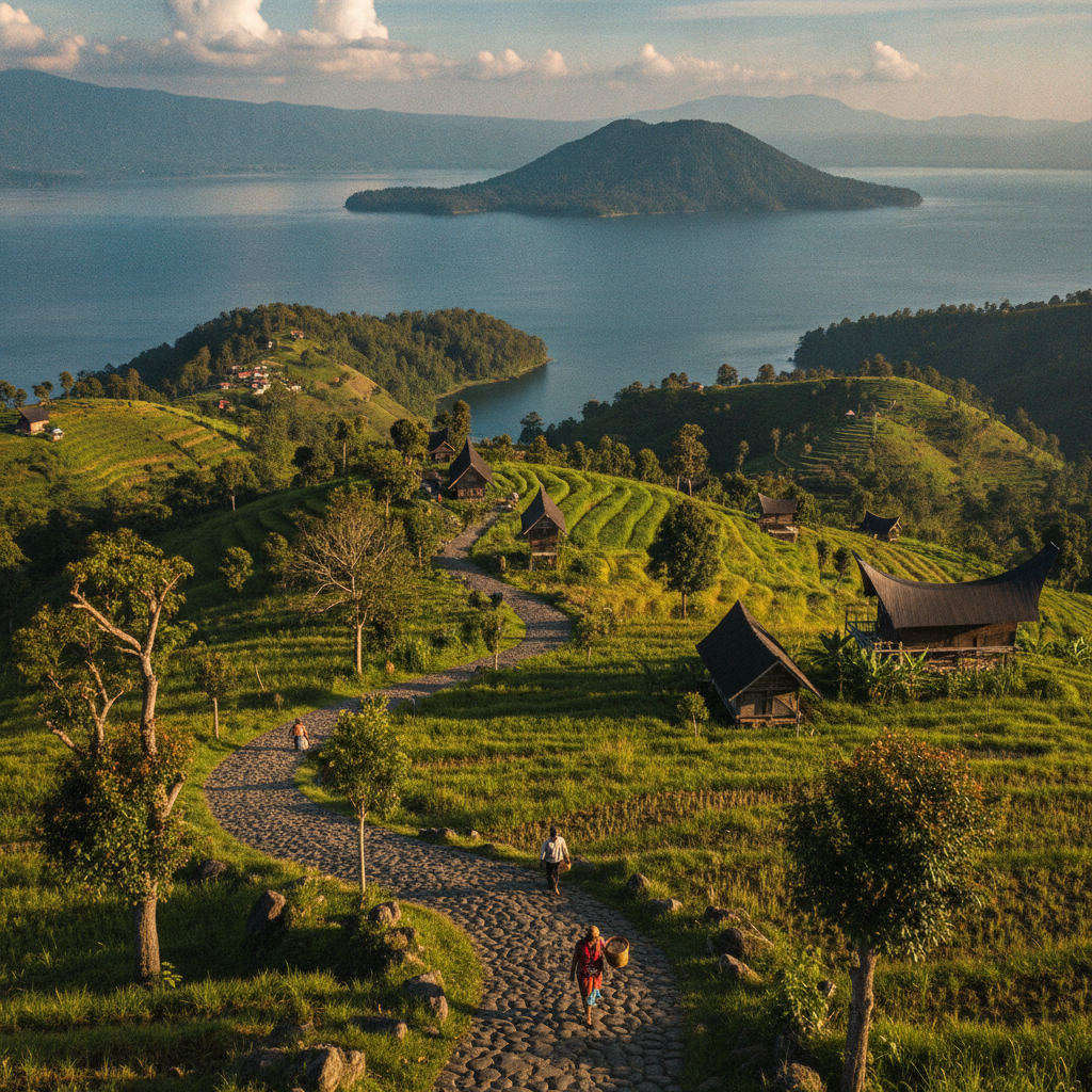
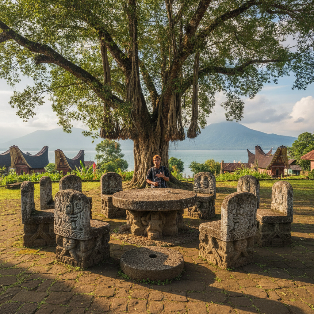
The agricultural landscape of Samosir Island and the caldera rim demonstrates the intensive cultivation that Toba Batak farmers have developed for the highland environment — the terraced rice fields, the coffee and clove gardens, the vegetable plots, and the tobacco fields create an agricultural mosaic adapted to the volcanic soils and highland climate of the Toba region. The highland agriculture provides context for understanding the Batak diet (featuring rice, pork, and the various freshwater fish of the lake) and the economic base of the communities who have lived in the caldera for centuries.
- 5
Lake Toba Fish Farms
The floating net cage fish farms visible across Lake Toba are a contentious feature of the caldera lake — the intensive tilapia (nila) aquaculture that has expanded dramatically since the 1990s produces significant fish protein for North Sumatra but has contributed to the eutrophication and declining water quality of the lake. The tension between the economic importance of aquaculture for lakeside communities and the environmental impact on the water quality that makes Lake Toba's blue waters famous represents a microcosm of the sustainable development challenges facing natural heritage sites throughout Indonesia.
- 6
Samosir Island Cycling Route
The road circumnavigating Samosir Island (approximately 90km) is one of the most scenic cycling routes in Sumatra — the lakeside road alternating between fishing villages, traditional Batak settlements, rice terraces, and viewpoints across the caldera lake can be cycled in a full day or completed in stages over two days with overnight stops in village homestays. The cycling circuit provides the most complete experience of Samosir Island's cultural and natural diversity, passing through communities that receive few visitors compared to the tourist concentration at Tuk Tuk peninsula.
Walk this route with audio
Stories play automatically as you reach each stop — no tapping needed.